Waterfall in Eiði - The Faroe Islands

In the Faroe Islands there are a lot of waterfalls, big, small, popular and a little bit more unknown.
This particular one is located just north from the town of Eiði, on Eysturoy island. It is fairly unknown, but rising in popularity among photographers. I don't know if it has an official name, not too sure.

I’ve heard that this waterfall isn’t always there. For example in the summer, when there’s less water in the streams on the hill the waterfall will be reduced to a mere single stream running down the cliff. But in Autumn when I visited this location there was a decent amount of water plunging down into the Atlantic ocean. Take a look at some of my shots from this location.

Panorama of the entire coastline just outside of Eiði.

Long exposure shot of the waterfall.

Looking back into the other direction you can see the 71 meter high sea stack “Risin” in front of the rugged clifss. Absolutely amazing scenery.

Massive waves crashing into the cliffs, and the wind is blowing the waterfall back up onto the cliff.

Another long exposure, with me trying to stand still. Which was pretty hard with heavy winds throwing you around.

Thank you for checking this blogpost out, feel free to share this link on your social media. That would be highly appreciated.

The Faroe Islands: 3 Photographs

Gjógv

Gjógv is a village located on the northeast tip of the island of Eysturoy, in the Faroe Islands and 63 km (39 mi) north by road from the capital of Tórshavn. The village was named after a 200-metre (650 ft) long sea-filled gorge that runs north to the sea from the village. You can see the gorge on this photograph. And even though the weather wasn’t all that I still decided to go up on the hill that overlooks the town. I slid down and fell on my face a few times, but that did not stop me from enjoying this amazing view.

Gjógv, I got dirty and soaking wet, slipped and fell on my face a few times. But I just had to get up here to take this shot.

Gjógv, I got dirty and soaking wet, slipped and fell on my face a few times. But I just had to get up here to take this shot.

Kópakonan

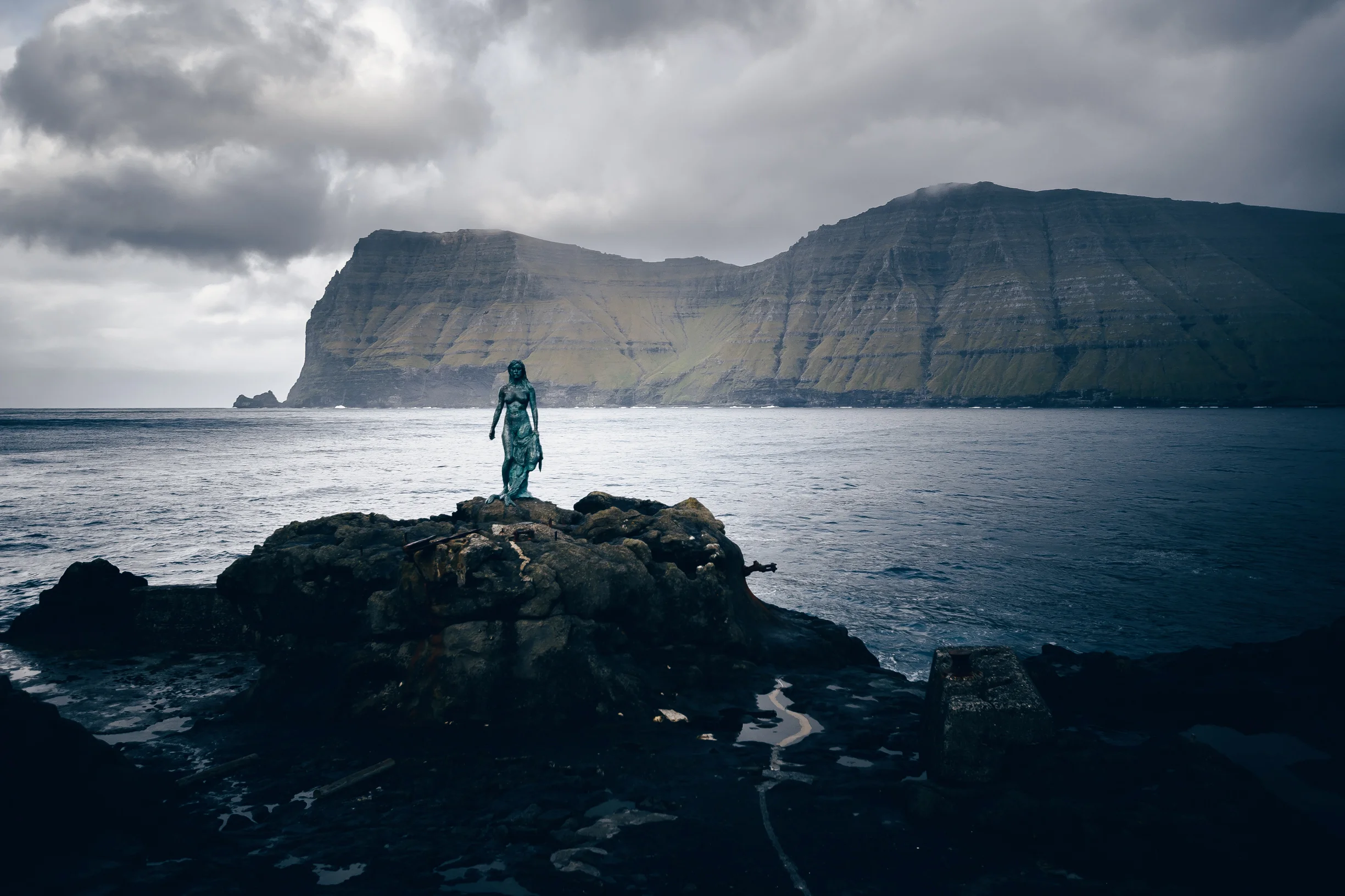
The legend of Kópakonan (the Seal Woman) is one of the best-known folktales in the Faroe Islands. Seals were believed to be former human beings who voluntarily sought death in the ocean. Once a year, on the Thirteenth night, they were allowed to come on land, strip off their skins and amuse themselves as human beings, dancing and enjoying themselves.
More about the saga right here: Visit Faroe Islands

Kópakonan (Seal Woman)

Kópakonan (Seal Woman)

Syðrugøta

At first I had this photograph up on my site, saying it was the town of Leirvik. But I was contacted by a friendly Faroese lady that told me that the village on this photograph was not Leirvik, but Syðrugøta. So I was wrong at first. Thank you correcting me misses! Many believe that the great Viking, Tróndur í Gøtu lived and had his headquarters in Syðrugøtu, among many reasons why, is because of the good view he would have had out to the horizon and the short distance to his fleet, stationed Undir Gøtueiði. There are still many unexcavated ruins of centuries old farmhouses buried in the ground in Syðrugøtu. Another fun fact about Syðrugøta: The famous Faroese singer Eivør Pálsdóttir was born here

Syðrugøta

Syðrugøta

Iceland: Gaukshöfði, Vik, Laxa i Kjos, Strandarkirkja

In this blog post I will share 4 images, of 4 amazing locations in Iceland. Some well known and "touristy" others a little more undiscovered.
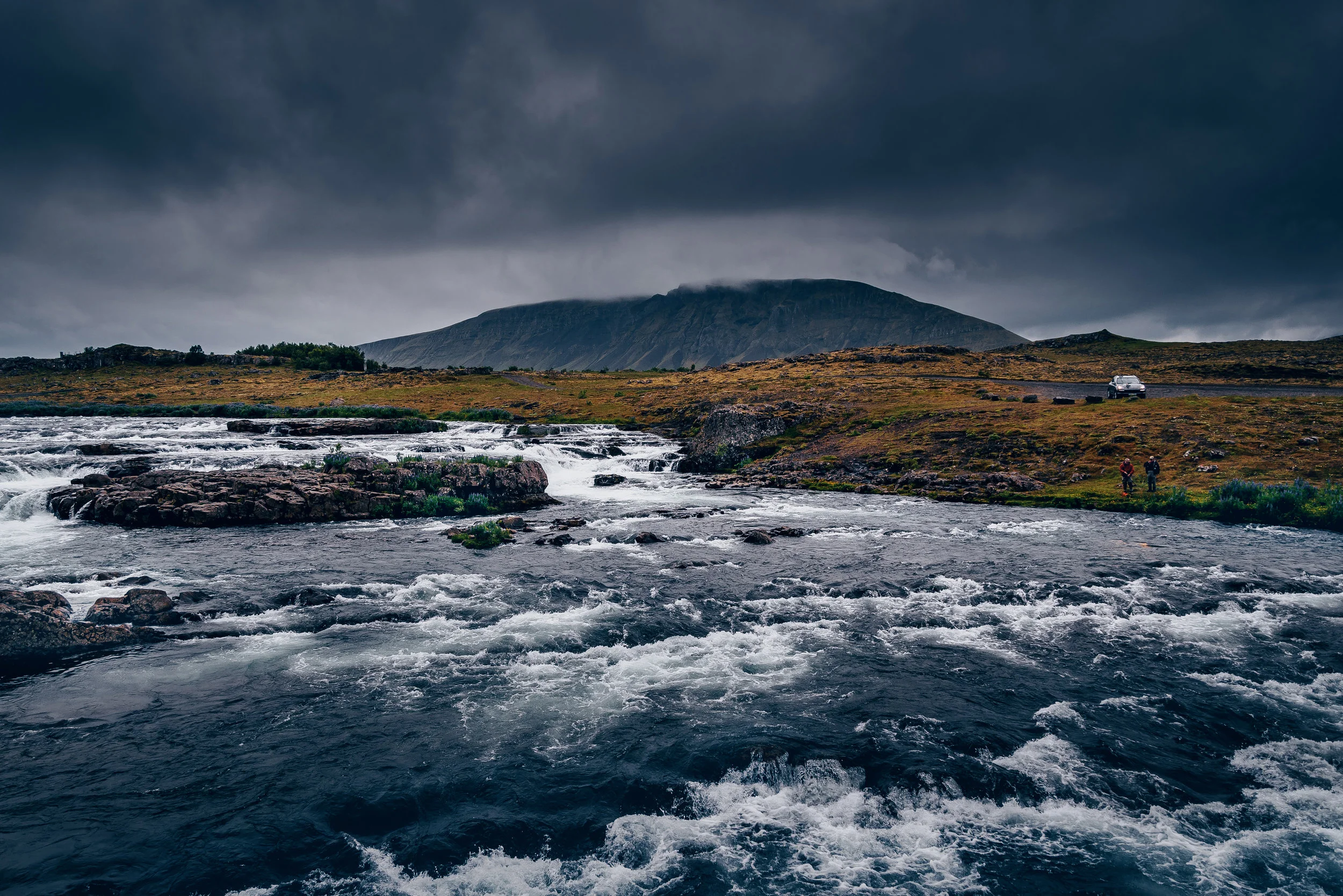
Gaukshöfði

A small detour from the Rte 32, a steep climb up the rocky cliffs — and you’re rewarded with fabulous views over the wide aquamarine Þjorsá river. In the distance is the low mound of Hekla volcano.The overlook point, with narrow trails on two rocky hills, perhaps 300 feet tall, is named for Gaukur, a 10th century resident of nearby Stong, a viking longhouse. The stories say he was murdered by his foster brother. Bones and weapons were found at the base of the cliffs, which everyone assumed must belong to the combatants.

Gaukshöfði

Vik

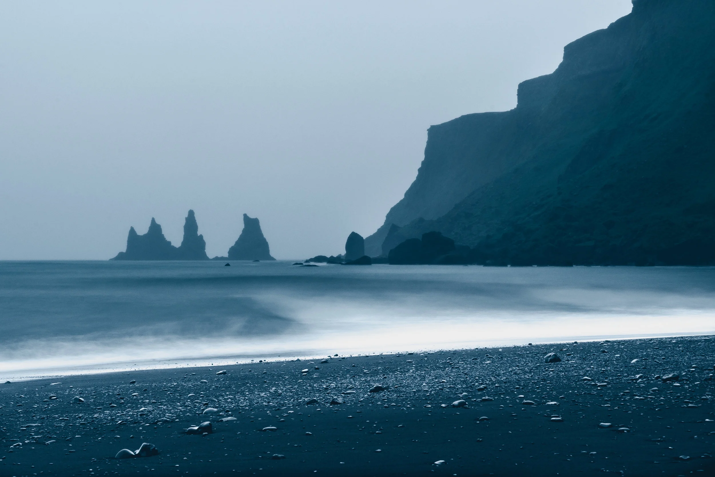
Iceland has several volcanic beaches along its coastlines, but Reynisfjara Black Sand Beach is by far the coolest and most famous on the island. It is easily accessible from the main road running through Vík í Mýrdal and taking a walk on the black sand beach is a must. Together With basalt columns, unique lava formations, towering cliffs, and caves the area is a nature lovers delight. 
Vik

Laxa i Kjos

The Laxa i Kjos is the centrepiece of one of the most stunning glacially forged valleys in Southern Iceland.  A narrow upper canyon splays into a gentle, peaceful, arable valley before cascading down the final falls and pools into the sea.  This exceptional river and its beautiful tributary can be reached within an hour’s drive from Reykjavik.

Laxa i Kjos

Strandarkirkja

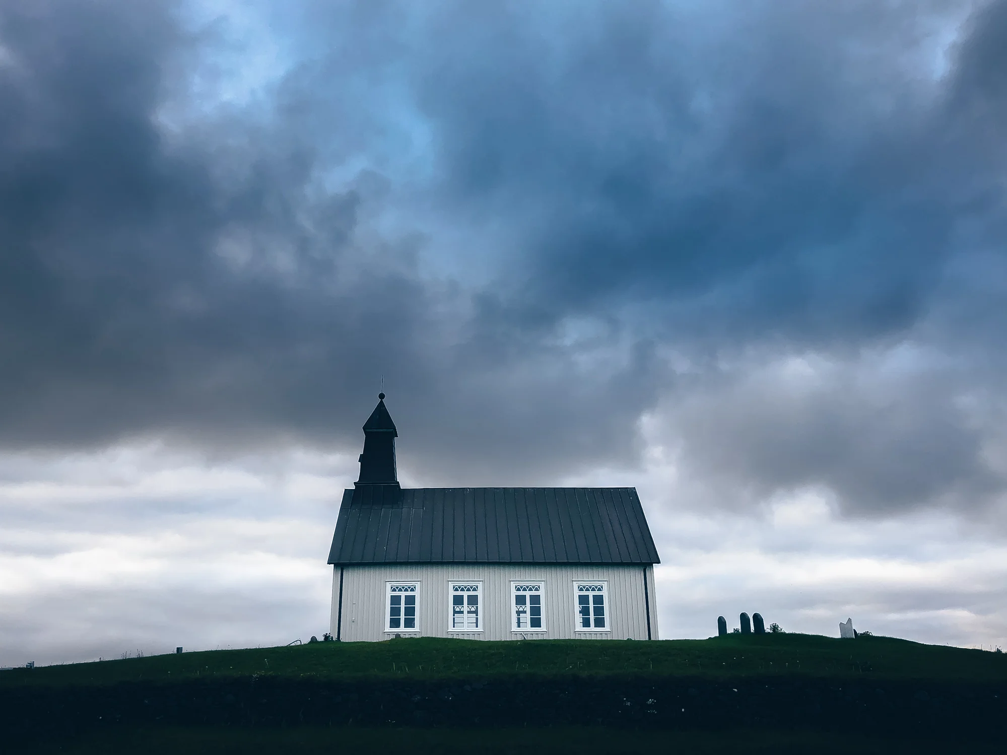
Strandarkirkja is a Lutheran (Church of Iceland) parish church in Selvogur, on the southern coast of Iceland. The church, rising from the coast and pointing its tower towards the heavens, has been a beacon for those travelling at sea. It has more supporters all over the world than any other church in Iceland and is often referred to as the 'miracle church' with the locals' longstanding belief that it has profound, divine powers. Many miracles have been attributed to Strandarkirkja and there was a time when it was one of the richest churches in Iceland from the donations of Icelanders coming from all over the country in hopes of having their prayers and wishes realized.

Strandarkirkja

Kerið

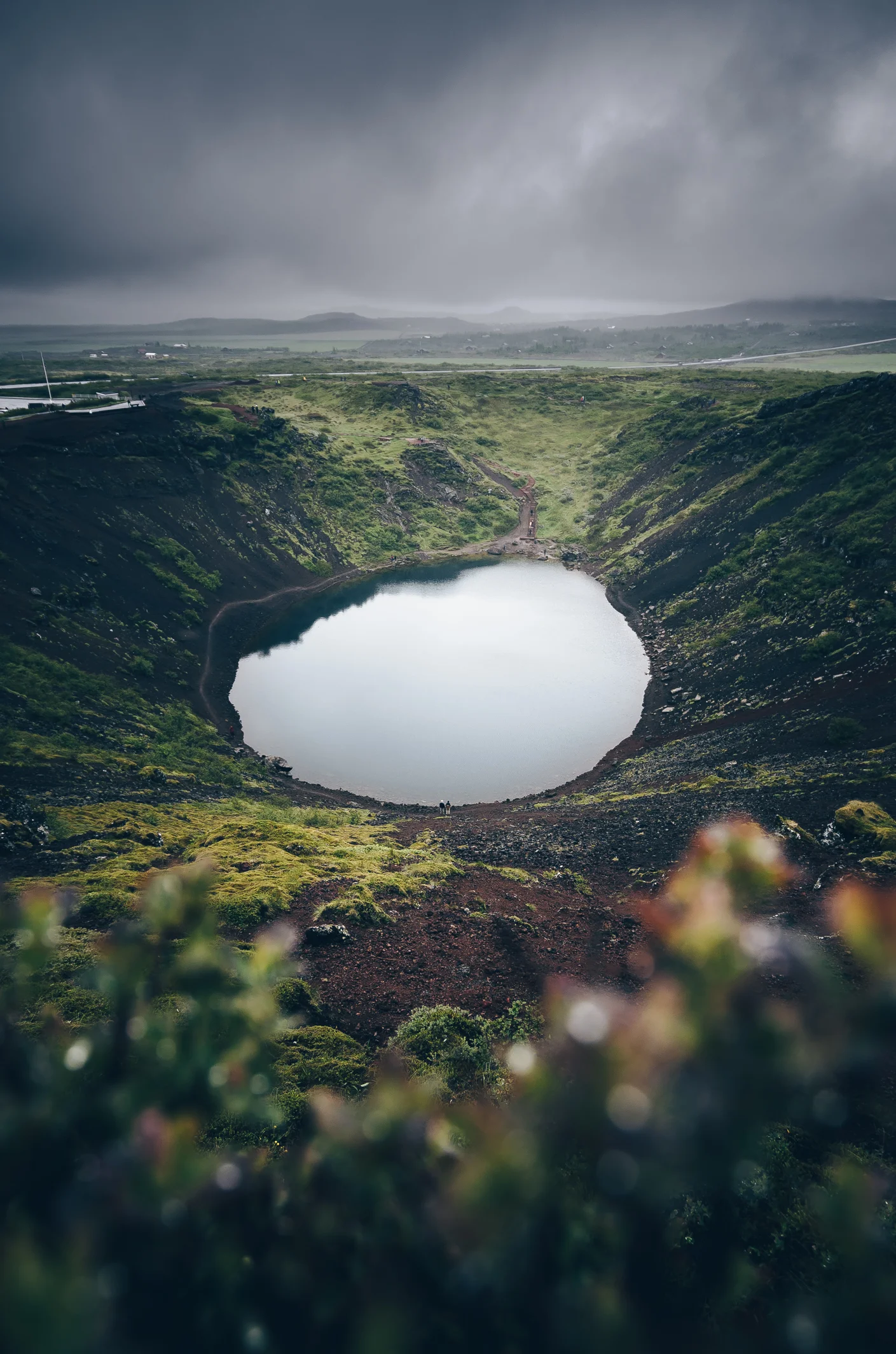
Kerið is a volcanic crater lake located in the Grímsnes area in south Iceland, along the Golden Circle. It is one of several crater lakes in the area, known as Iceland's Western Volcanic Zone, which includes the Reykjanes peninsula and the Langjökull Glacier, created as the land moved over a localized hotspot, but it is the one that has the most visually recognizable caldera still intact. The caldera, like the other volcanic rock in the area, is composed of a red (rather than black) volcanic rock. The caldera itself is approximately 55 m (180 ft) deep, 170 m (560 ft) wide, and 270 m (890 ft) across. Kerið’s caldera is one of the three most recognizable volcanic craters because at approximately 3,000 years old, it is only half the age of most of the surrounding volcanic features. The other two are Seyðishólar and Kerhóll.

Kerið

Kerið

Norway 2014: Revised

Do you know that feeling, when scrolling through your older work, and feel like you could've done a better job at processing and editing some of that work? Well I do. I very often stumble upon old shots that I first thought to be not good enough to make it as a upload. Anywhere. Actually some of them I have completely ignored after taking them. Thinking they were no good. Just leaving them on my harddrive, taking up space. Never to be shown to the world.

For this particulate reason I like to dive into some folders on my pc with old shots. And so I did last night. Norway. October. 2014. A super amazing trip (I got married during this trip) where I shot a ton of decent material. But there's just so much photographs never being looked at the way I did last night... After playing around with editing a few of them I was quite happy with the selection shown below.

Let me know what you think of these shots! Do you have old and untouched shots laying around? You know what to do!!

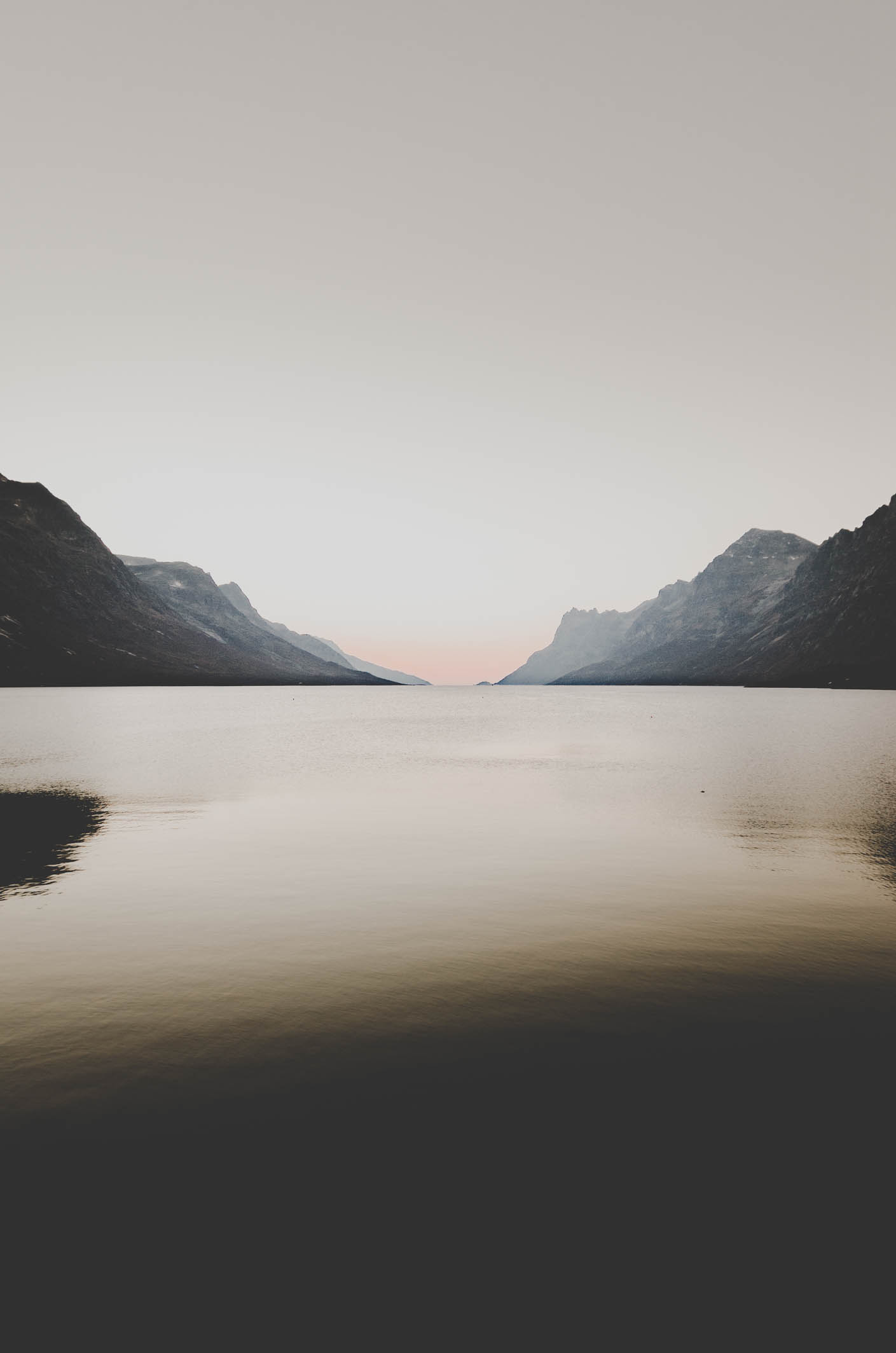
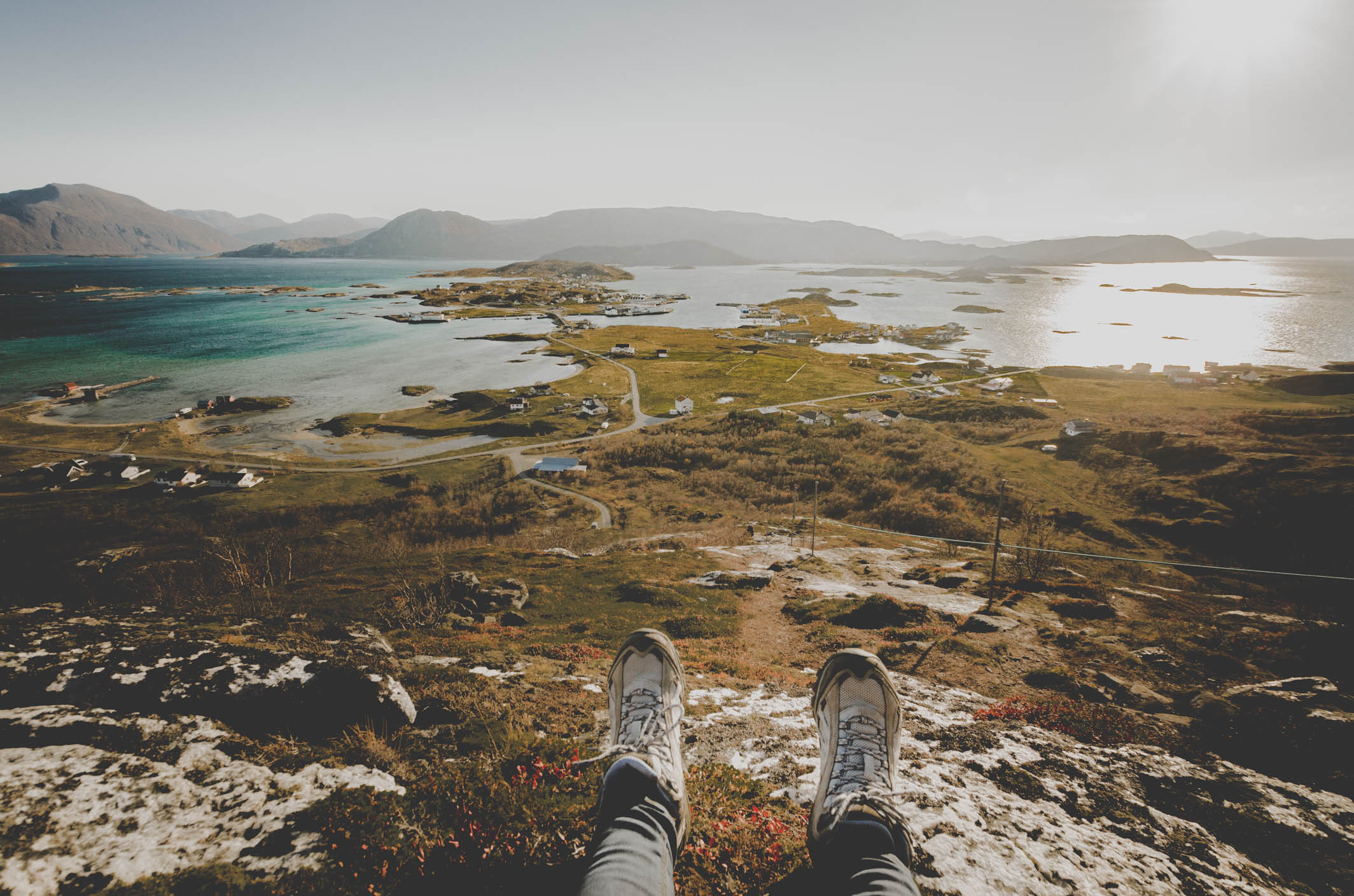
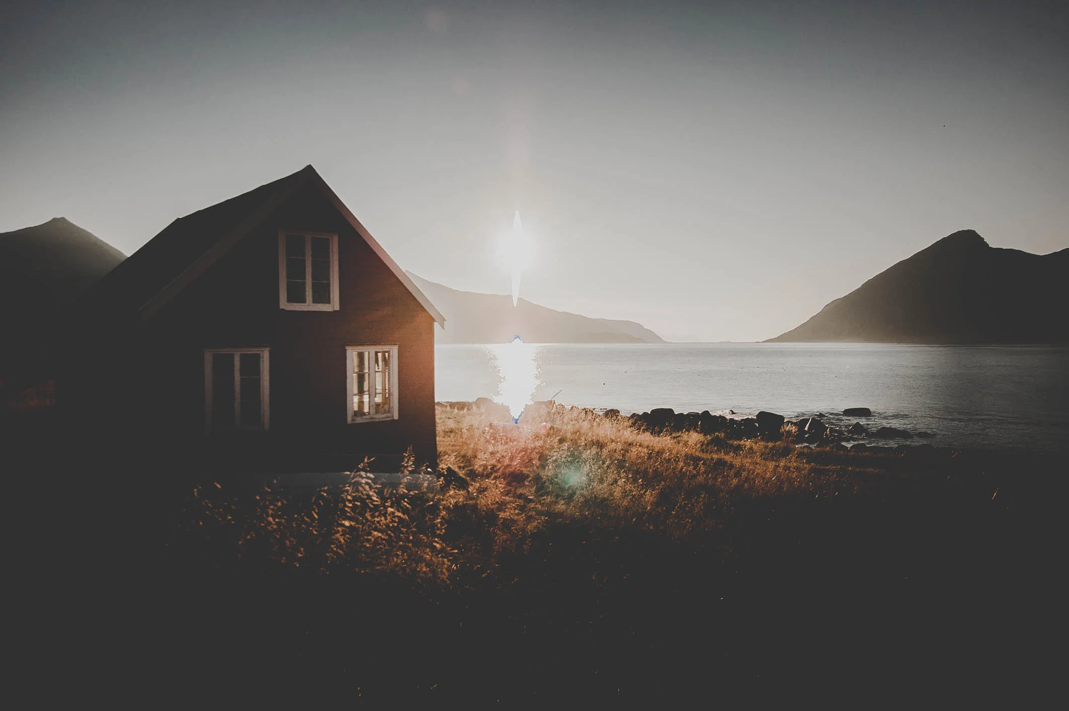
These shots were taken in Ersfjordbotn, Tromvik, Rekvik, Grøtfjord and Sommarøy.  All located just outside of Tromsø


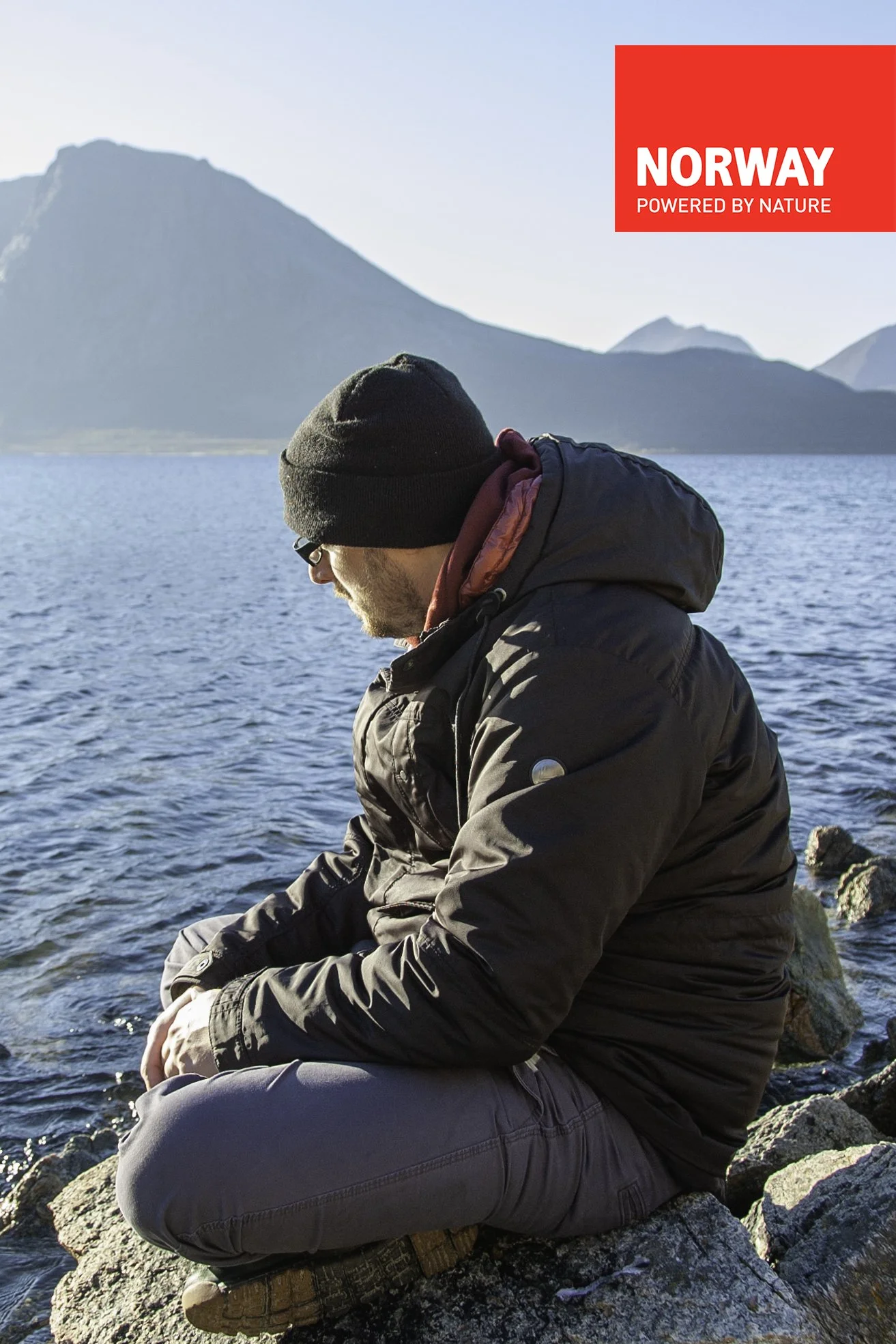
Curios about the region? Click the logo to find out more information about Tromsø and its surroundings. You will be redirected to Visit Tromsø's website. Its the official travel guide to Tromsø. Have fun exploring this amazing city and beautiful landscapes surrounding it.