Stakken - Kvaløysletta, Tromsø, Norway.

Stakken

At Stakken, south of Kvaløysletta, stands a row of boathouses, eleven in all, most of them built using old, traditional building techniques, with turfed roofs. Behind the row of boathouses lie several buildings big and small – a “båtskott” (boat shed), smithy, wooden shack, fishing hut and toilet.

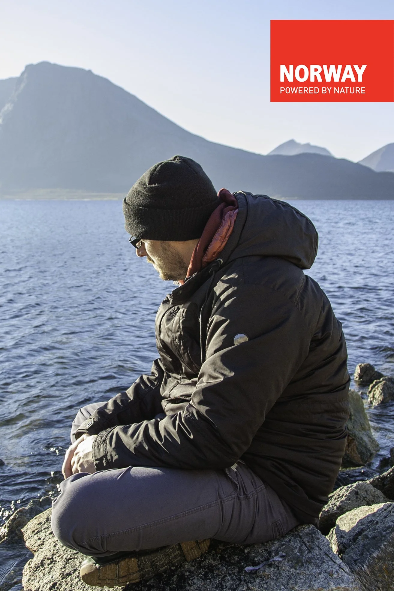
Me, posing in front of the boathouses at “Stakken”

Most of the land is owned by Arctandria, Tromsø Kystlag (founded in 1979). The company also owns two of the boathouses and the buildings behind, and the site has been to a great extent built on a voluntary basis. The rest of the boathouses are privately owned, mostly by members of Arctandria.

In the boathouses are housed old and new Nordland (wooden) boats of different sizes – the largest is the fembøring (five-man boat) Salarøy, which is owned by the Salarøy foundation and is housed in the large boathouse. In its establishment phase at Stakken, the Arctandria association has set up its own buildings, but its main aim is to preserve the coastal culture by restoring old boats, building new ones using traditional principles and holding a variety of courses in restoration, smithcraft, sweeping, etc., as well as 4-H.

The buildings were built according to old designs and building techniques, mostly during the 1980s and 1990s. In many cases there are new materials as well as the re-use of old building materials, which has been the custom along the coast of North Norway for hundreds of years.

Viðareiði - The Faroe Islands

The Northernmost town in The Faroe Islands - Viðareiði

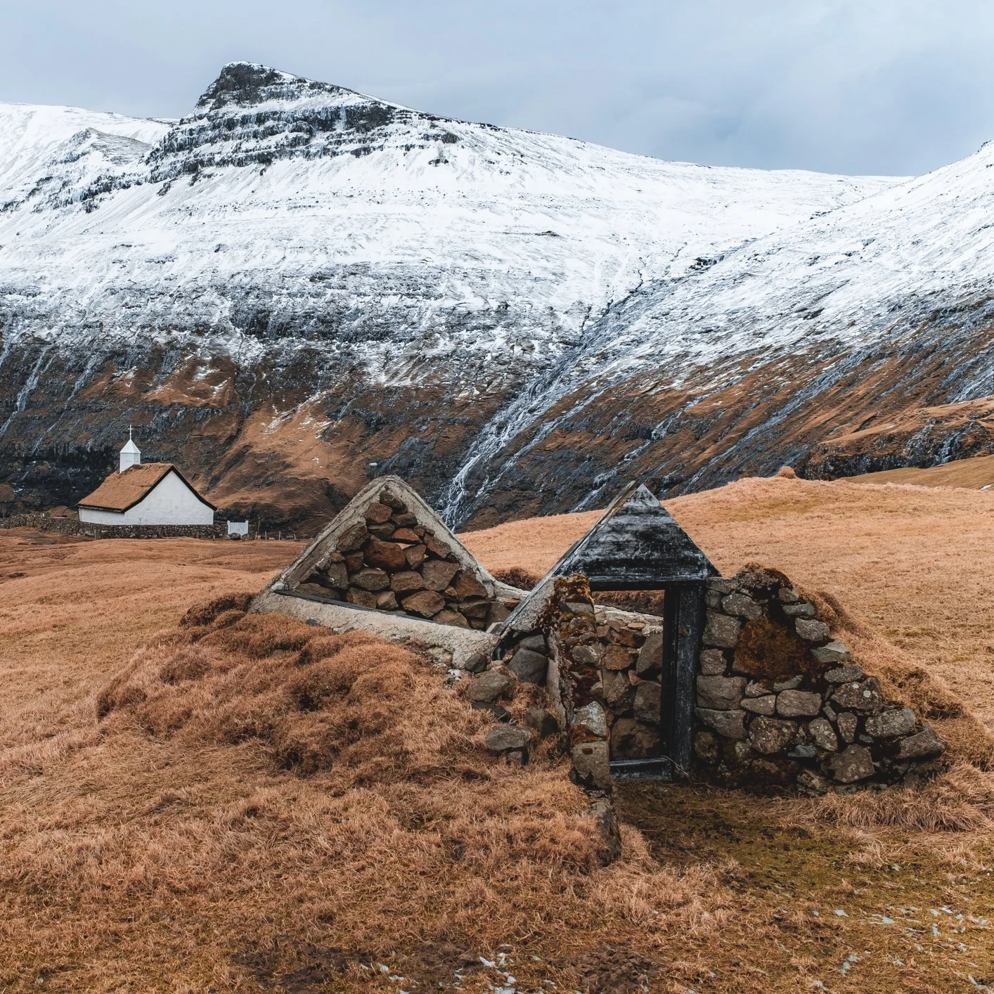
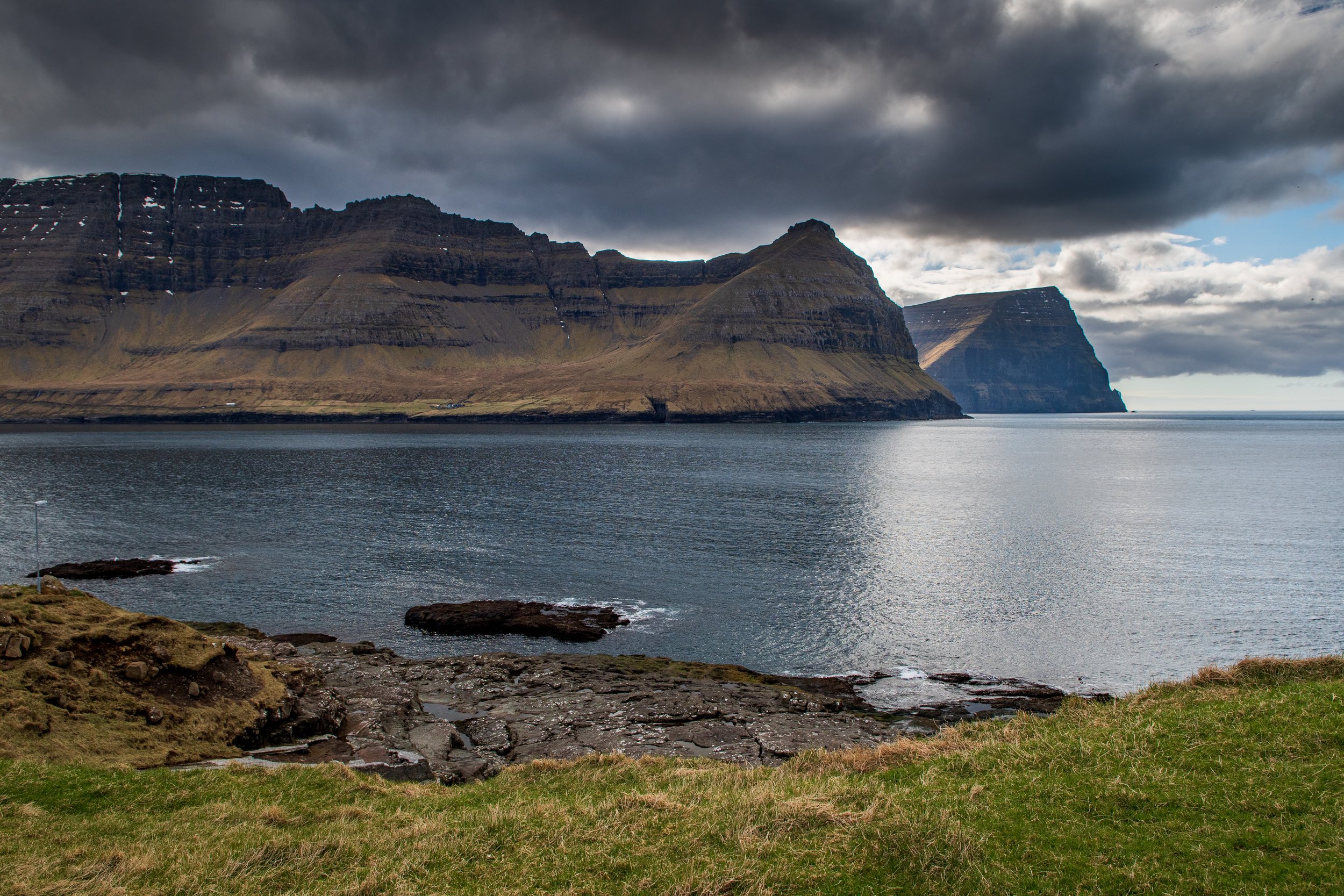
Viðareiði is the northernmost village on the island of Viðoy of the Faroe Islands. The village is situated on an isthmus between two high mountains: on the north side Mount Villingdalsfjall rises 844 meters high above sea level. This is also the highest mountain in the northern islands and the third highest in the entire Faroe archipelago.

Getting to Viðareiði
Viðareiði is connected to the rest of the islands by a dam and tunnel system that allows easy access to the regional center of Klaksvík on Borðoy. The road to Viðareiði goes largely along the west coast of Viðoy with beautiful views of the fjord, where you can also see the many "fish circles," in which mainly salmon are farmed.

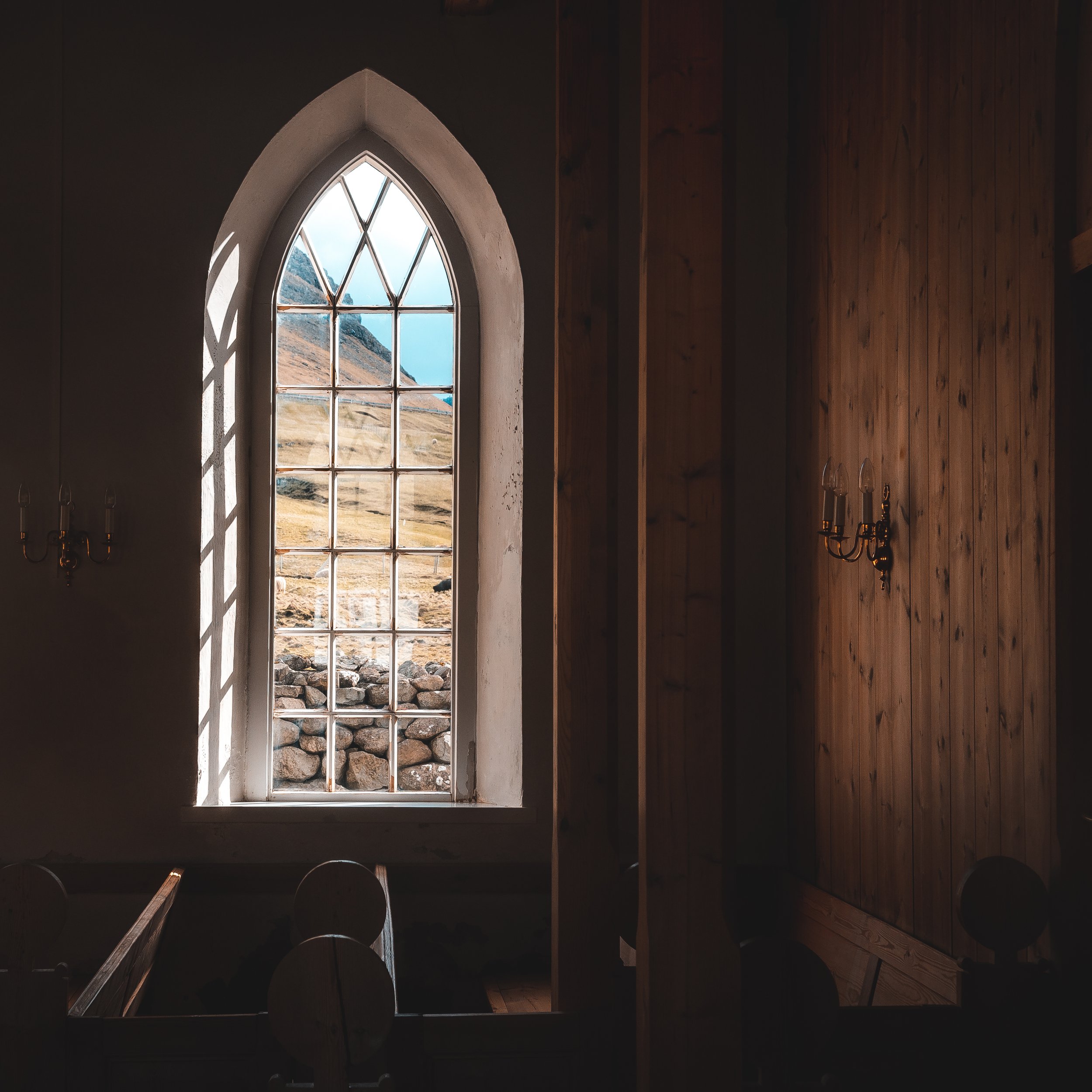
In the 17th century, the old church was destroyed in a storm. It is said that a part of the cemetery was washed away by the sea and that coffins from the cemetery were recovered in Hvannasund and reburied in Viðareiði. The current church was built in 1892. On the northern wall of the church hangs an altar plate, one of the oldest church treasures in the Faroe Islands. Thomas Koppen from Hamburg, who obtained the monopoly on Faroese trade in 1533, donated the altar plate to the church

Viðareiði is known as a good starting point for hikes to Viðoy's northernmost point, Cape Enniberg, which, at 754 meters, is the second highest sea cliff in Europe. The breathtaking view, especially in clear weather, alone makes the trip to Viðareiði worthwhile.

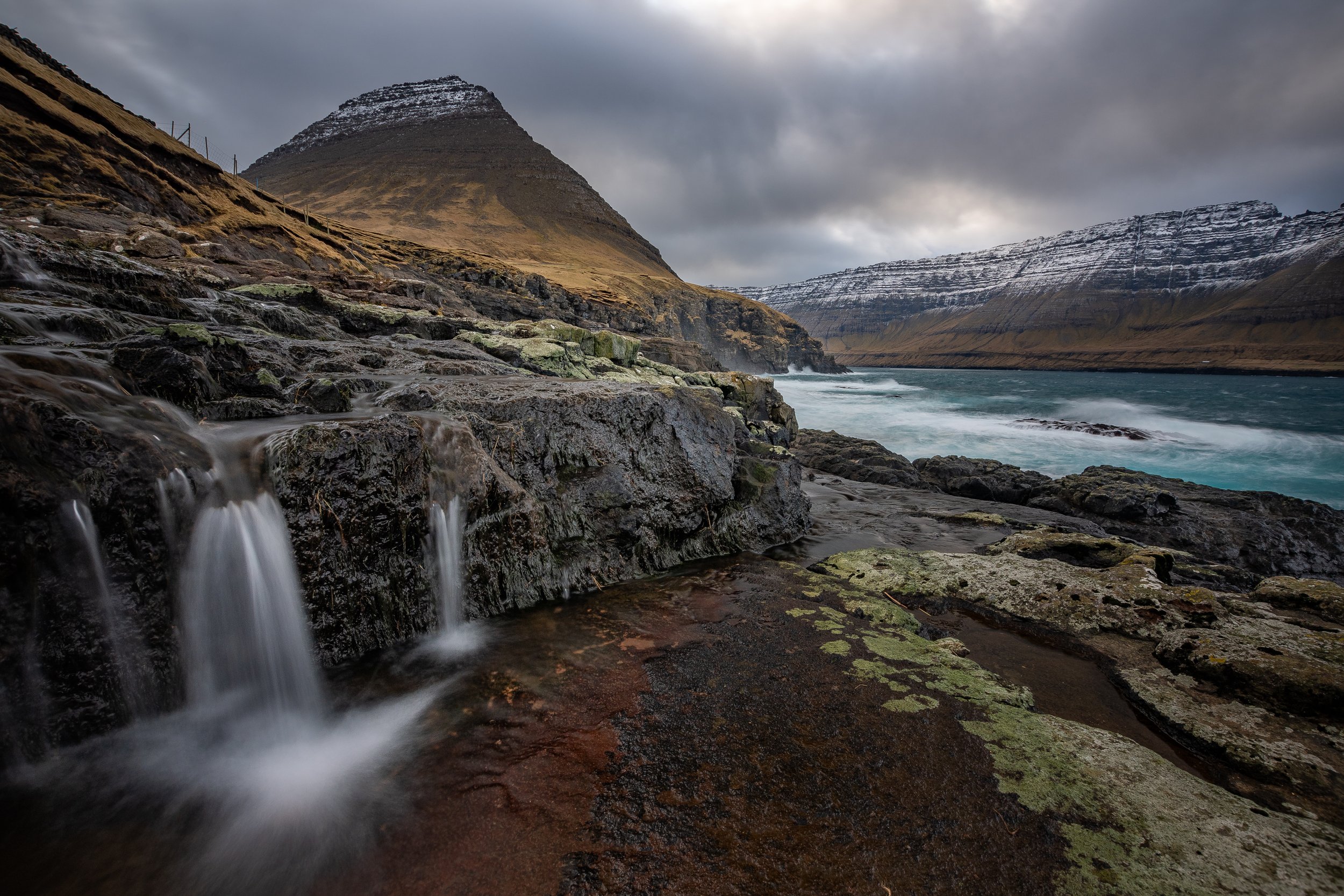
Viðareiði is a true paradise for the landscape photographer. Walk down by the church towards where the ocean waves are crashing on the rocks for some dramatic seascapes. Keep in mind though that the ocean can get very wild and rough here. Often the waves splash all the way up into town. So be sure to judge and respect the weather and conditions the right way.

Check out this drone video that I shot in Viðareiði in February 2022.


The Faroe Islands Photography Workshop and Tour - April 2023

Feeling like visiting and experiencing Viðareiði yourself? You can join my friend Páll Jökull from Iceland and myself in April 2023 on a 7 day workshop. Viðareiði is for sure part of the program, and we spend a decent amount of time here for you to capture this amazing place. Interested in the workshop?
Click the button below, and we look forward to see you in April.

Noir Flohay & Baraque Michel

A beautiful winters day in Belgium. Hiking with my dad and brother. We were just enjoying ourselves and taking it easy as we were walking towards Noir Flohay in the Baraque Michel area of the "The High Fens"

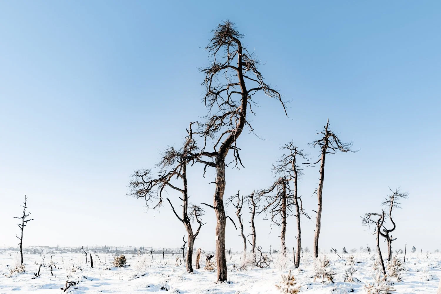
The High Fens is a nature reserve located at an altitude of 700 meters on the border of eastern Belgium and Germany. The area is characterized by, due to the high altitude, extreme rainfall. But also a lot of fog and in the winter lots of snow. An ideal area for photography. On the vast plateau you will find scattered solitary trees and groups of trees.

One of the most beautiful places on the plateau is the burnt forest Noir Flohay. Over 10 years ago, a fire destroyed this piece of forest and now there are only bare, partly blackened trees. A wonderful place to stroll around and enjoy the bizarre shapes that some trees have.

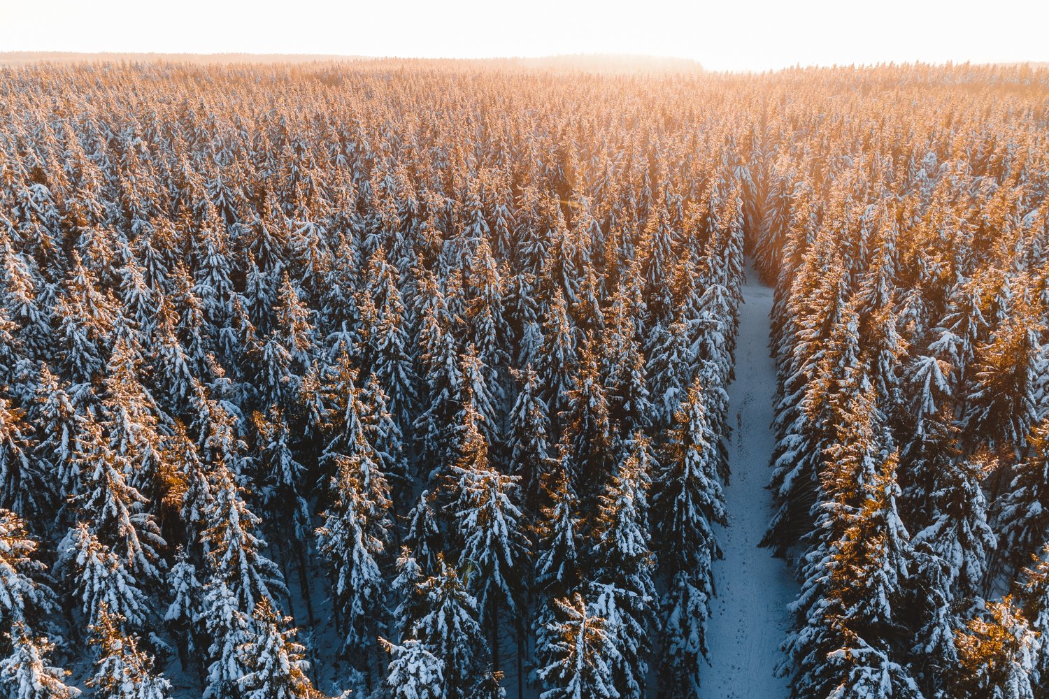
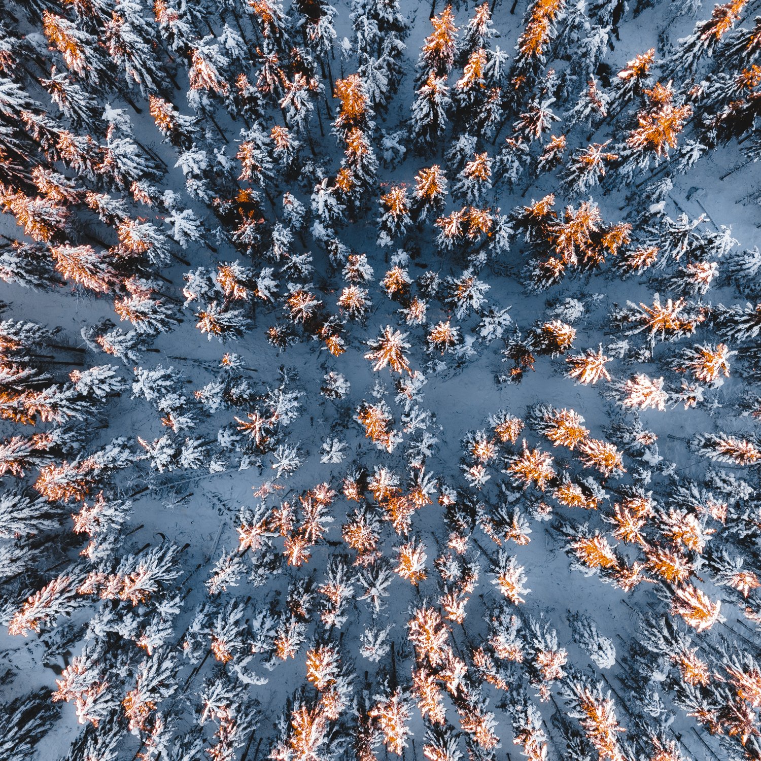
And here’s a few more drone photographs of a nearby forest. Managed to capture some of that beautiful winter afternoon light!

And why not watch this drone video footage I also managed to capture whilst spending some time here. Feel free to subscribe to my Youtube channel if you liked this video for updates on more content in the future. Thank you!

Winter has arrived

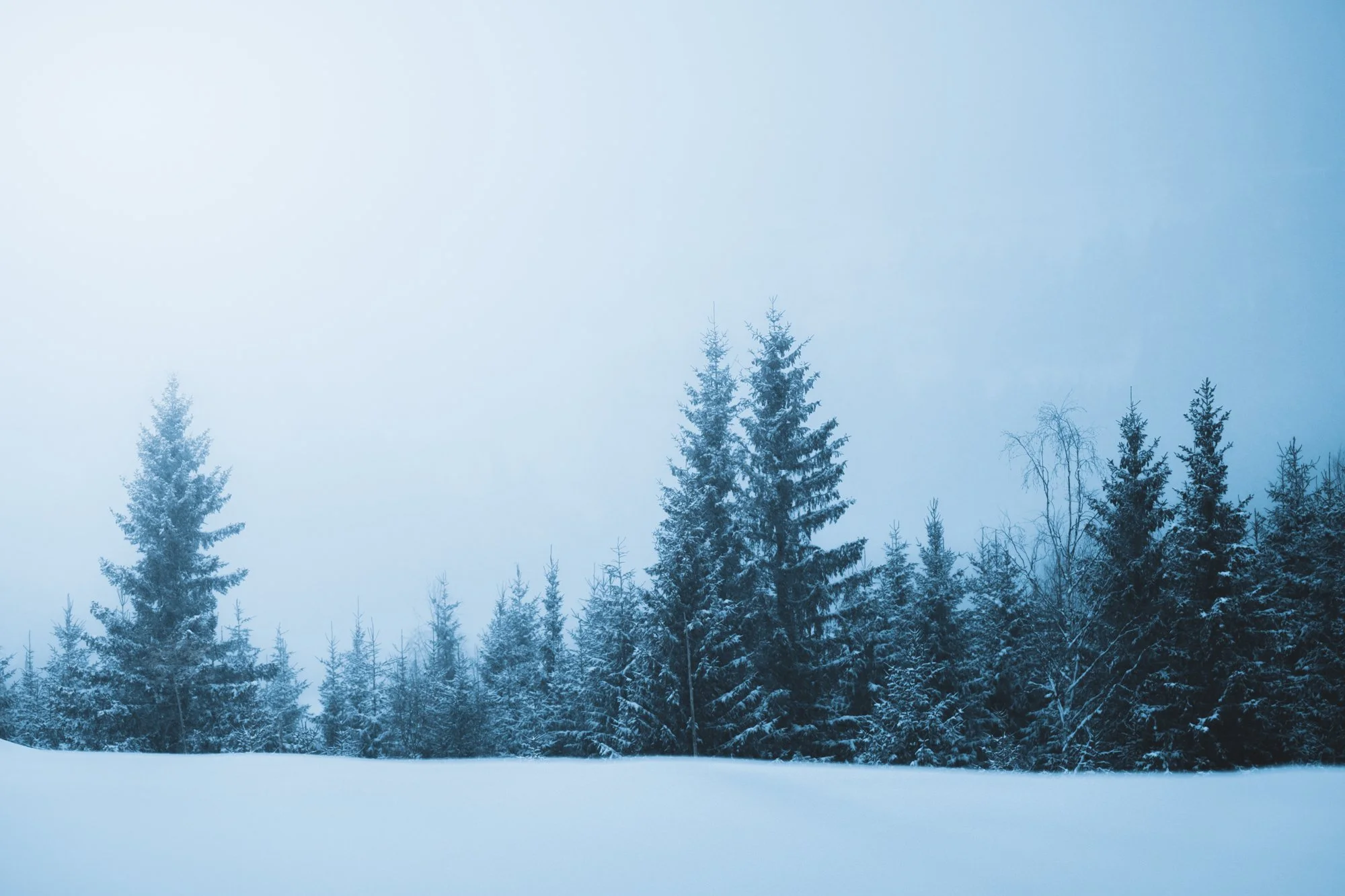
For the past couple of days it has been snowing, and we’ve been treated to some freezing temperatures. The kind of weather I love and crave, but which is sadly very exceptional over the past years. But we got lucky this winter. Winter has now arrived in full effect, in an almost “old school way”

So I was going to make the most of it, I’ve been out and about in my home area for the past few days shooting video (A new silent hiking video is coming soon) and photographs. I hope this weather will last for a little while so I can go out some more to capture some beautiful and true winter landscapes.
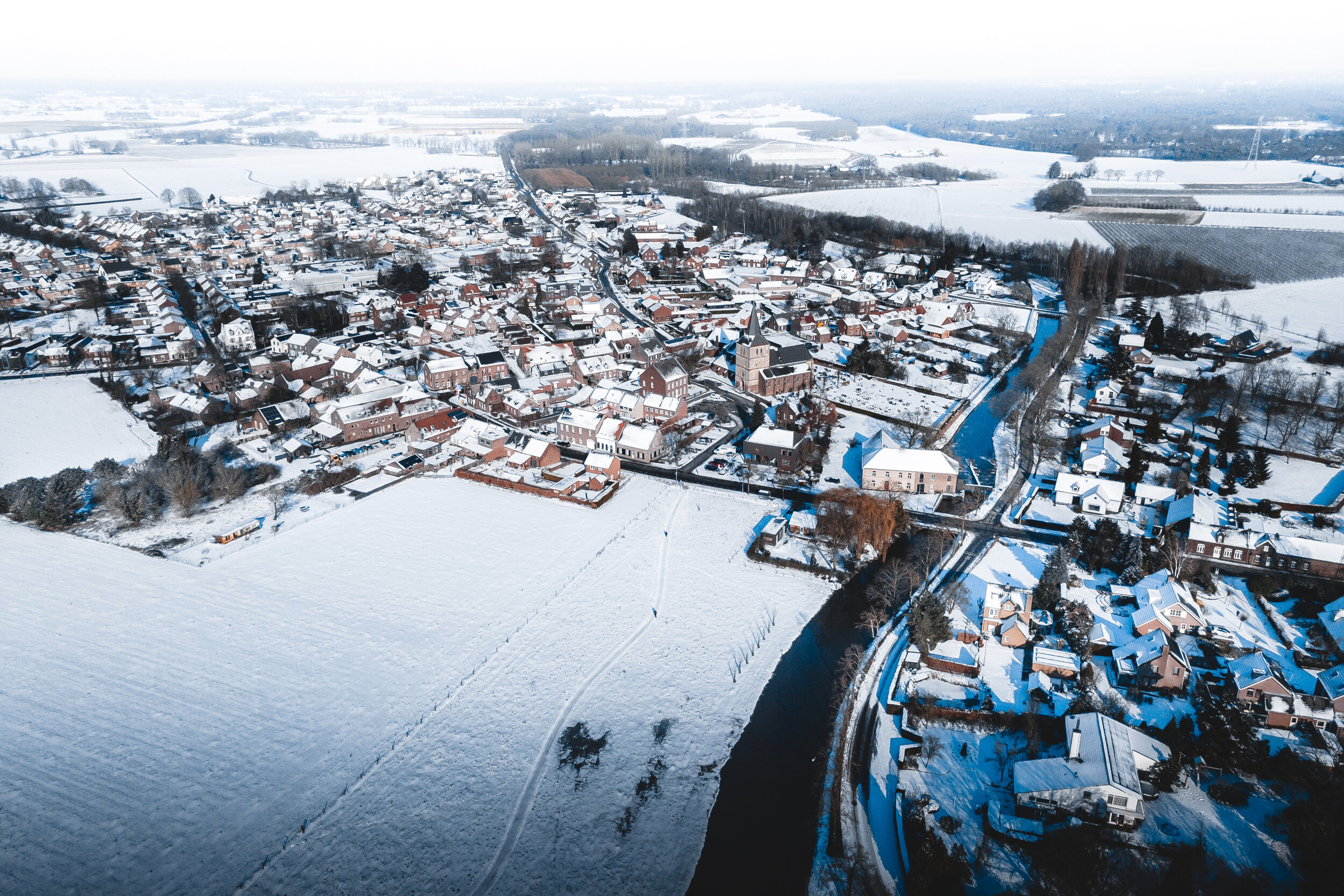
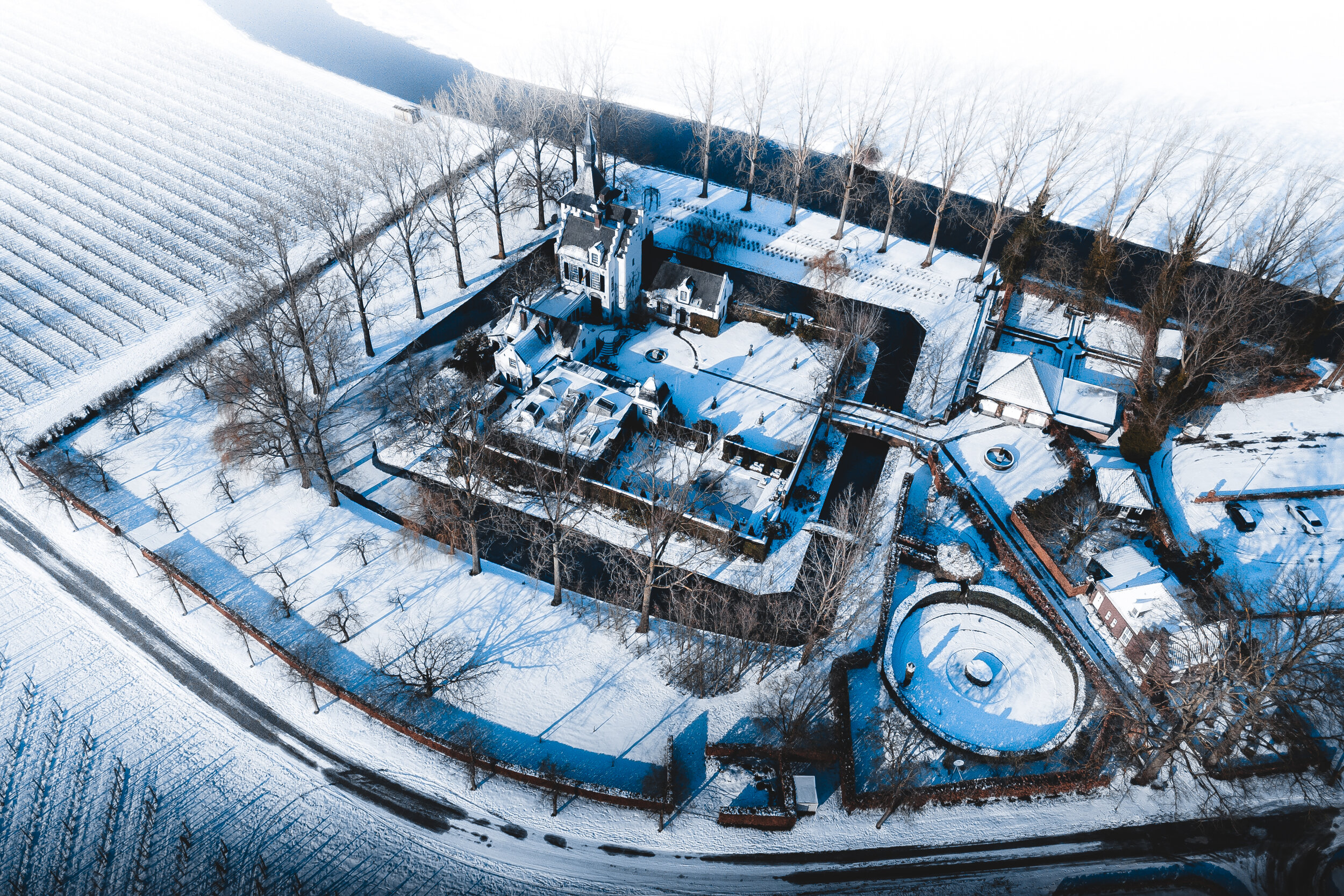
This video shows my hometown dressed in its winter coat. Amazing how differently everything looks with a fresh layer of snow. Below are some photographs I took over the past few days in my area.

Here are some drone shots of my hometown

Valahnúkamöl - Iceland

In the south of Iceland, close to the airport you can find this amazing place called Valahnúkamöl. Which is often overlooked, and therefore not visited a lot. Although I think its getting more visitors recently. During my first visit here I was the only person around. But this might be because of the weather. It was pouring down rain. These 3 images are from that first visit. July in 2018. What was supposed to be a nice summers day turned into this grey, cold and wet day. But this is Iceland. And, I don’t mind these conditions at all. I even prefer this over sunny weather.

Valahnúkamöl is an impressive place to hang out. Sea stacks and tall sea cliffs, shaped by the Atlantic ocean and its storms. To me this is one of the most amazing places in all of south Iceland. I love coming back here every time I visit Iceland. In the distance you can see the rock, called “Karl”.

There’s quite a few photo’s out there where there’s a person standing on the shore, and with “Karl” in the background. And guess what? Yes, I have that one too. My friend Þráinn Kolbeinsson from Iceland was kind enough to pose for me, as you can see on the photo below. This photo was taken during another trip. When the conditions were slightly better, but still, very very rough as you can see. Just how we landscape photographers like it.

Be sure to check out Þráinn’s work, he’s an amazing photographer located in the south of Iceland. Check out his work here: https://www.facebook.com/thrainnko

Thanks for checking out my blogpost, feel free to follow me on instagram: @dedicationphotography and subscribe to my youtube channel where I upload my travel and photography experiences every now and then.