Connection - De Groote Peel

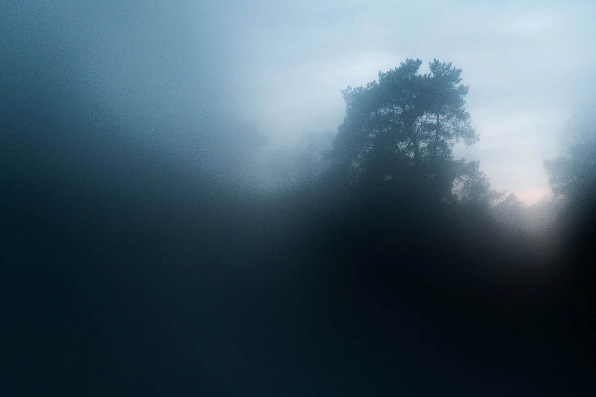
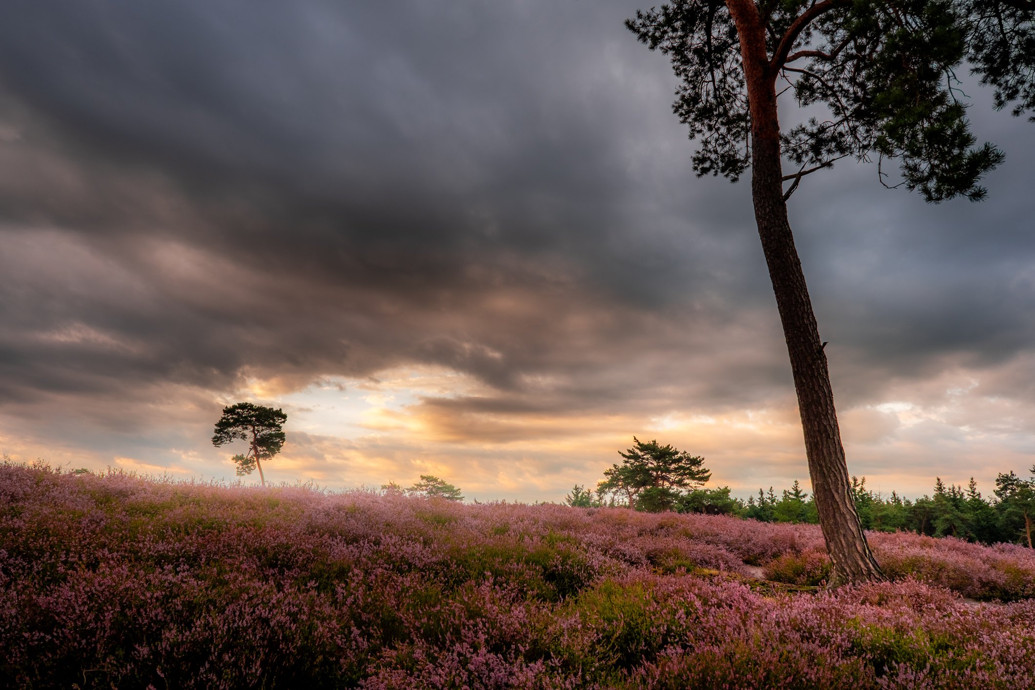
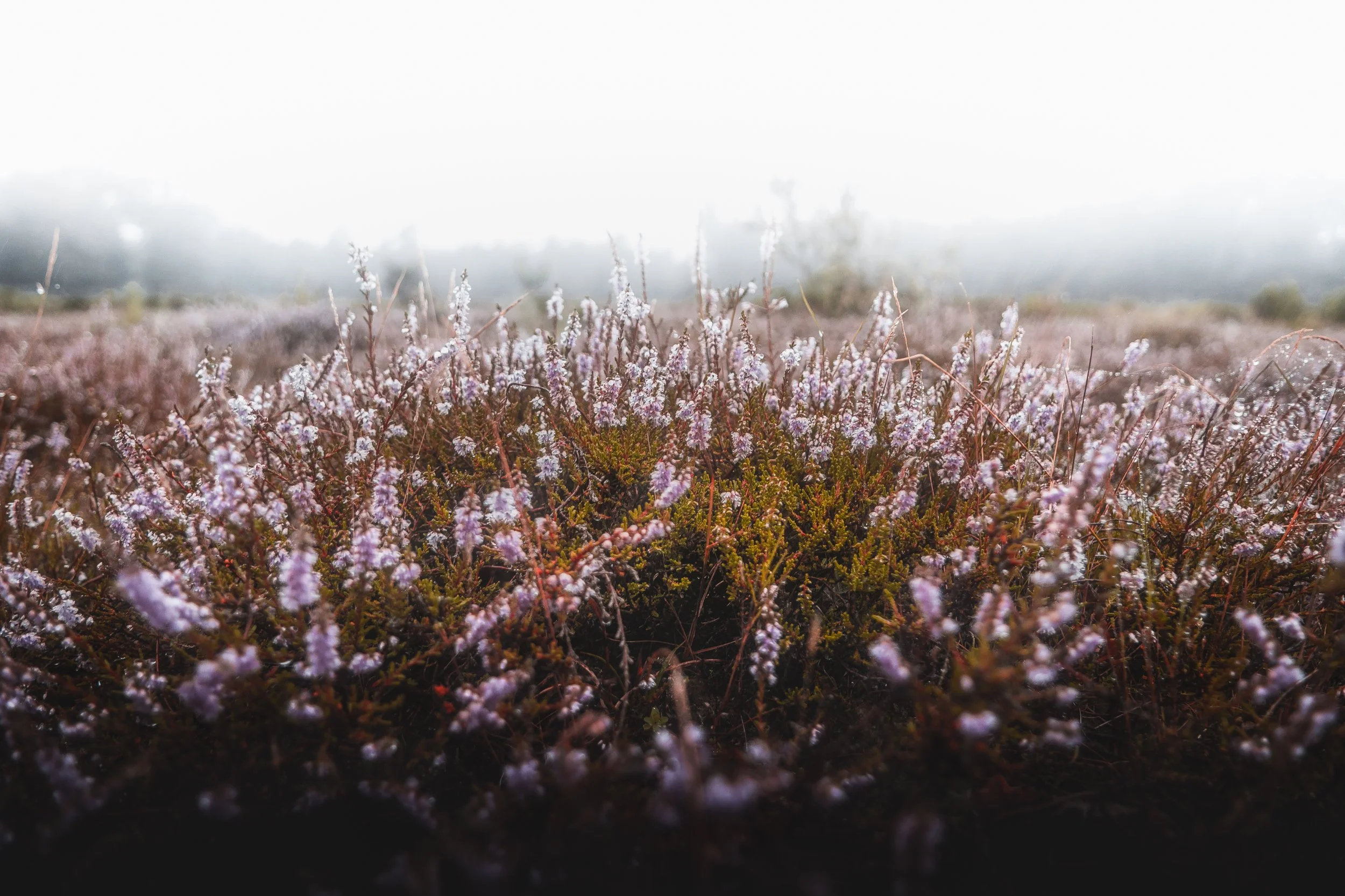
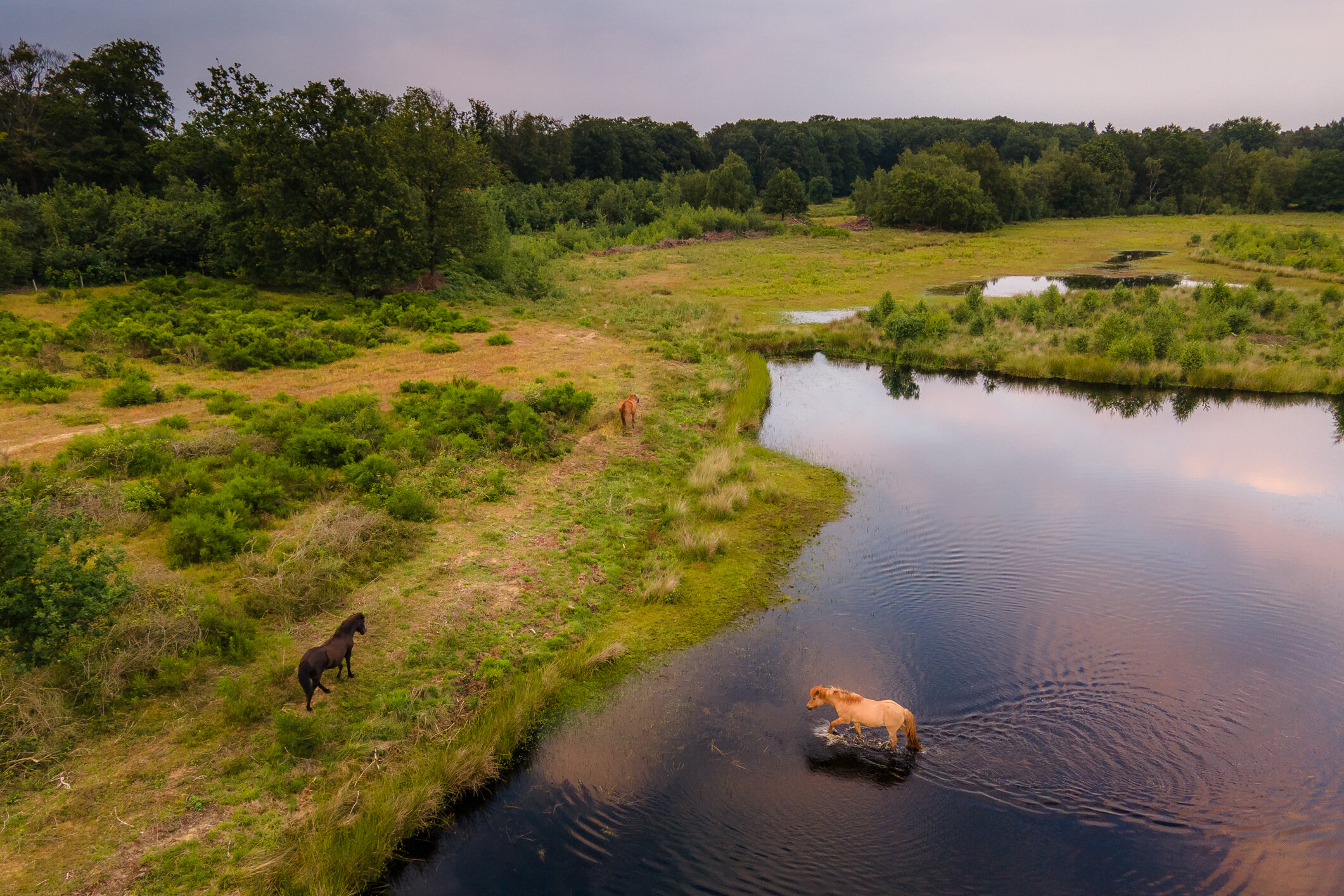
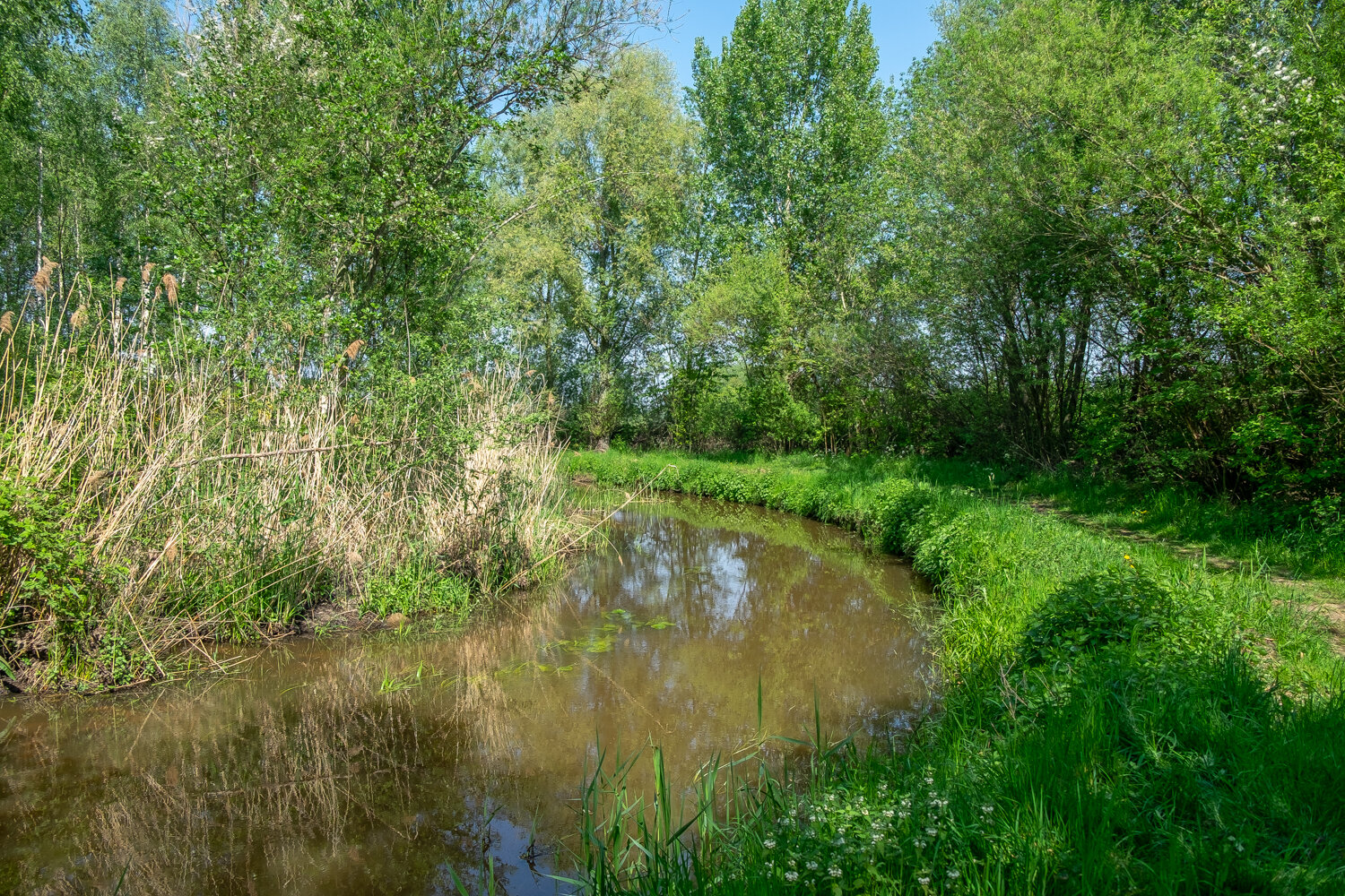
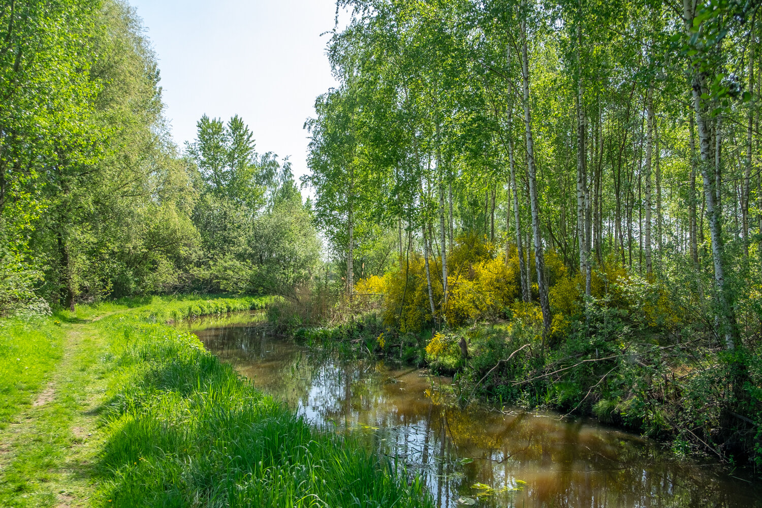
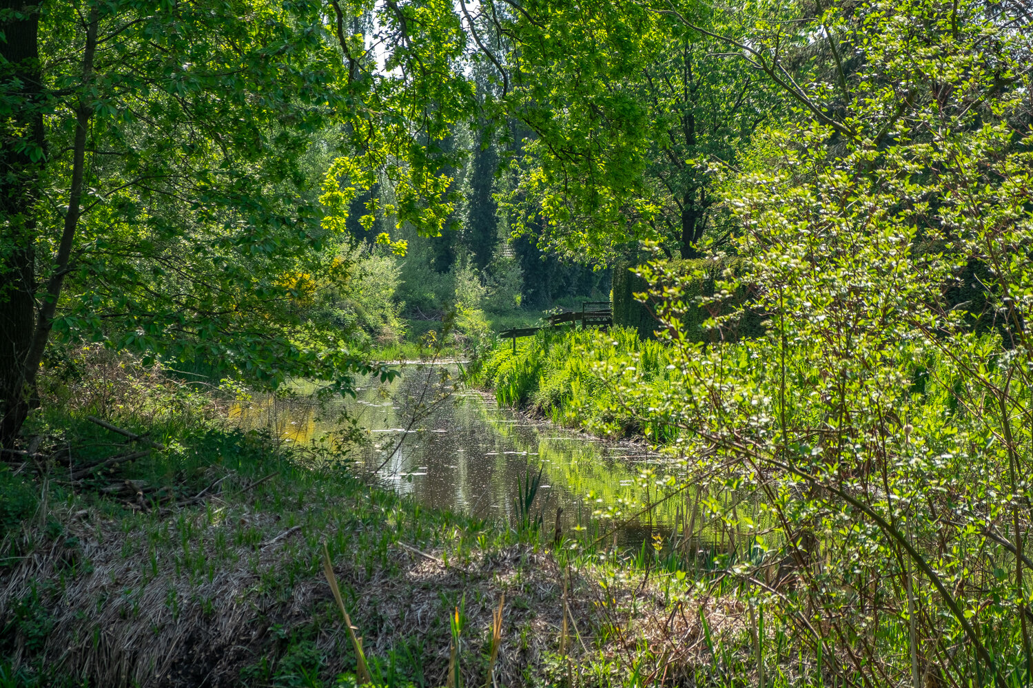
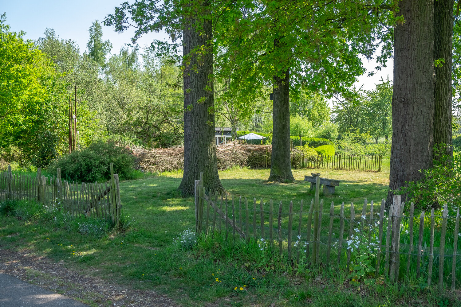
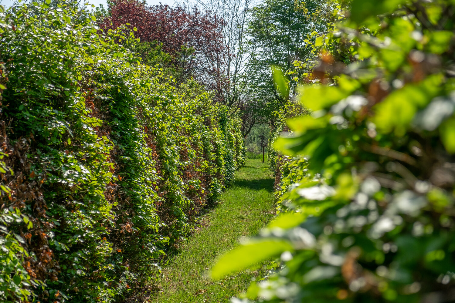
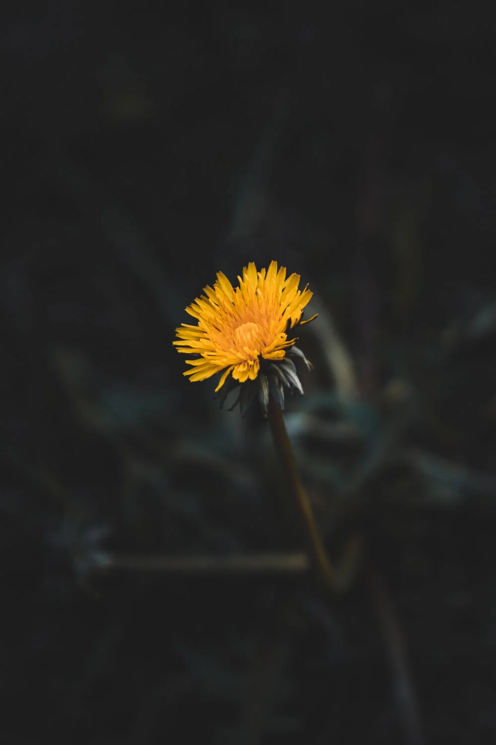
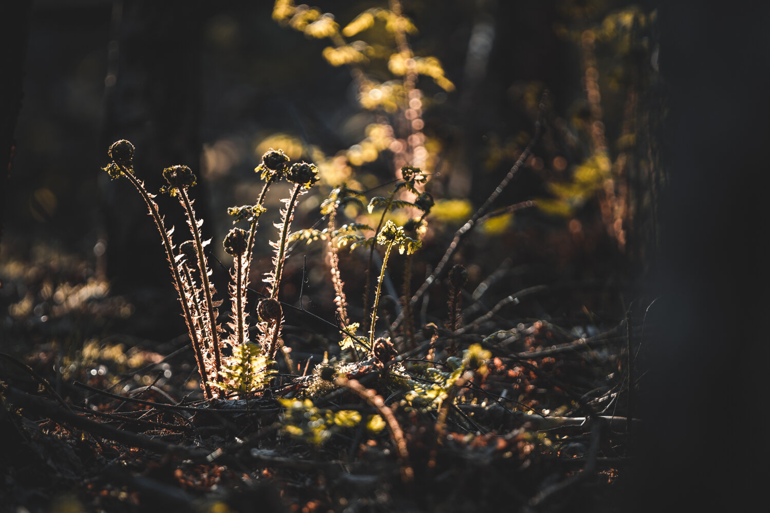
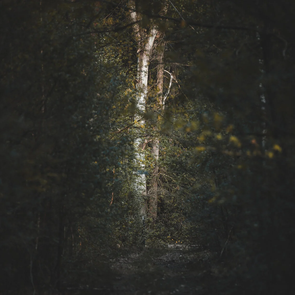
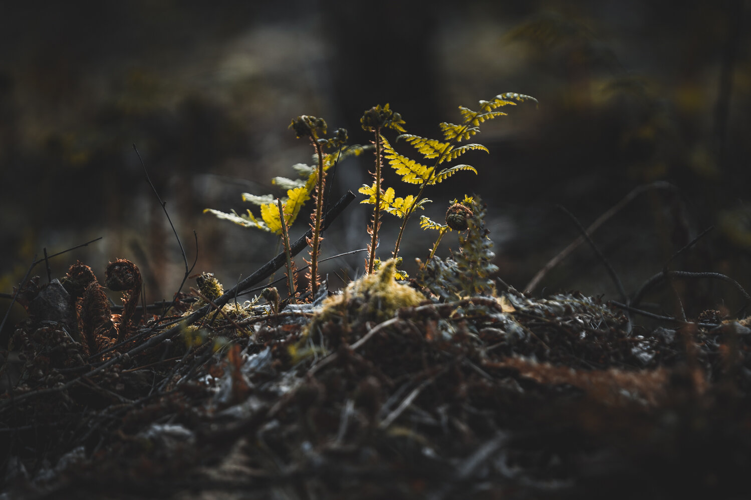
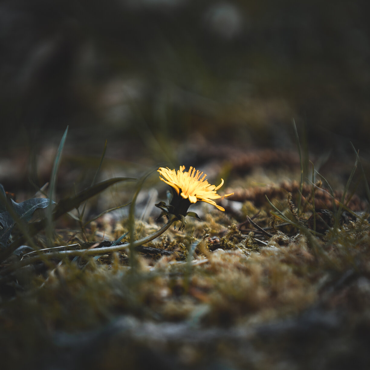
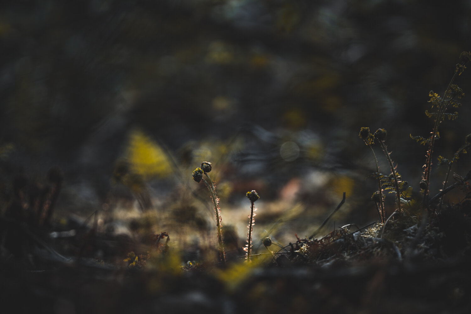
De Groote Peel is a National Park in the area that I live. It is a place I have always been drawn to. Ever since I photograph basically. So much to see, hear and feel there.

The older I get the more I feel emotionally attached to this piece of land. I have family roots in this area. This area is like a magnet, its pretty much always on my mind and radar.

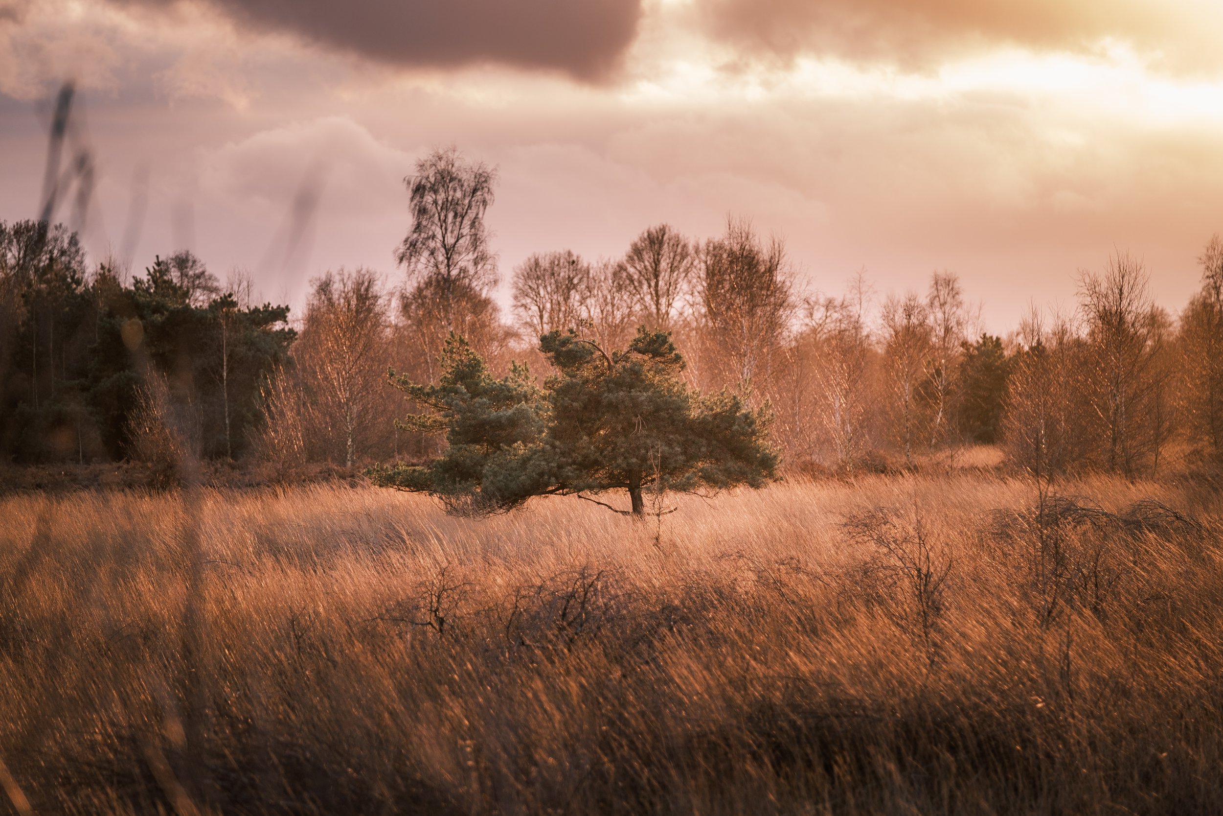
And when I visit and stroll along the tiny pathways crossing the bogs/wetlands into the distance, passing by forestland I listen to the silence. Get humbled by the clouds passing by, wind on my face, and nature setting the pace of life. It is like seeing with your eyes closed. The silence in this place is special, its louder then anywhere else. Isn't it beautiful how you can connect and ground with a place, a strip of land?

And I envision my forefathers and long gone family living here. Working and simply being part of this area. Their blood, veins, and bones are part of this. I am part of this. I am rooted here. It is my Identity.

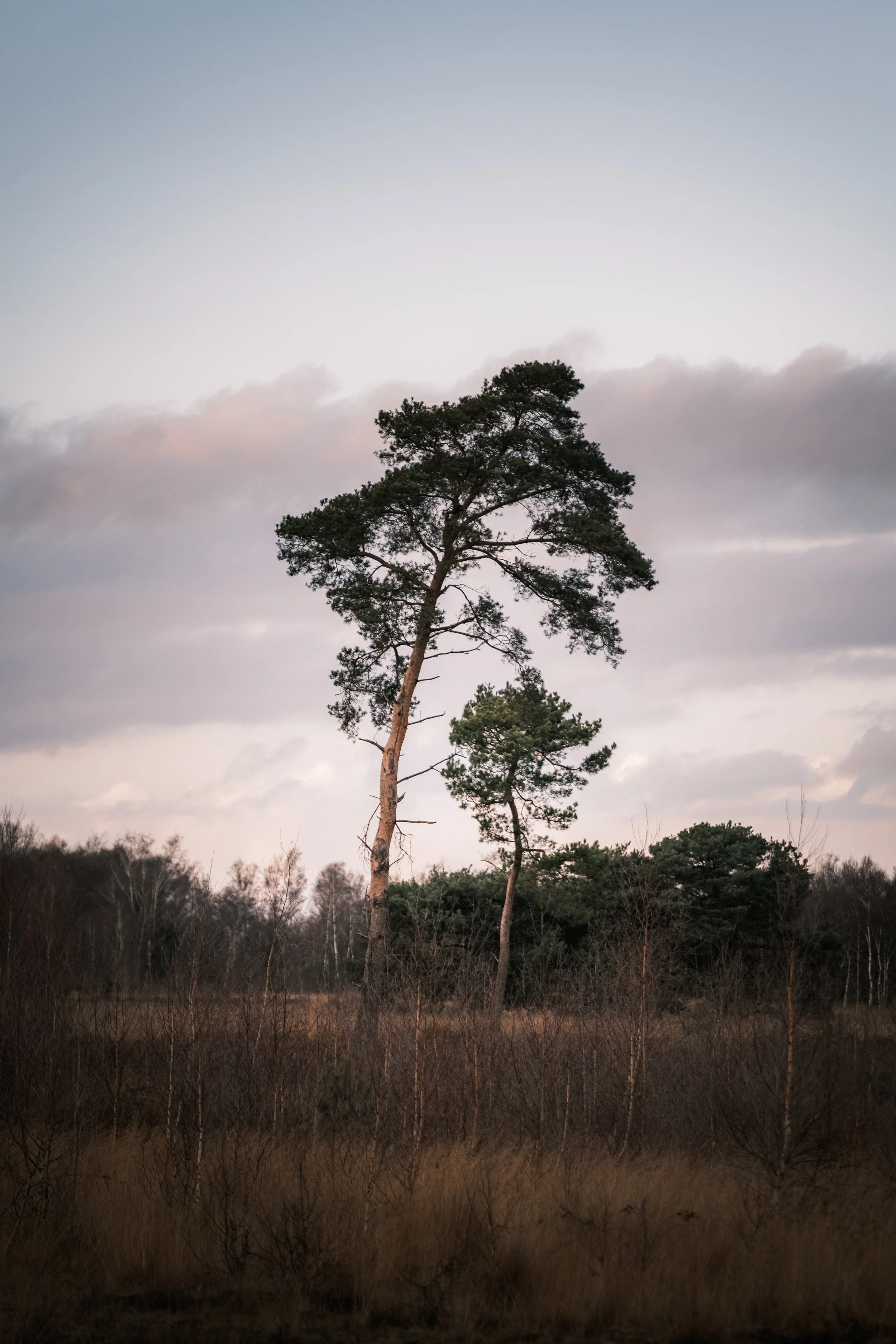
Shots taken today, on 2nd Christmas day. On a little stroll with my family. To pay tribute to who I am, and where I come from. To those who shaped and are part of me. And very much to whom I wish to be.

Wehebachtalsperre, Germany

The Wehebachdam in Germany in the municipality of Hurtgenwald is the third largest and probably the most original dam in the northern part of the Eifel. It offers hikers a variety of hiking trails and a spectacular way to experience water. It is easy to reach from the towns. The Wehebach dam has been operated since 1983 and became a building for flooding and drinking and industrial water supplies.

There are strict protection rules. For this reason some area in and around the dam are fenced off, and are not reachable at all. This means that the nature can develop undisturbed.

This is a drone photo looking north, with the water extraction tower in the bottom left.

The reservoir of the Wehebachtalsperre has three arms: in the west the valley of the red Wehebach, in the east the valley of the Wehebach (also called white Wehe) and in west-east axis the valley of the Thönbach

Before getting to the actual reservoir and dam I stumbled upon this little forest stream. Which was beautifully lit with some warm and just gorgeous light. So I did spend some time there shooting some typical long exposure shots and smoothing out the water in the forest stream.

Beautiful forest stream on the way to the reservoir/dam. Well worth a little stop.

For these long exposure photographs I have used Kase Filters. The K9 kit paired with the magnetic CPL, and a ND1000 for longer exposure times in the bright daylight. Find out more about Kase filter by clicking the logo


So after spending some time at this little stream, and after completing the hike I reached the reservoir.
A view over the barrier and parts of the lake is offered by an elevated vantage point directly at the dam. The only recreational activities allowed are hiking and cycling, as the lake is not open for water sports due to its character as a drinking water reservoir. Due to its location in a densely wooded area, the reservoir offers the opportunity for mainly ornithological nature observations.

Long exposure shot of the reservoir with the water extraction tower in it.

Another long exposure shot of the reservoir. It was quite windy, so the movement in the sky really helped getting this cool effect.

Since October 2011, a through-flow turbine with a nominal output of 0.053 MW has been operated for energy recovery. It is located in the outlet structure of the dam. With a flow rate of 100 to 200 litres per second, the annual consumption of up to 100 households can be covered

Here’s a few extra shots that I took at this beautiful spot. Nice forests surrounding this reservoir.
Again, make sure to click them to see them in their original size, and in a bigger size.

Thanks for checking out my blogpost, hope to see you around for me next one. That will be online in a few days. And is dedicated to a special place in Iceland.

Thank you!

Dalheim, and I am now a Kase Filters Ambassador!

Dalheim

Today I went out for a little trip in Germany. Packed with my camera, some filters and my drone and I headed out to Dalheim. This place is located directly on the German/Dutch border and is beautiful. It has some beautiful forests, marshland, a little lake and a small stream running through the forest. There is also a watermill. The Dalheimer Mühle.

Krebsbach, the lake by the watermill.

Some more information and background about the watermill. The Dalheim mill was mentioned for the first time in a document from 1231 and could therefore be the oldest water mill between the Meuse and the Rhine.

During secularisation in 1802, Napoleon destroyed the monastery. The farm buildings of the monastery were not destroyed. When the monastery was sold around 1806, the mill went to the Schippers and Zardingen families from Dülken. In 1899 it was resold to the Count of Schaesberg-Tannheim.

1999 to the present day: The Willemsen family bought the Dalheimer Mühle after it burned to the ground.After almost ten years of renovation work, the Dalheim Mill was reopened in September 2008. Today the mill offers more than 150 seats on the outside terrace and another 110 seats inside.

Dalheimer Mühle. A beautifull watermill.

There’s some beautiful forest in the area, perfect for a wander and a stroll

There’s some beautiful forest in the area, perfect for a wander and a stroll

Dalheim is just so pretty. The perfect place to wind down, escape your everyday life for a bit. And enjoy nature. The watermill is now a restaurant, so you can enjoy a nice meal at the end of your day. Looking out over this pretty lake. Please watch this video I shot in Dalheim below. It has some nice drone shots, and shows off the area really well.


Kase Filters Benelux - brand Ambassador

It is with great pride and a lot of excitement to announce that I am now a Kase Filter Benelux brand ambassador. I’ve been using Kase filters myself for the past 1,5 year and ever since day one I’ve loved the quality and ease of use of these professional filters. I am very much looking forward to represent this great brand, and work together with all other talented ambassadors.

Kase is a fast growing worldwide filter brand with professional filters that guarantee excellent quality. Especially landscape photographers who are on the road a lot will have a pleasant experience with Kase. The filters are made of High Defenition glass that ensures an unprecedented clear image. Because with the Kase Wolverine filters the glass is also toughened, it can take a beating and you will never suffer from scratches or other damage.

My workshop participants will be able to get a nice discount on any Kase products with a special code that I as Ambassador will hand out.

Click the logo to go to the webstore (in Dutch)

Colours that deviate because you use a filter? Not with Kase. The ND filters give you optimal colour control, so that all colours come into their own in your photos. The Nanotech coating on the Kase filters prevents unwanted reflections and repels water and oil. This way, the filter is easy to keep clean. Translated with www.DeepL.com/Translator (free version)

Grathem: Het Puinebrug Ommetje

Grathem is a village in the Dutch province of Limburg. It is located in the municipality of Leudal, about 10 km west of Roermond. Around 1700 people live in Grathem, and I am one of those. I have moved to Grathem with my wife, back in 2012. So Grathem is my hometown for 8 years now.

In these 8 years I have really grown fond of this beautiful little village. It is small, super quiet and not busy with traffic at all. It is that classis small rural village. In and around Grathem there’s beautiful nature. In summer there’s some tourism, and there’s a popular cycling route going through town. So, expect some people out and about in the summer months. Other than that, it is quiet, peaceful and again… that typical tiny village surrounded by lots of nature.

FUJI2150.jpg

The year is 2020, and the world is on lockdown due to the Covid-19 situation. Therefore I am not travelling right now, and I have a lot of “stay at home time” ahead of me still. The weather is nice, spring has arrived. So this is the perfect time to photograph and showcase my hometown, and my local area.

I have documented this walking route called “Het Puinebrug Ommetje” that goes through parts of Grathem, and takes you through some beautiful nature. I will take you through the walk step by step and frame by frame. Let’s take a virtual trip right?


1. This is the map of the route, we are are going to walk the blue route, “Het Puinebrug Ommetje”

2. This is your starting point. “Markt” basically the main square, or downtown

3. From the market square you start walking south, onto the Dorpstraat

4. You will come across this small chapel, called the “Heilig Hart Kapel” built in 1922

5. We will make a left turn by the chapel, to head onto the street called “Gulden Eind”

6. We will pass ”Biej Smidje” the only store and supermarket in the village

7. We will continue walking down “Gulden Eind”

9. After we have passed the “Beekstraat” we are now on a small bridge called the “Puinebrug” and we can see the “Uffelsebaek” for the first time.

8. Looking right whilst on “Gulden Eind” we see the “Beekstraat”

10. Looking south whilst on the “Puinebrug” we can see a glimpse of the St. Severinuschurch (12th Century)

"Puinebrök"
The bridge between the Gulden Eind and the Beeklaan is known in the village under the name "Puinebrök"
It owes its name to the time when the crossing over the stream still consisted of wooden beams. Weather conditions created space between the beams with the result that farmers got stuck in them with their horse-drawn carriages. In order to remedy this problem, "puine" (plags) were laid over the beams. That's the origin of the name for this bridge.

11. After taking the “Puinebrök” crossing the “Uffelsebaek” we turn left, and we see the St. Severinus Chapel (1976)

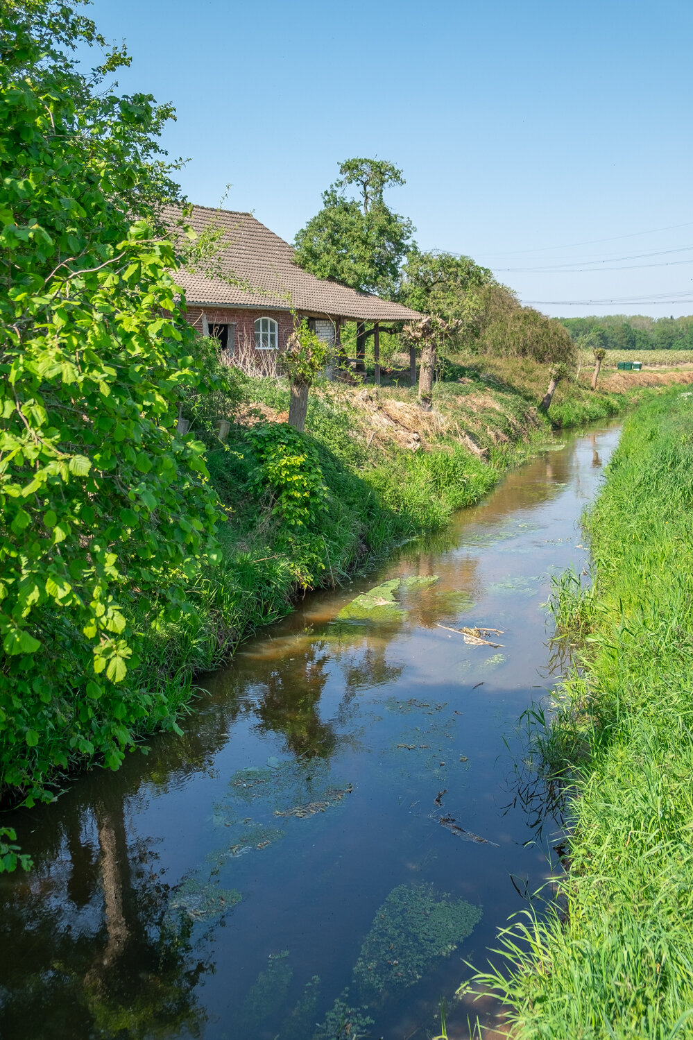
12. When we have passed the Chapel, we make another left turn, away from the bigger dirt road, onto the smaller one, that goes right next to the “Uffelsebaek”

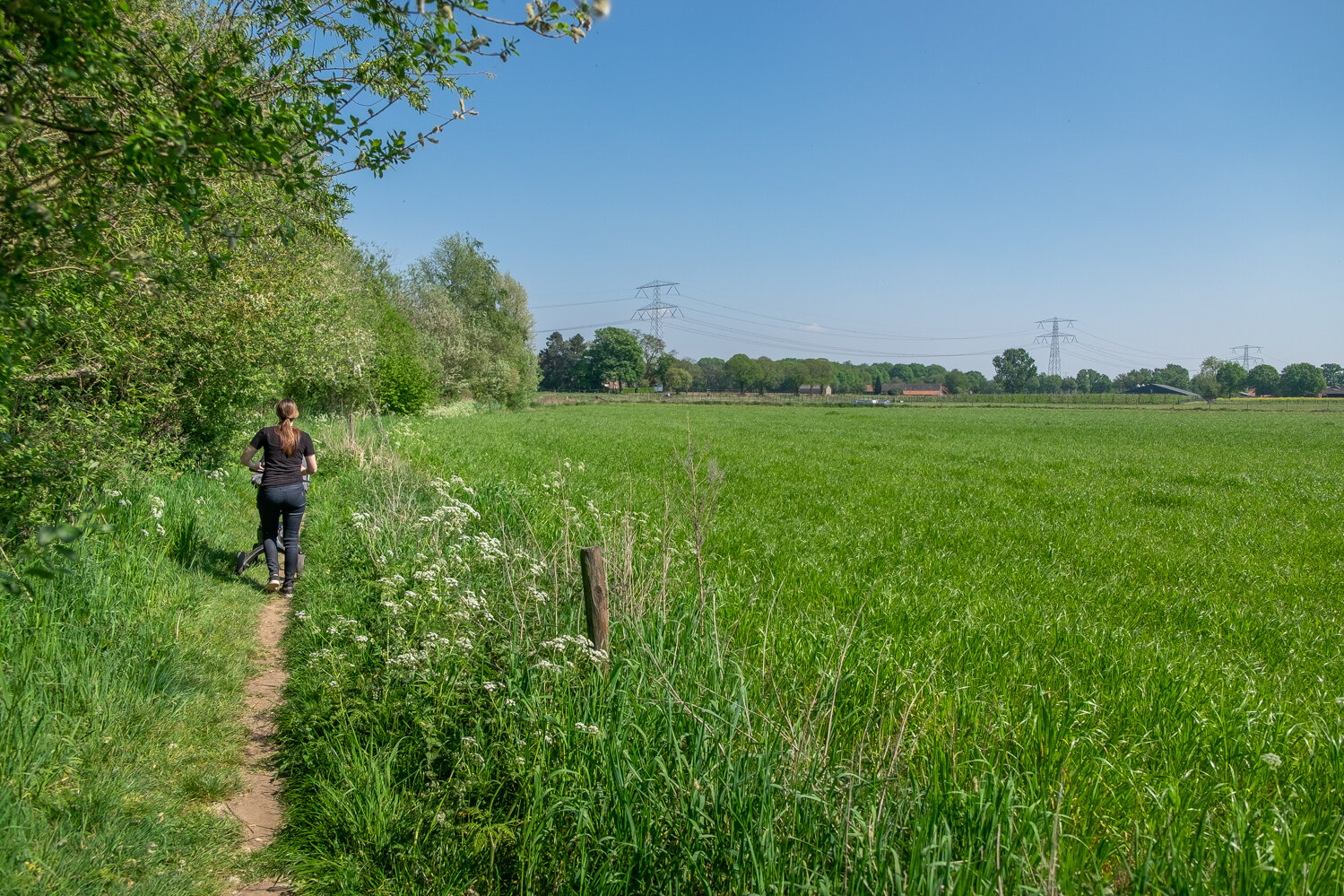
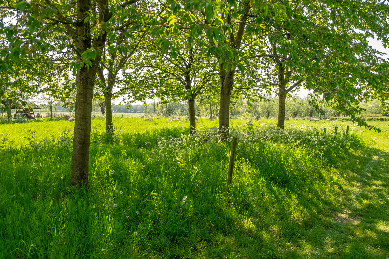
13. Next up is a bunch of shots of the beautiful nature you will be seeing, walking next to the “Uffelsebaek” just keep following the path, and you will come to a place where the trees make room for a nice and open view, out over the fields.

14. After a while you will see another bridge crossing the “Uffelsebaek”

15. We are now crossing this bridge over The “Uffelsebaek”

“Kapittelsbos”
When you have crossed this bridge you will walk past the garden of Kapittelsbos.
Kapittelsbos in Grathem has been in the hands of Jackie's (the current owner) great-grandparents since 1905. From a mixed farm it has been transformed into a recreational and cultural farm for meetings and holidays.

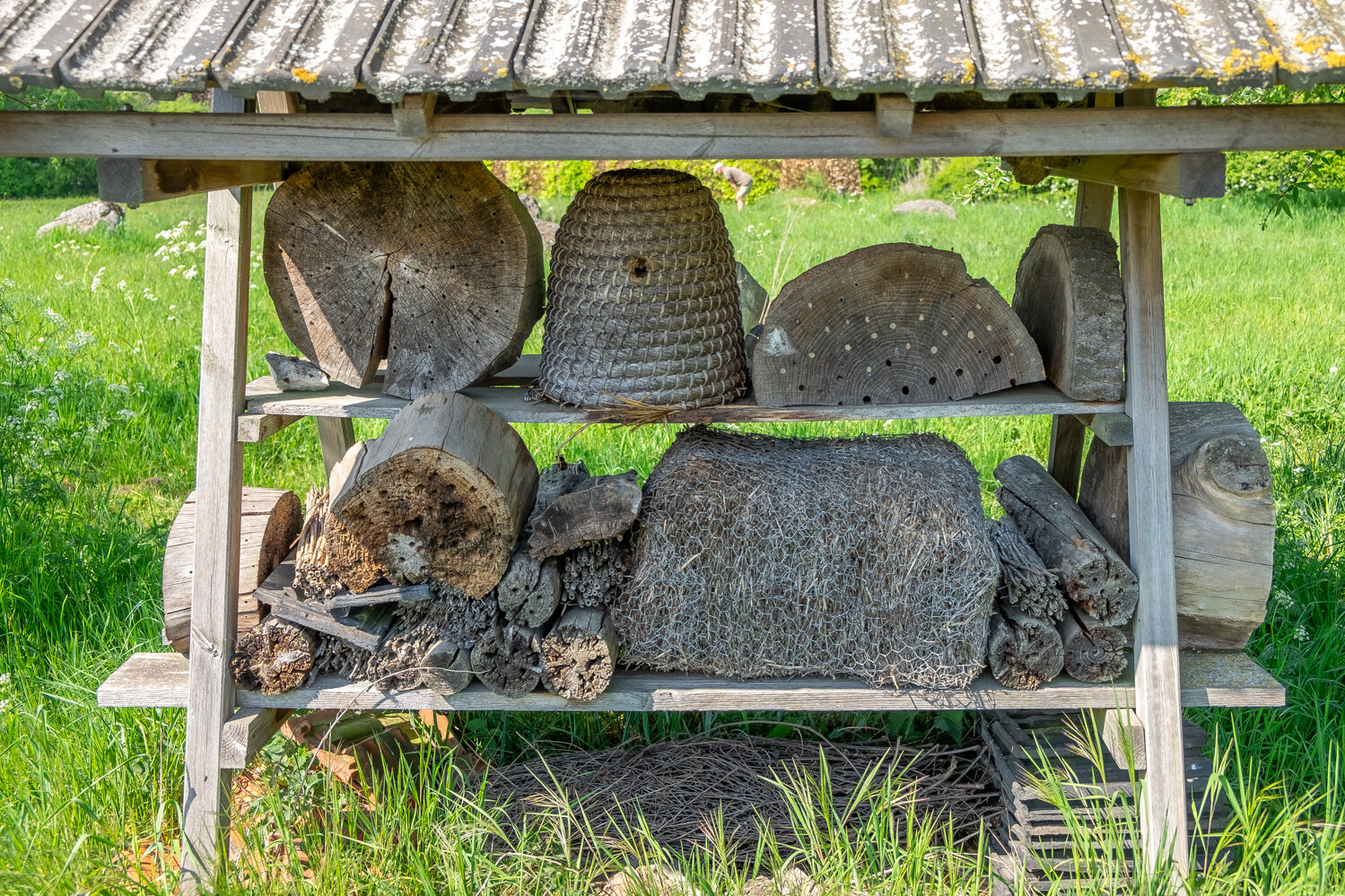
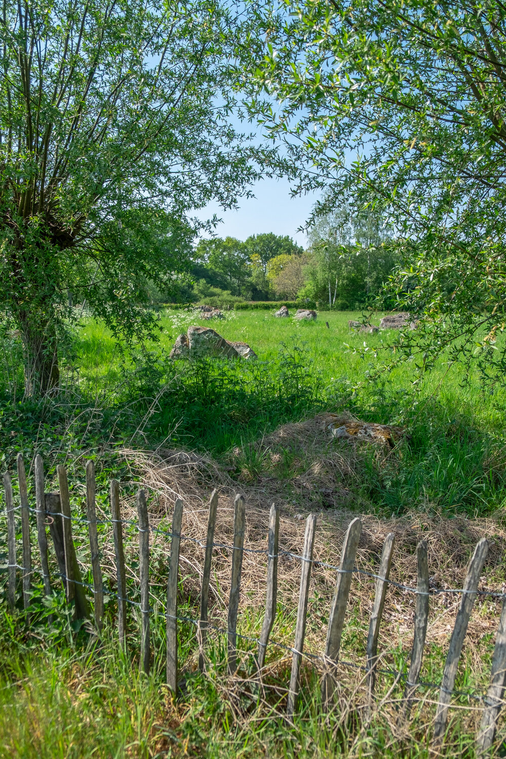
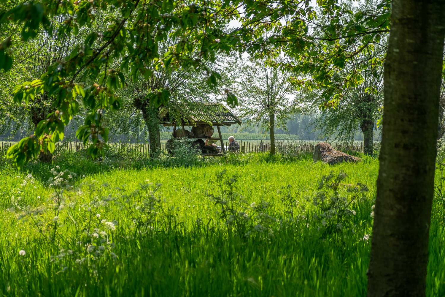
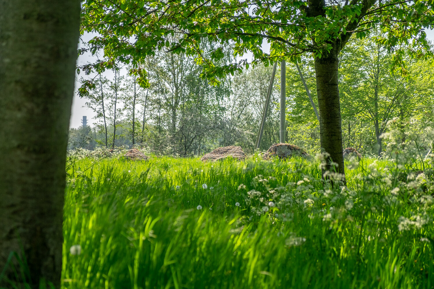
The boulders of Maiella (Italy) have been in this garden of the Uffelse and Haelen brook valleys since 2006. (Click on the photo’s below to get a better look at them) A kingfisher regularly appears here in this typical Leudal stream valley. The beaver is also active on the water's edge. A regional beekeeper places his bee colonies in the garden. The insect hotel attracts solitary bees and other insects and reptiles.

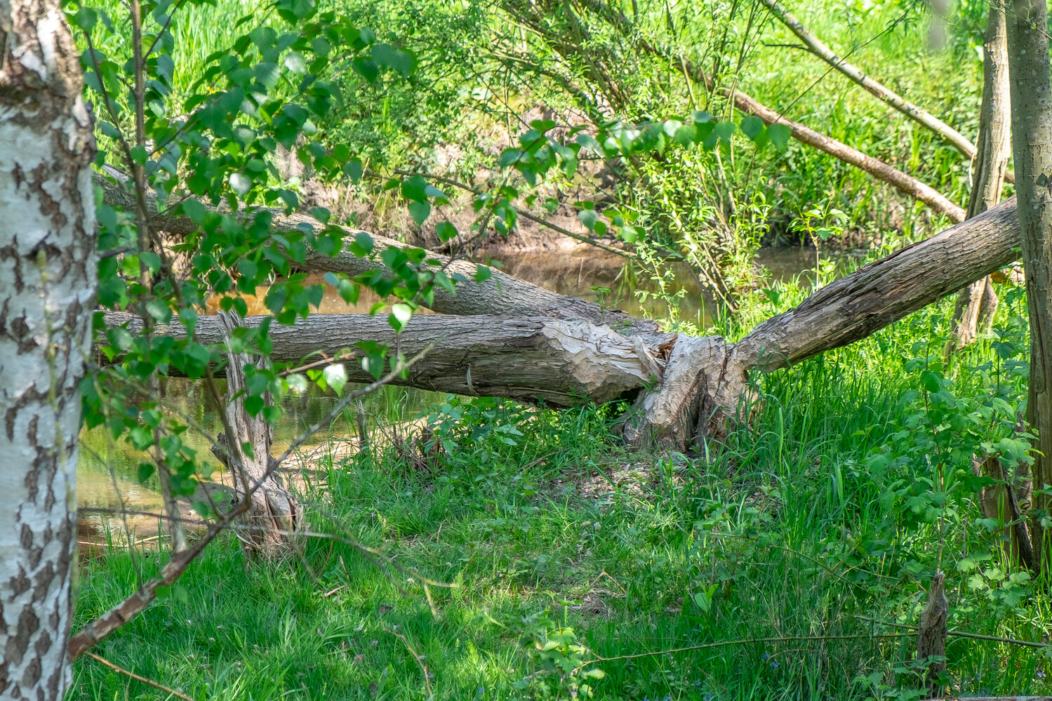
At the end of December 2013 there were two beaver castles/lodges under construction at the Uffelse Beek along the detour through Grathem. In the summer there is a chance to spot a beaver, especially at sunset and in silence!

16. We are continuing our walk…

17. Beautiful little painting like scene’s all around

18. We are about to enter the village again…

19. Just before entering town, is where we say goodbye to the “Uffelsebaek” as it makes a left turn, and we keep on the main road.

20. After entering the village again, you make a right turn and you completed your walk! You have reached the “Markt” again, the starting point of “Het Puinebrug Ommetje” the market square is a perfect place to park your cars, rest on the benches, or sit down with a cup of coffee before or after your walk through this beautiful village and natural area.

Here you can see the route, starting and ending at the Market Square, and leading you out of town, over the “Puinebrök” and where it takes you next to the “Uffelsebaek" and past “Kapittelsbos”

Thank you for joining me on this virtual tour, I hope you enjoyed it, and if you are ever in the area, let me know… and I will take you around. We can do this little tour together (when times allow for it again) If you enjoyed this blogpost, a like, comment and share is very much appreciated.

See you in Grathem!

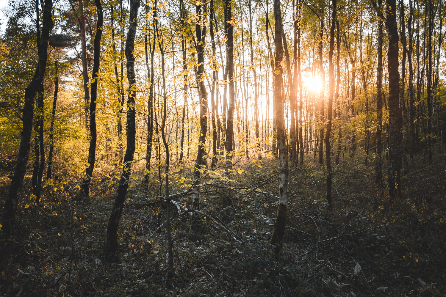
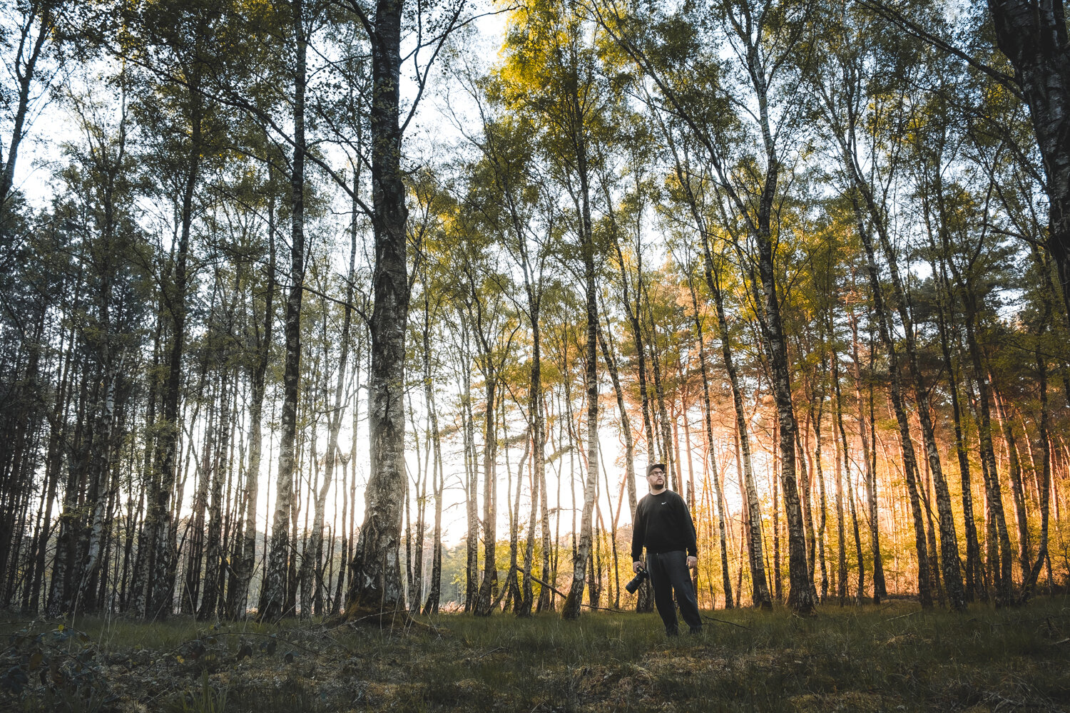
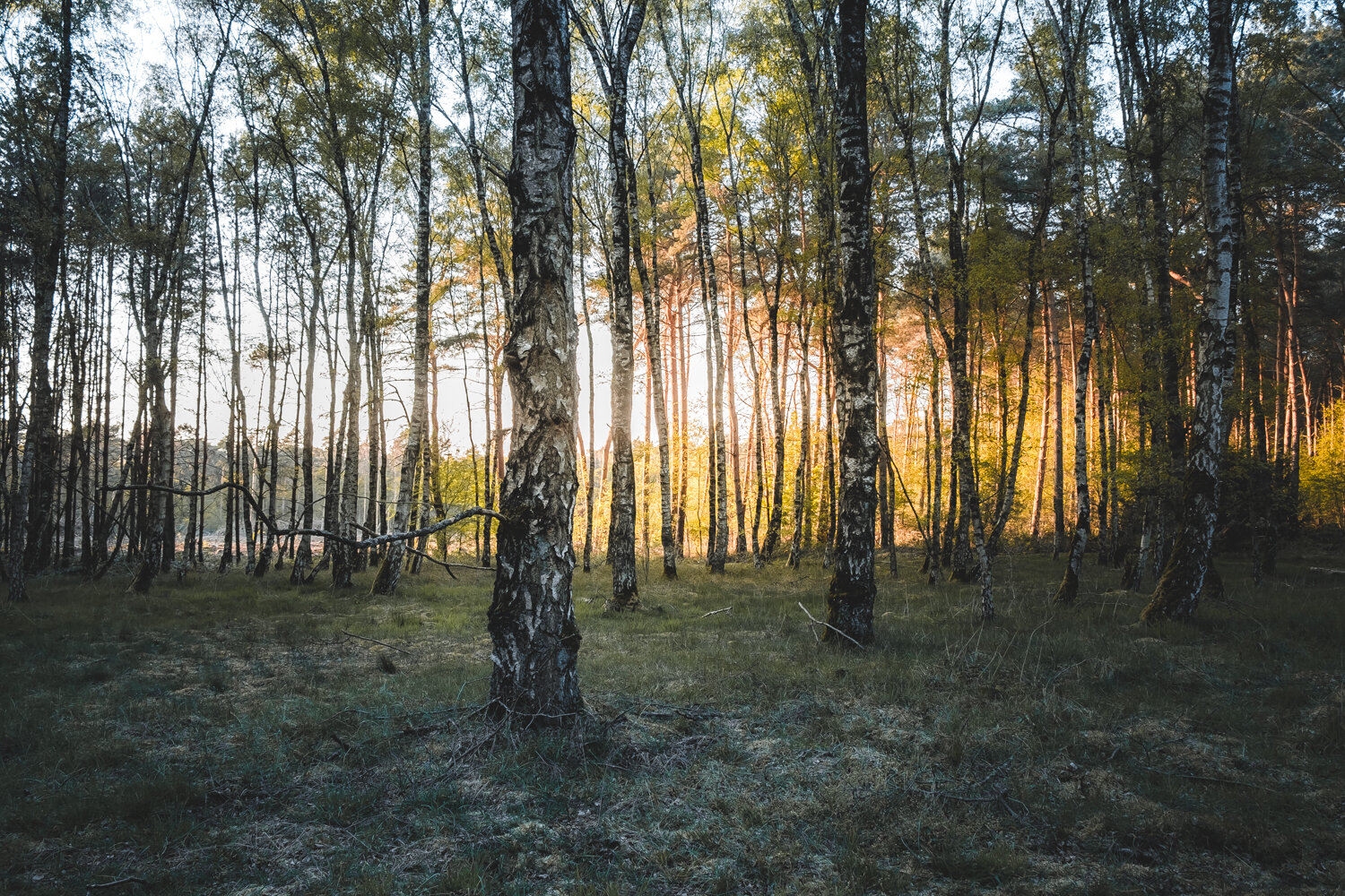
Out in the forest...

I think you all know that feeling... The desire to go out. Explore, be in nature, and breathe free. Of course in these times we all live in now that feeling might be stronger then ever. And this feeling needs to be fed, satisfied. In order to stay happy, recharge your batteries and so on. But even without taking our current situation into consideration, that feeling can just pop up anyways. And all the time.

Tonight I had a severe case of “the forest is calling” hit me. So, I just gave into that feeling. Grabbed some of my photography gear jumped in the car and off I went. Down towards one of the forest around my hometown. I am lucky, I live in an area where there are plenty of forests around.

In this blogpost you will see the results of tonight’s session in the forest. One that was not different then others in many ways. But special in its own right. The forest is where I need to be, it soothes my soul. Enjoy checking out my images, and thank you for visiting my website!

This next shot down below was a particularly nice photo to take. This is a manual focus shot. Where I zoomed in all the way on the lcd screen on the back of the camera. And manually dialed in the focus. To make sure that it was perfect. The result came out really good. With that nice foreground blur to lead your eye straight down the entire forest path. Shot on my 70-200mm F2.8 at 200mm