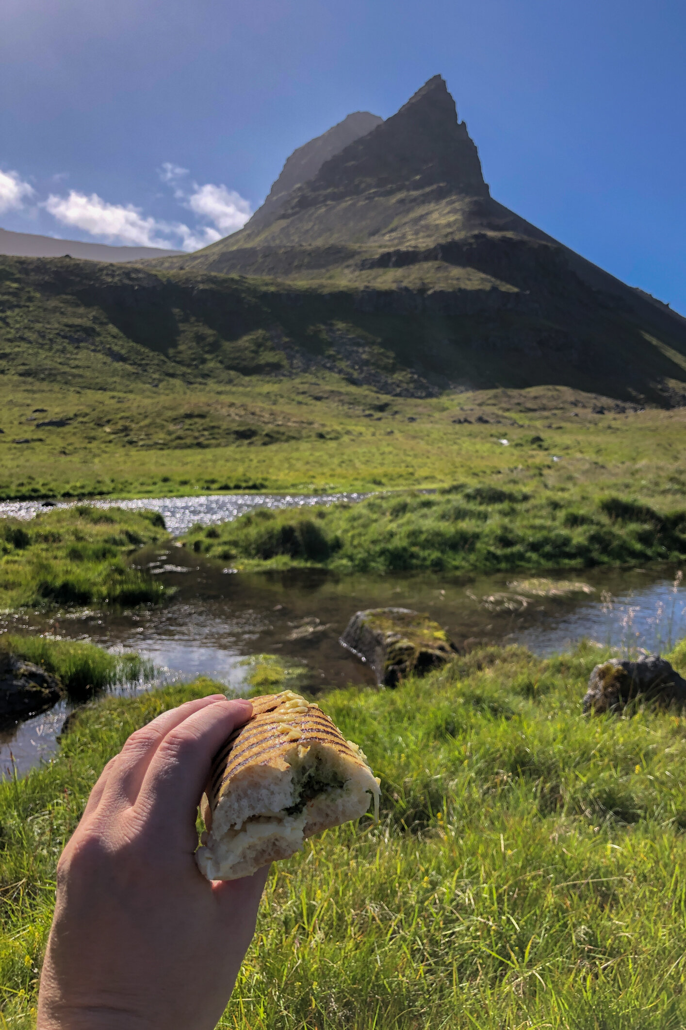
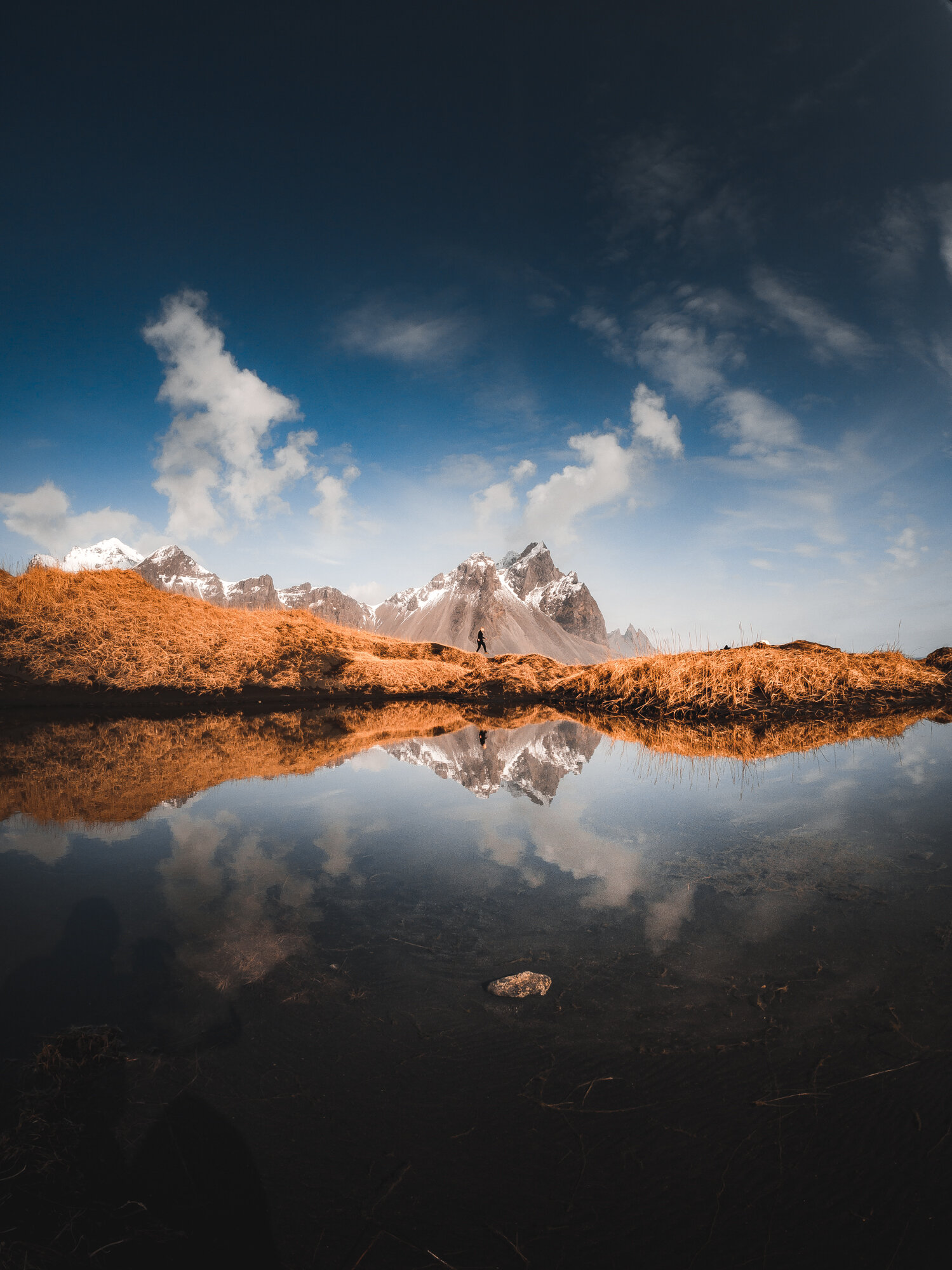
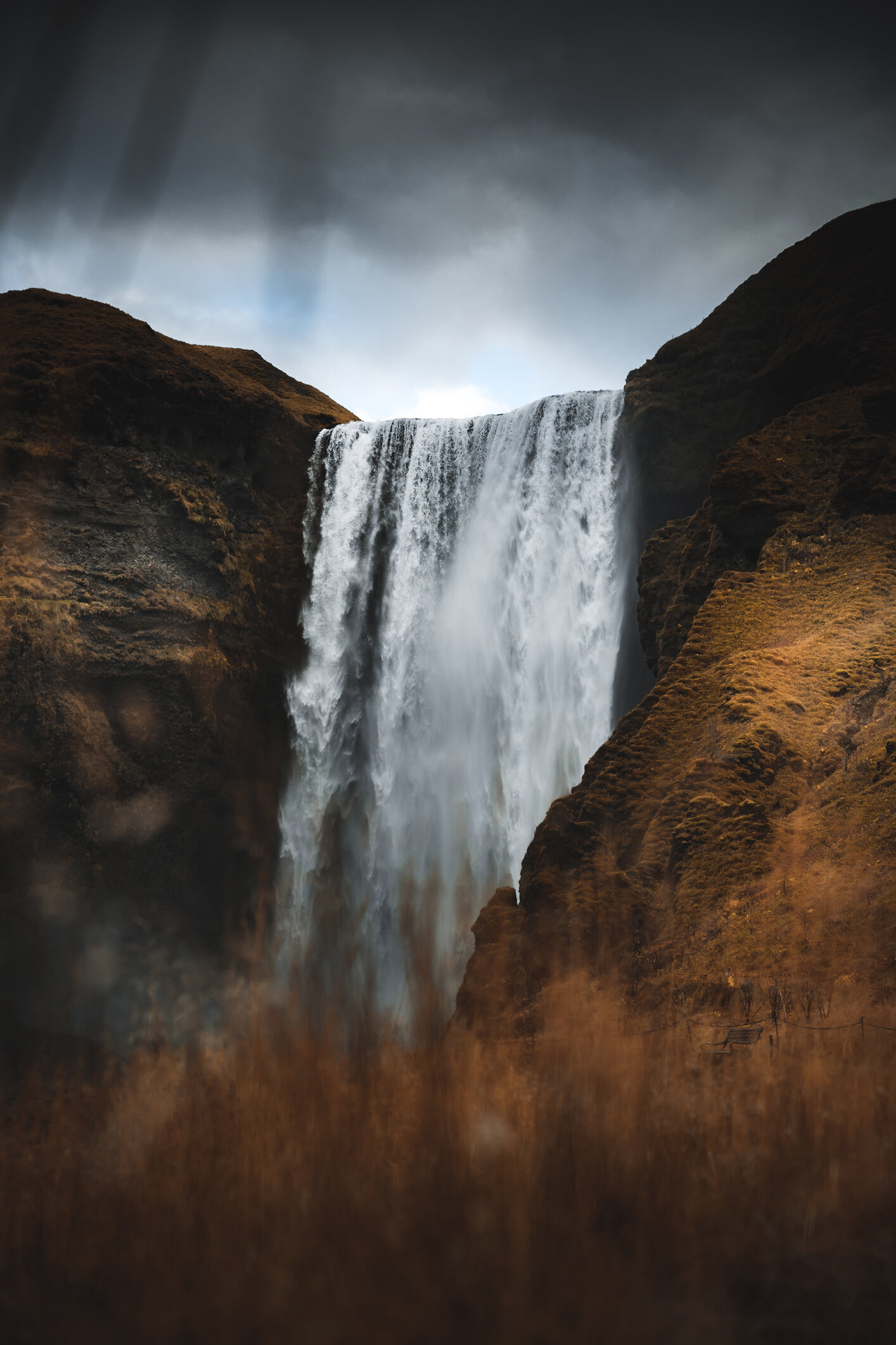
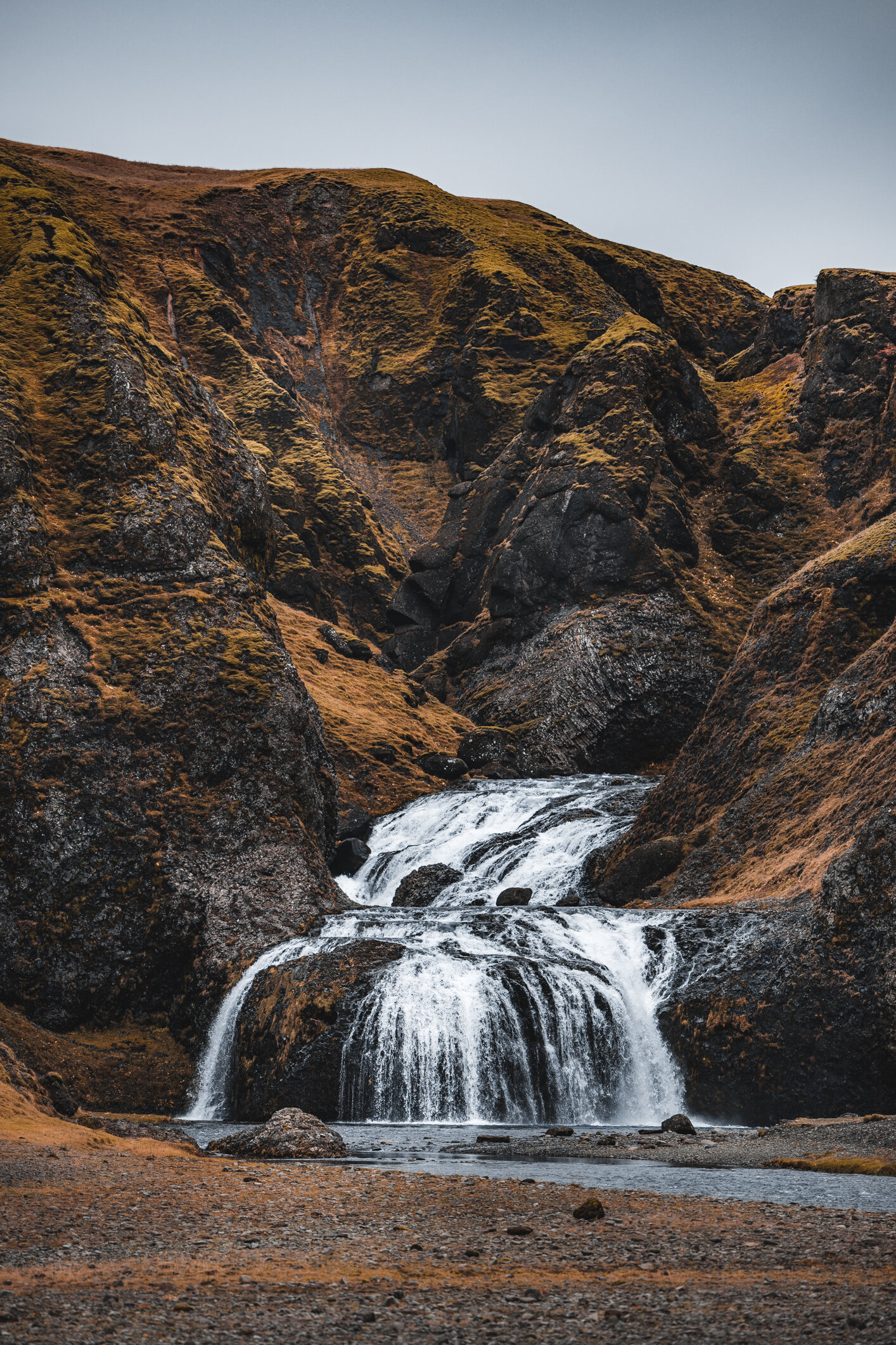
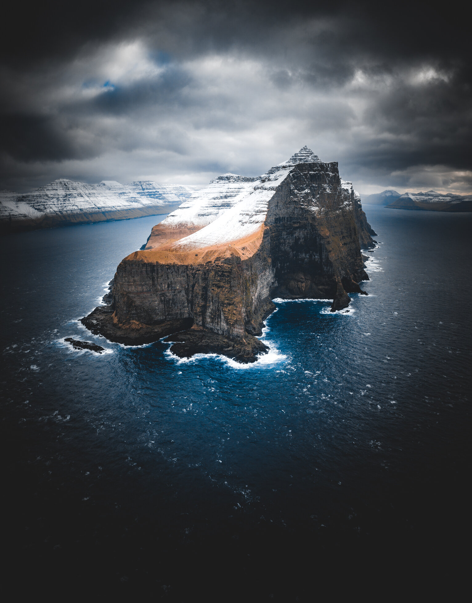
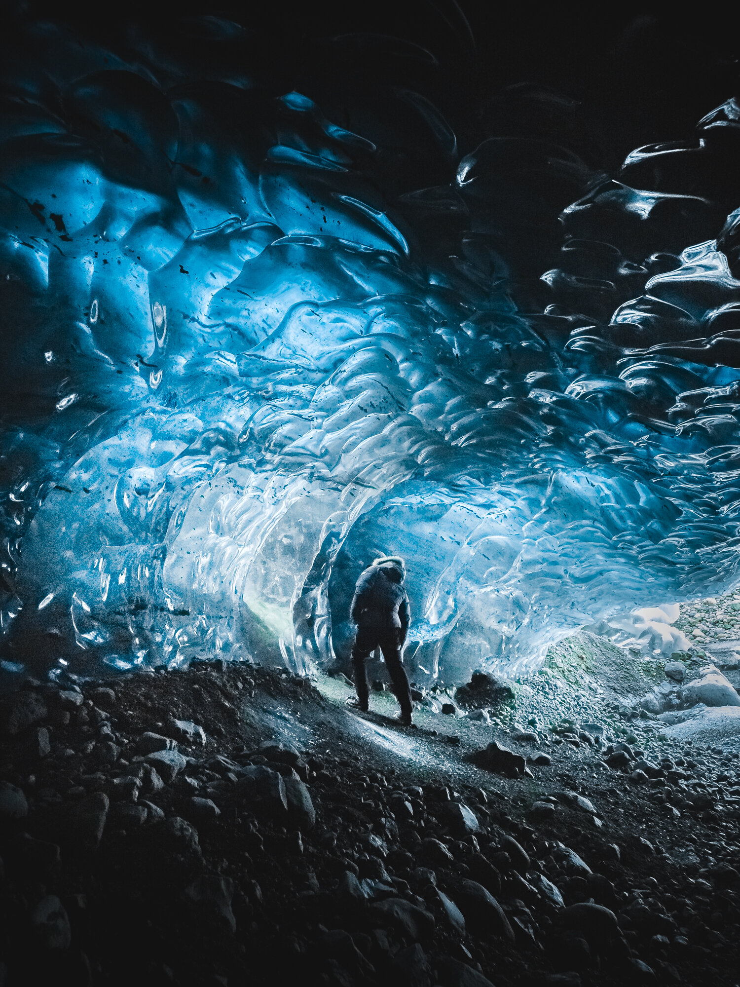
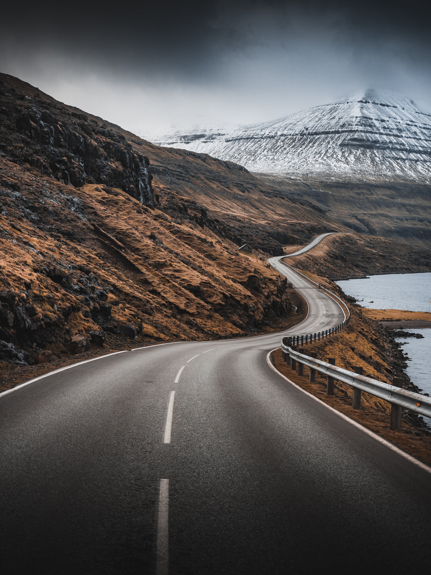
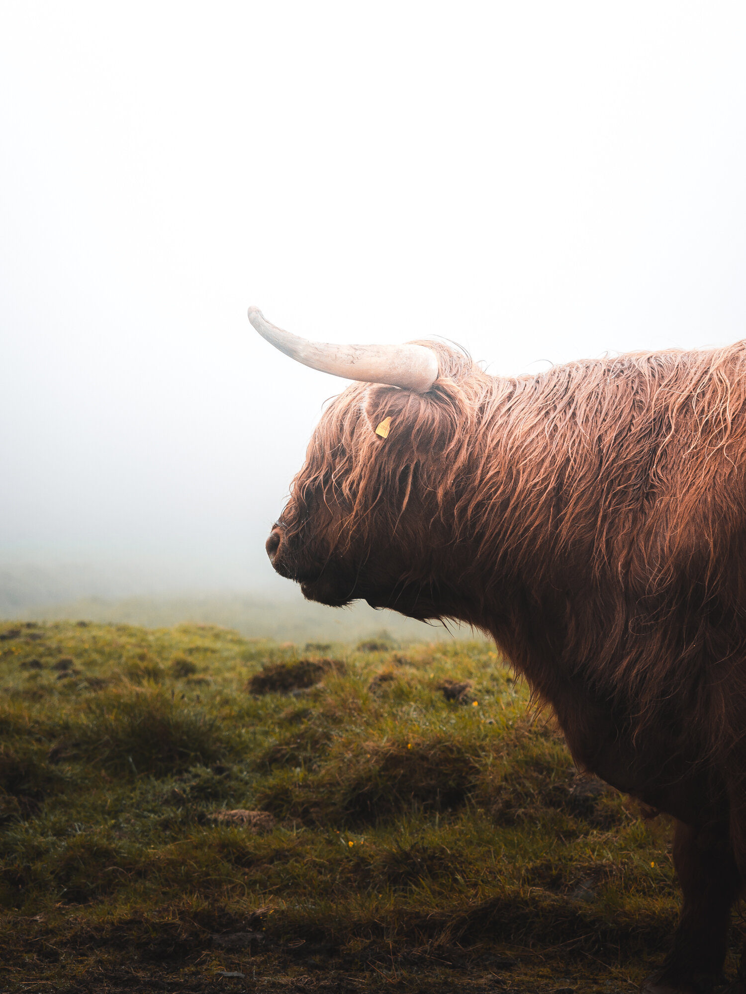
East Iceland - The first images

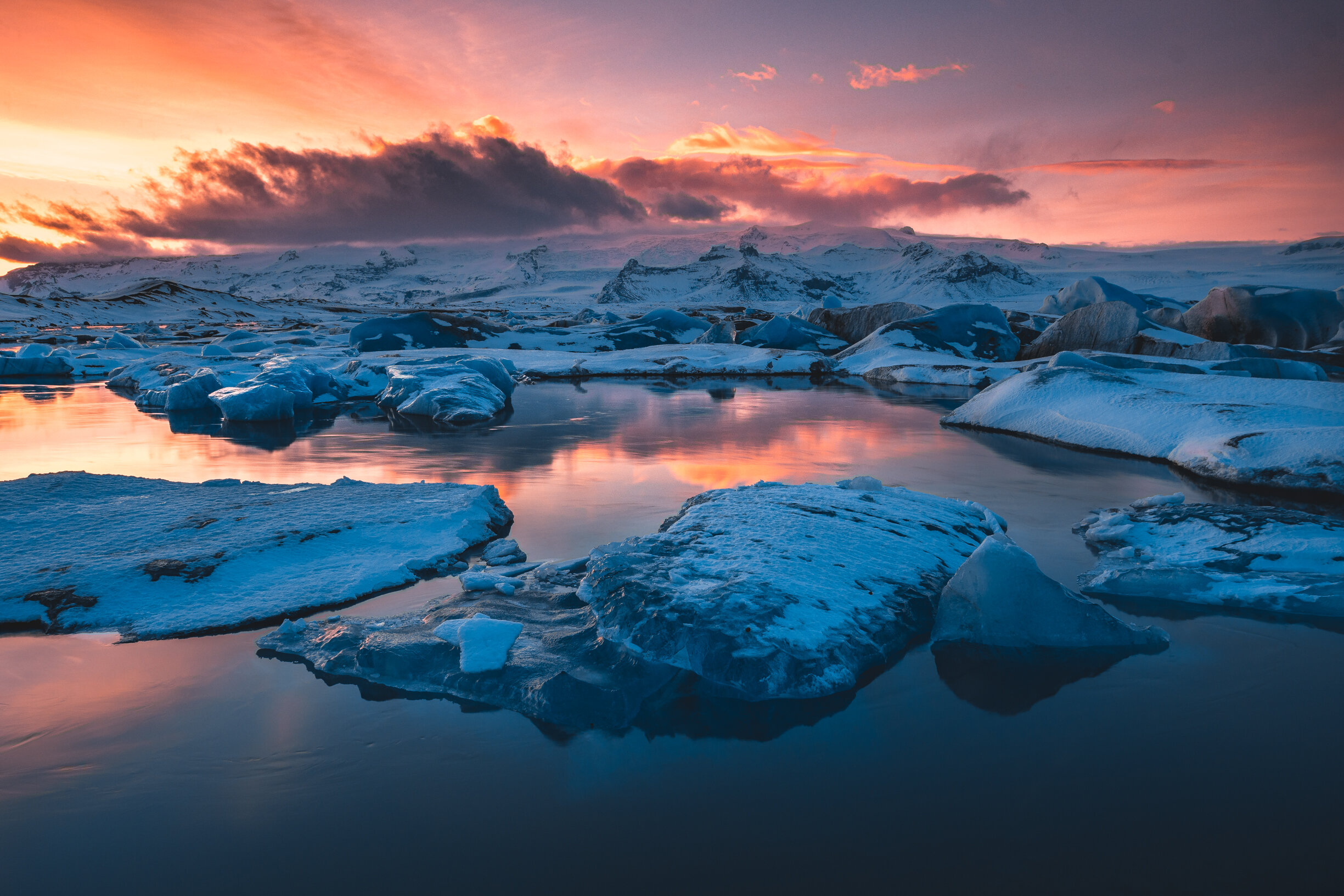
Early August 2021 was and forever will be a special memory in my mind. Finally going back to Iceland for a photography workshop. After all this time at home (well, just a year, but it felt like muuuch longer) I got to travel again and co-host a photography workshop together with my good friend Páll Jökull. And East Iceland was on the menu.

Together with two amazing clients we’ve explored East Iceland all the way from South to North, and even went inland a little bit here and there. This part of the country was new for me, so I was obviously super pumped to get out there and see new places.

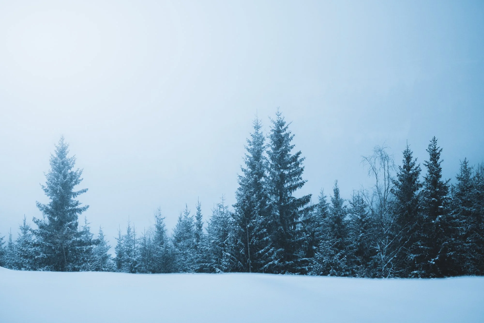
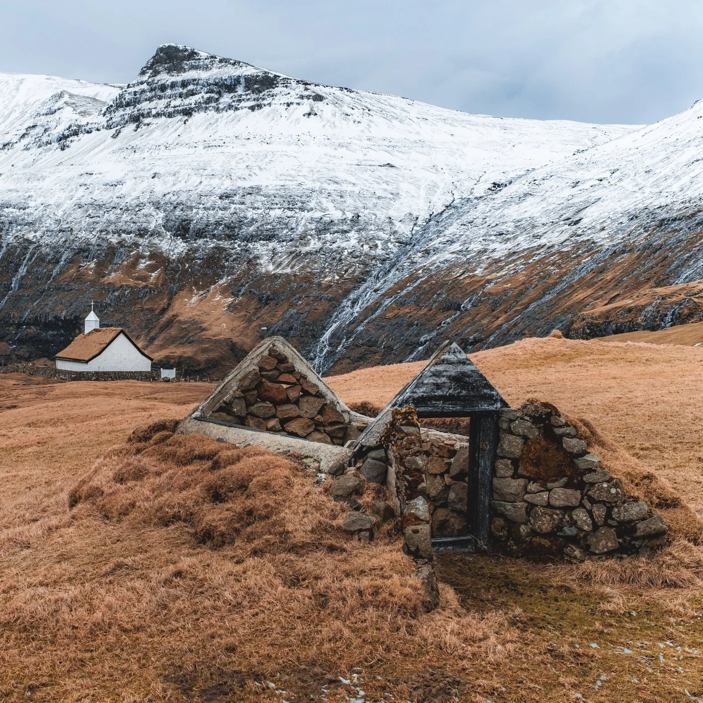
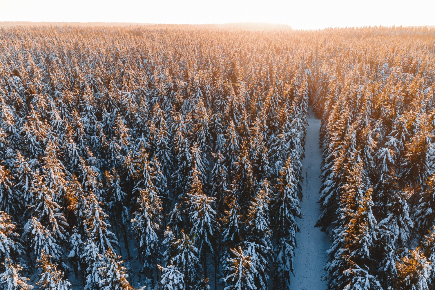
It was special, emotional and everything and more I hoped it to be. To be out in the field with Páll and teaching compositions, timing your shots, several technical aspects together with him is exactly what I needed after feeling quite down and out for a long time. The fact that we always have a tiny and very private/personal group really adds to the great feeling of our tours. It feels like being out with friends and when everyone is likeminded and has the same goal beautiful things are bound to happen. Behind and in front of our cameras. Below are some shots from the trip. Make sure to click them to see them in their original aspect ratio.

Thank you for watching and reading!

I will be updating my Iceland Gallery on my website soon, and there will be loads of photographs from this trip on other blogposts and on my social media: Instagram, Facebook and such.

And of course I did bring my drone, and shoot some video. Here’s the first video of one of the waterfalls we’ve visited and photographed during this workshop. There will be more video and drone footage coming up later on once I’ve gotten round to editing and putting everything together.

Drone Photography - The Tuspeel

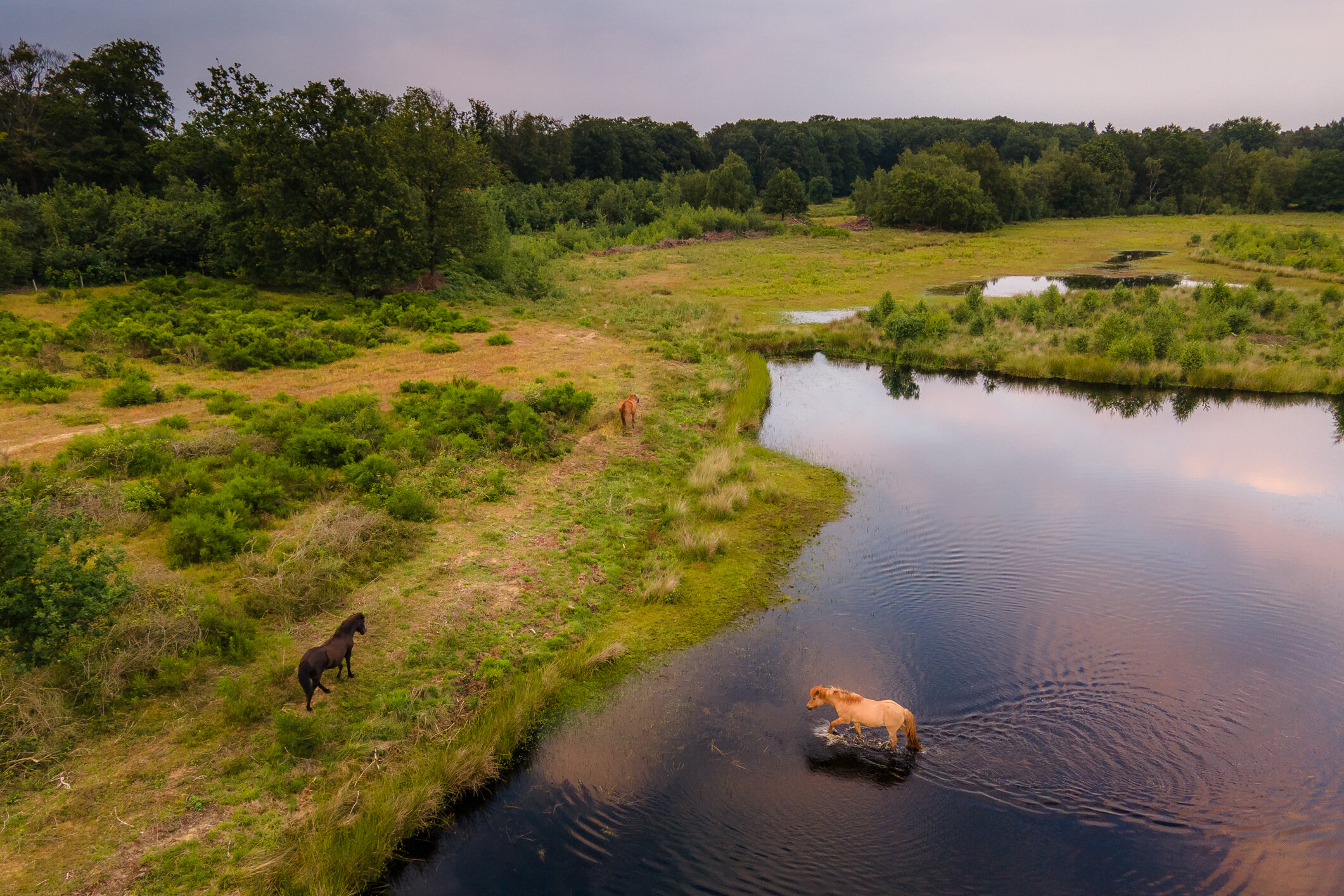
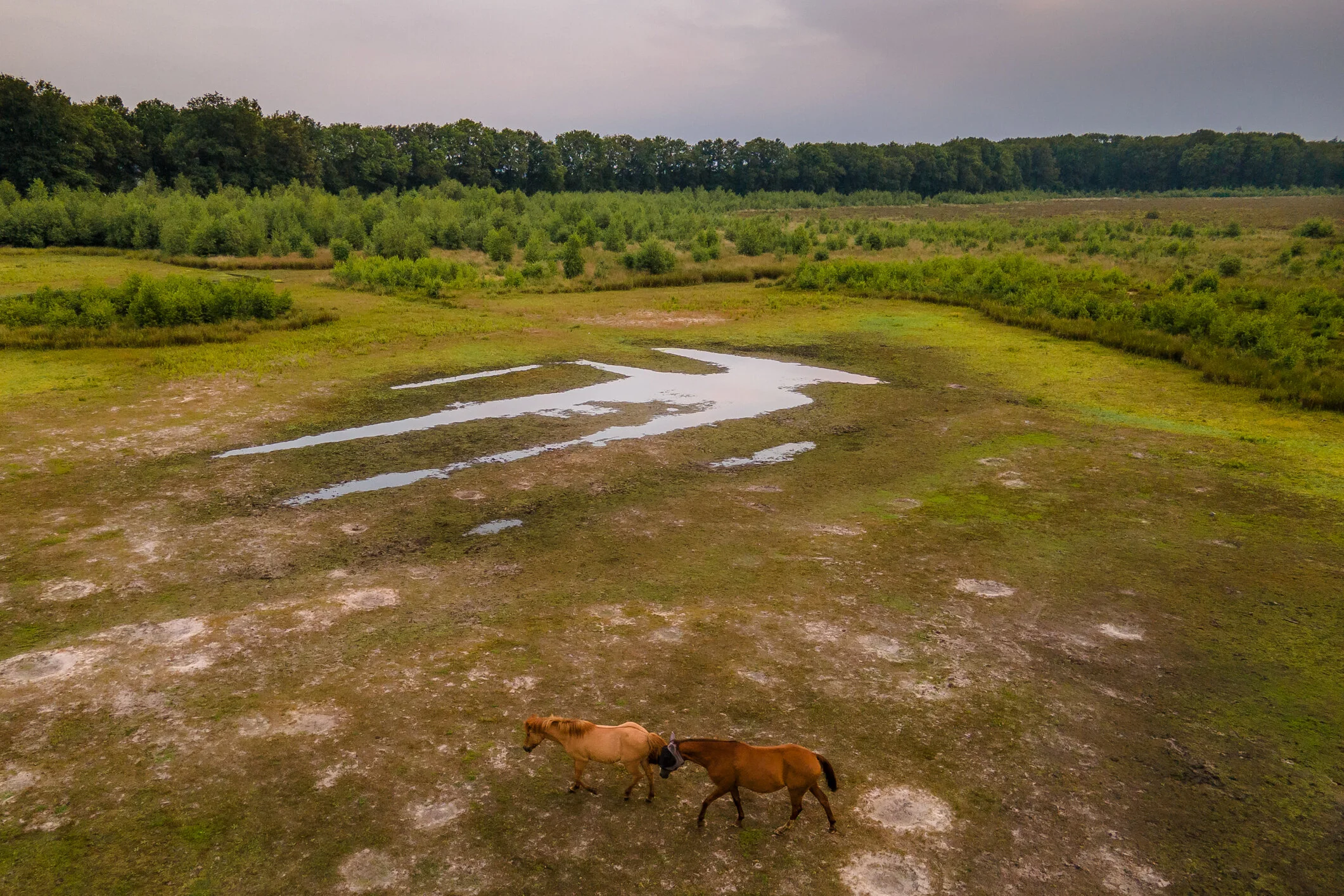
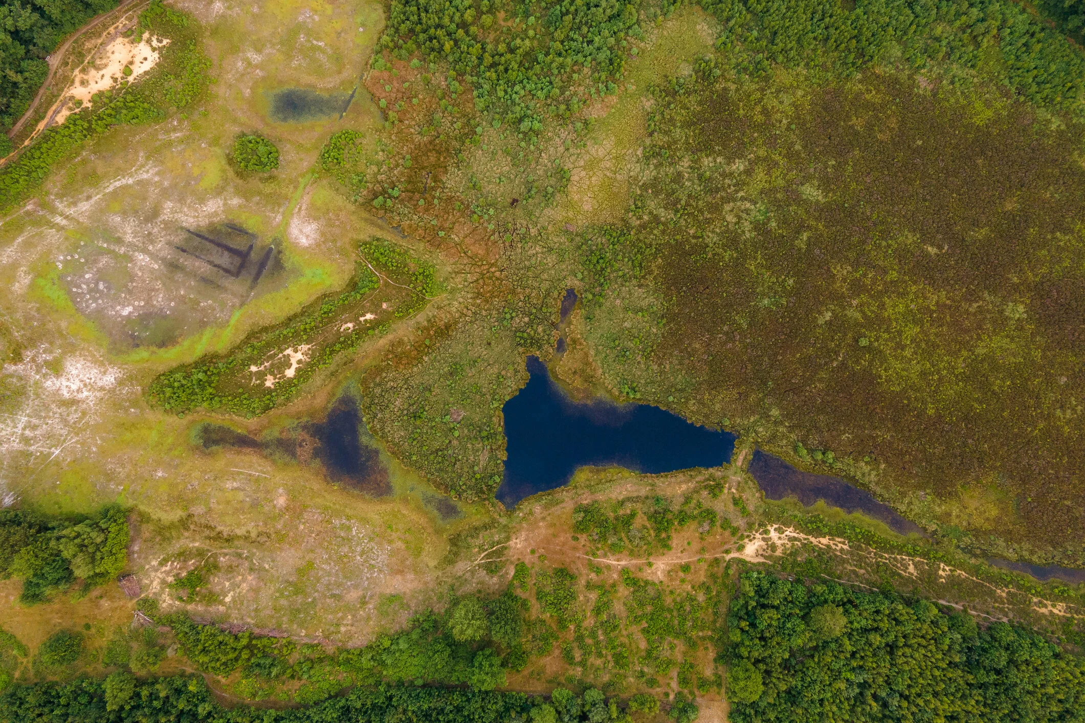
The Tuspeel measures 29 hectares and is probably the southernmost toponym that still contains the word 'peel'. With raised bog as the main feature of the area, the name is not so remarkable. Where 'tus' comes from is a mystery. It is a name that has been used for a long time; it was already called that at the beginning of the 20th century. From the very wet core of the area peat has never been dug away to disappear as peat in the stove. As a result, a number of characteristic species of a raised bog vegetation still occur here. The special area can be experienced from the edges. There are several freely accessible footpaths around the wet core.

The Tuspeel remains moist because of a loam layer in the soil. Peat formed in the depressions, but was not extracted as peat as in most of Limburg. This meant that the characteristic bog flora remained intact. This includes one-haired meadow grass and peat moss, white beak rush, sundew and in the pools floating pondweed and water thrift. Small cranberry, heather and lavender heather are also found. In the dry parts of the reserve one finds, among other things, spiny broom and sand blue.

The animal world includes: small green frog, two salamander species, more than ten species of dragonfly, greenhorn and phegea butterfly.

In the immediate vicinity of the area there are large ponds created by gravel extraction, in particular the Lange Vlieter, today a basin for the water supply company, and the recreational lake Lange Peel.

High drifting dunes around the bog core are planted with Scots pine and American oak. This is where the great spotted woodpecker and the green woodpecker nest. A small herd of horses graze the dry areas throughout the year, ensuring that most of the area does not become overgrown with birch forest.

Svalvogavegur / Road 622 - Westfjords Iceland

Svalvogavegur is a 49-kilometer-long section of road that goes from Þingeyri in the Dýrafjörður out towards Hrafnseyri in the Arnarfjörður in the Westfjords area in Iceland.

Some say it’s the most terrifying road in the country. But it is an insanely beautiful route to take with the road carved into and under cliffs and great mountain views all the way. To drive on this road you need a 4x4 with high ground clearance. It's a loose rocky track, and sometimes muddy. Rough gravel, and even mud, and you have to go on low tide on the south part of it. Remember that inexperienced drivers can easily lose control of the car on unpaved roads.

A large portion of it is also below sea level when the tide is high. Expect to be alone, this track is not very busy. It is not recommended to drive unaccompanied. In case of a breakdown, there is very little in the way of passing traffic or inhabitants around, and no cell phone service in parts. In case of a problem you have to be self-reliant. The weather can change very rapidly and driving conditions therefore too. Thunderstorm activity can quickly change unpaved roads to impassable. The lowest lying parts of the route are usually washed away in winter storms and it is only open a couple of months, from spring through to the first storm.

My friend Eyþór Jóvinsson lives in Flateyri, not too far from this area, and while my friends and I were staying with him in August 2020 he recommended us doing this daytrip since we had a big 4x4 available to us. We had beautiful weather, so off we went!

Now, lets take a look at what you will get to see and experience on this adventure

The town of Þingeyri is where the 622 road starts (or ends) It is where I started the roundtrip. Pick up some food and drinks at the local gasstation.

The town of Þingeyri is where the 622 road starts (or ends) It is where I started the roundtrip. Pick up some food and drinks at the local gasstation.

The beautiful Dýrafjörður is your backdrop for the first bit of your trip. Make sure to take it slow, and take in the views!

Just outside of Þingeyri you will see beautiful mountains, mountain streams, and green and lush valleys in Haukadalur

Taking a moment to enjoy the beautiful Dýrafjörður. This is a few minutes after taking off on the roundtrip.

No shortage of amazing looking mountains during this trip. You will want to take a moment to stare in awe, and photograph them.

No shortage of amazing looking mountains during this trip. You will want to take a moment to stare in awe, and photograph them.

Things are getting a bit more serious when you are about to go around the corner, and head for the southern part of the road.

Driving here is absolutely fun, impressive, sometimes a bit scary, humbling, insanely beautiful but most of all really fun!!

This view of the Dýrafjörður is one I couldn’t get enough from. I mean just look at how pretty this is, you agree with me right?

Sketchy bit of road. Narrow, big drop below. Take it slow. This section will test your nerves for sure. Quite the adventure!

Just look at this. This section of the road is definitely one of the most impressive highlights of the trip.

When you are about to reach the Westernmost point of the trip, there’s a nice little place to take a break called Höfn. Sit down in the grass, relax and eat lunch. There’s one little holiday home with a barn in the middle of nowhere. Just park the car in the grass, and enjoy being in such a beautiful and remote place with beautiful views all around.

After leaving Höfn, you will get to Djúpidalur. And find some very interesting and beautiful rock formations on the coastline.

A true paradise. Beautiful rocky cliffs. And Skagafjell mountain with a nice layer of fog on top of it in the distance.

Svalvogarviti. A 6 m (20 ft) square concrete tower lighthouse. That has two long flashes every 20 s, white, red or green depending on direction

After passing the lighthouse you will see this abandoned farm. Abandoned farms are everywhere in Iceland. And a lot of them are in the Westfjords. This farm is called Svalvogar. The place this road is named after. With a total population of around 7000 people in the Westfjords area and that number still decreasing it comes as no surprise that you will find plenty of abandoned farms and houses. People have often left the area in search for (more) work in Reykjavik or other less remote areas in the country.


Photo from Icelandmag.is

After leaving the abandoned farm you get to the most interesting part of the trip, and possibly the hardest part to drive. But for sure also the most impressive and beautiful part. This section of the road disappears into the sea at high tide. So its really important to have some understanding (or ask a local before you set out to go) of when the tide is low and the road is passable.

You don’t want to end up getting stuck here. No phone reception, and the rising ocean will just sweep the car off of the road, drag it out into the ocean and smash it into the cliffs. There’s been several accidents like that here. And it will cost you a lot of money and trouble to have a rescue team to come and get you. This is the part of the trip were you really have to respect nature, and keep an eye out for the conditions.

This photo shows a wrecked rental car. Clearly not a suitable 4x4. As a result it was dragged into the ocean and totally destroyed.

So please, once again… if you want to drive and experience this road…

  • Only drive it with a suitable 4x4, A bigger jeep with bigger tires would be the best. A smaller 4x4 will NOT be a good option here

  • Go in Summer, don’t even think about driving this road in the winter. It becomes completely impassable. Covered in snow and ice.
    If there has been heavy rain driving this road is a no go too. The slippery and muddy track is just asking for trouble.

  • Let a local know you are going to drive this road, and even exchange phone numbers… just in case

  • There’s no phone reception on large parts of the trip. And if there is, it will be very bad. So just take care, and pre-plan every step and corner. No need to rush here. You want to take in the sights anyways. And this trip requires your full attention on the driving and safety part.

  • I can’t stress enough to take it easy and slowly. This is a full day trip. Take your time and enjoy.


Alright, with those important reminders out of the way. Lets look at how beautiful this part of the road is. Absolutely one of, if not the highlight of the roundtrip. Driving a rocky and narrow path, right by the sea. Miles away from civilization. Cliffs, mountains, waterfalls, seabirds and fjord views are the only thing on your mind when driving here. Spectacular!

The perfect way to end the trip is to have a coffee and cake over at Hrafnseyri.

Hrafnseyri is an old town in the Westfjords that dates back to the Settlement Era and has links to Iceland’s independence movement.The settlement is named after one of its earliest residents, Hrafn Sveinbjarnason, who lived here in the 12th Century.

He is not the area’s most famous child, however; it was also the birthplace of Jón Sigurðsson, the father of Iceland’s push for independence from Denmark.Although Jón never lived to see his dream of a free nation pan out, he is still revered nationwide.

At Hrafnseyri, there is a museum dedicated to him and his efforts, aptly called the Museum of Jón Sigurðsson. To add to the historic ambience that imbues this village, there is a cafe within an old turf-roofed building.

I’ve also recorded this video with my drone that you can see here below. Showing you snippets of the road, and the crazy beautiful surroundings of the Svalvogavegur. Check it out and be blown away by the beauty of the nature in Dýrafjörður and Arnarfjörður.

You can now probably see and understand why the Westfjords is my favorite part of Iceland. So pristine, raw and true Icelandic.

Thank you very much for reading this blogpost, if you have any questions about the Svalvogavegur road experience feel free to send me an email, or through social media. I am happy to answer your questions.

This blogpost has been made possible by MyCar Rental. Exclusive and high quality, no nonsense Toyota car rental in Iceland.

Thrainn Kolbeinsson: Free for all, my edits.

My friend Thrainn Kolbeinsson from Iceland has put up a bunch of his RAW files on his website. All RAW files of photographs that Thrainn took. But you can get your hands on, and edit.

Its of course very interesting to see someone else play around with your RAW files, and give their creative interpretation to your photographs. I really liked this idea, so that is what I’ve done here. I’ve edited the following of Thrainn’s photographs.

*Make sure to click the photographs to see it in its original aspect ratio!!

Go give Thrainn’s website and instagram a visit and a follow, he is a super talented photographer as you can see from these images below.
You can find him on: https://thrainnkolbeinsson.com and https://www.instagram.com/thrainnko