Grathem: Het Puinebrug Ommetje

Grathem is a village in the Dutch province of Limburg. It is located in the municipality of Leudal, about 10 km west of Roermond. Around 1700 people live in Grathem, and I am one of those. I have moved to Grathem with my wife, back in 2012. So Grathem is my hometown for 8 years now.

In these 8 years I have really grown fond of this beautiful little village. It is small, super quiet and not busy with traffic at all. It is that classis small rural village. In and around Grathem there’s beautiful nature. In summer there’s some tourism, and there’s a popular cycling route going through town. So, expect some people out and about in the summer months. Other than that, it is quiet, peaceful and again… that typical tiny village surrounded by lots of nature.

FUJI2150.jpg

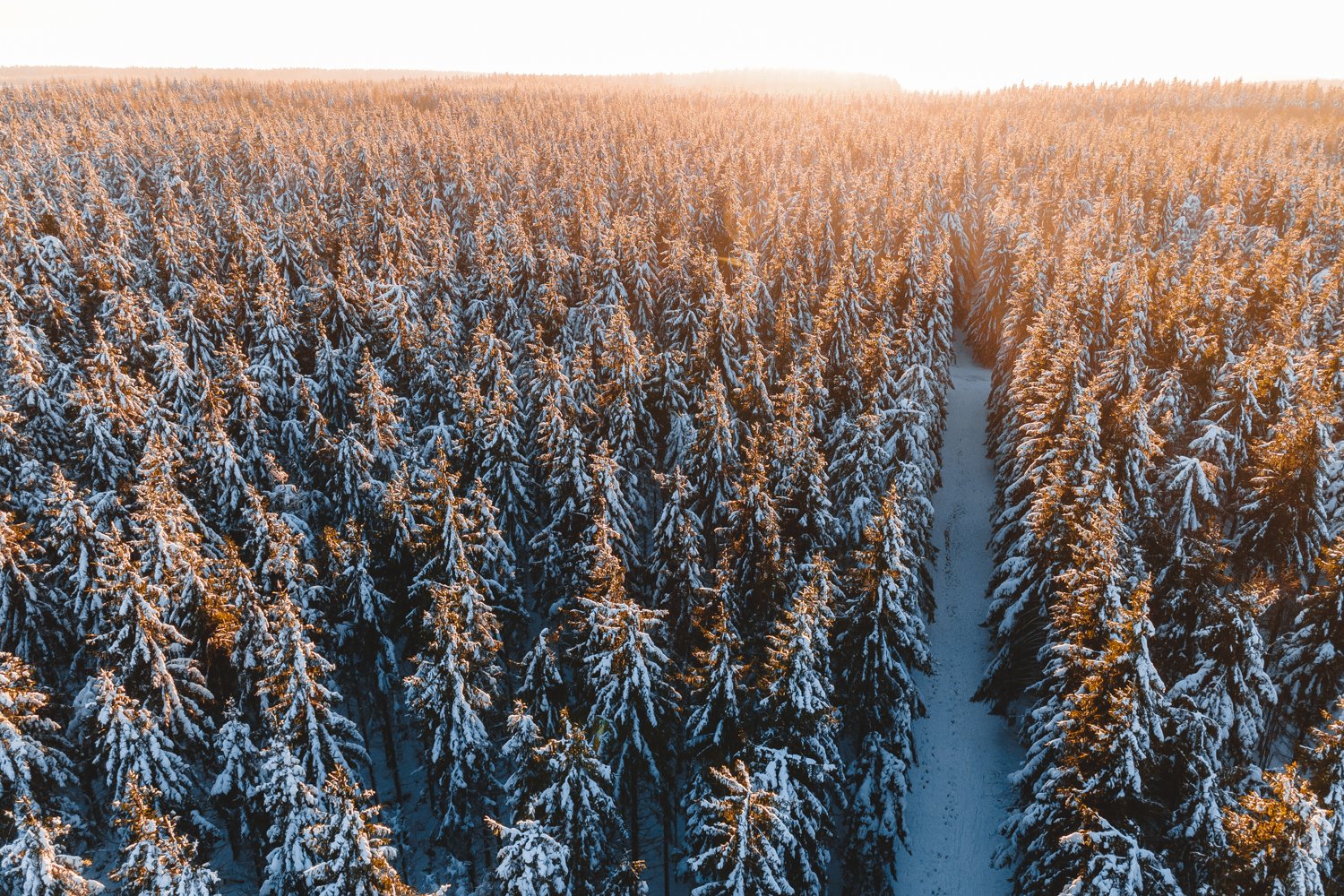
The year is 2020, and the world is on lockdown due to the Covid-19 situation. Therefore I am not travelling right now, and I have a lot of “stay at home time” ahead of me still. The weather is nice, spring has arrived. So this is the perfect time to photograph and showcase my hometown, and my local area.

I have documented this walking route called “Het Puinebrug Ommetje” that goes through parts of Grathem, and takes you through some beautiful nature. I will take you through the walk step by step and frame by frame. Let’s take a virtual trip right?


1. This is the map of the route, we are are going to walk the blue route, “Het Puinebrug Ommetje”

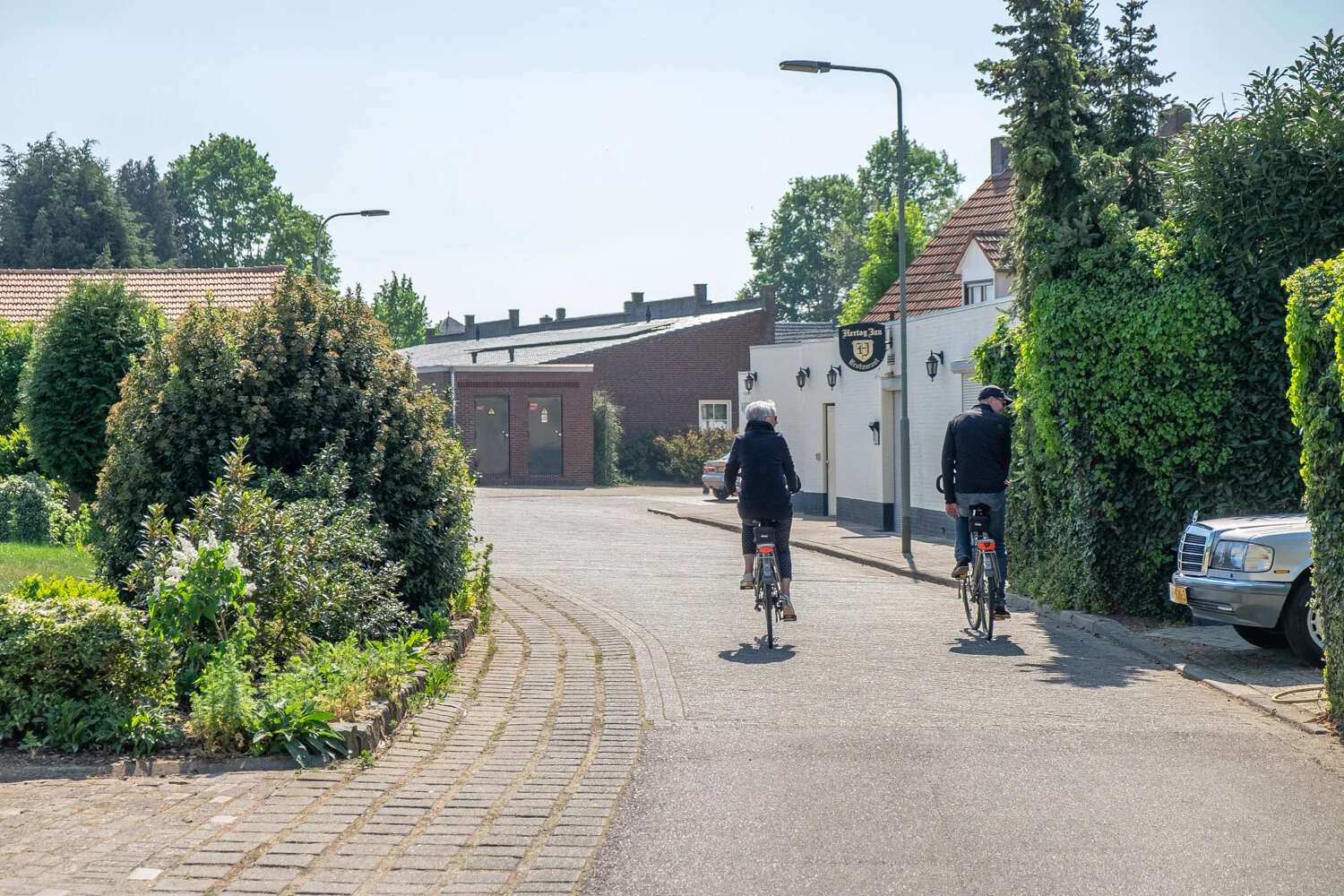
2. This is your starting point. “Markt” basically the main square, or downtown

3. From the market square you start walking south, onto the Dorpstraat

4. You will come across this small chapel, called the “Heilig Hart Kapel” built in 1922

5. We will make a left turn by the chapel, to head onto the street called “Gulden Eind”

6. We will pass ”Biej Smidje” the only store and supermarket in the village

7. We will continue walking down “Gulden Eind”

9. After we have passed the “Beekstraat” we are now on a small bridge called the “Puinebrug” and we can see the “Uffelsebaek” for the first time.

8. Looking right whilst on “Gulden Eind” we see the “Beekstraat”

10. Looking south whilst on the “Puinebrug” we can see a glimpse of the St. Severinuschurch (12th Century)

"Puinebrök"
The bridge between the Gulden Eind and the Beeklaan is known in the village under the name "Puinebrök"
It owes its name to the time when the crossing over the stream still consisted of wooden beams. Weather conditions created space between the beams with the result that farmers got stuck in them with their horse-drawn carriages. In order to remedy this problem, "puine" (plags) were laid over the beams. That's the origin of the name for this bridge.

11. After taking the “Puinebrök” crossing the “Uffelsebaek” we turn left, and we see the St. Severinus Chapel (1976)

12. When we have passed the Chapel, we make another left turn, away from the bigger dirt road, onto the smaller one, that goes right next to the “Uffelsebaek”

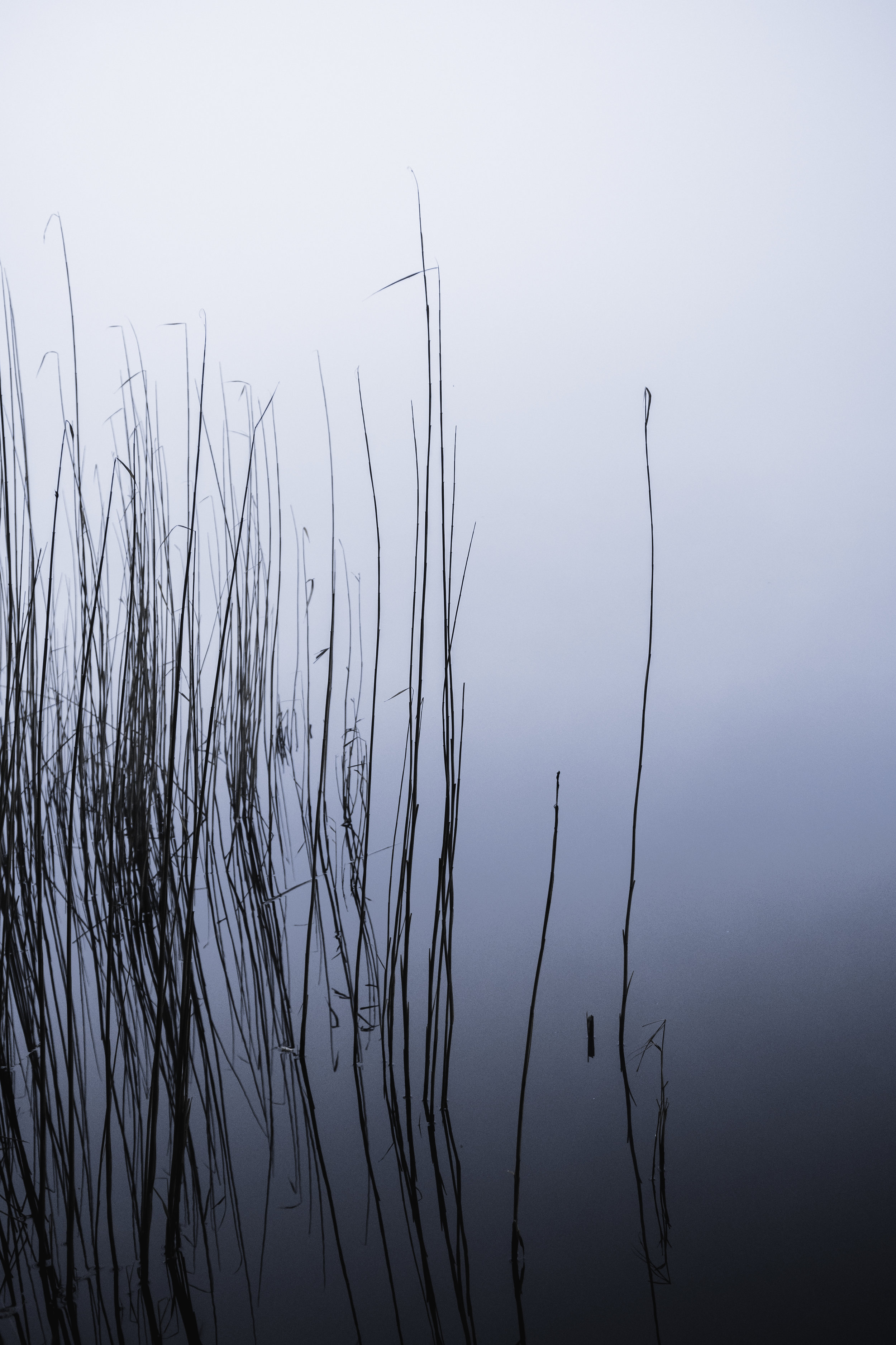
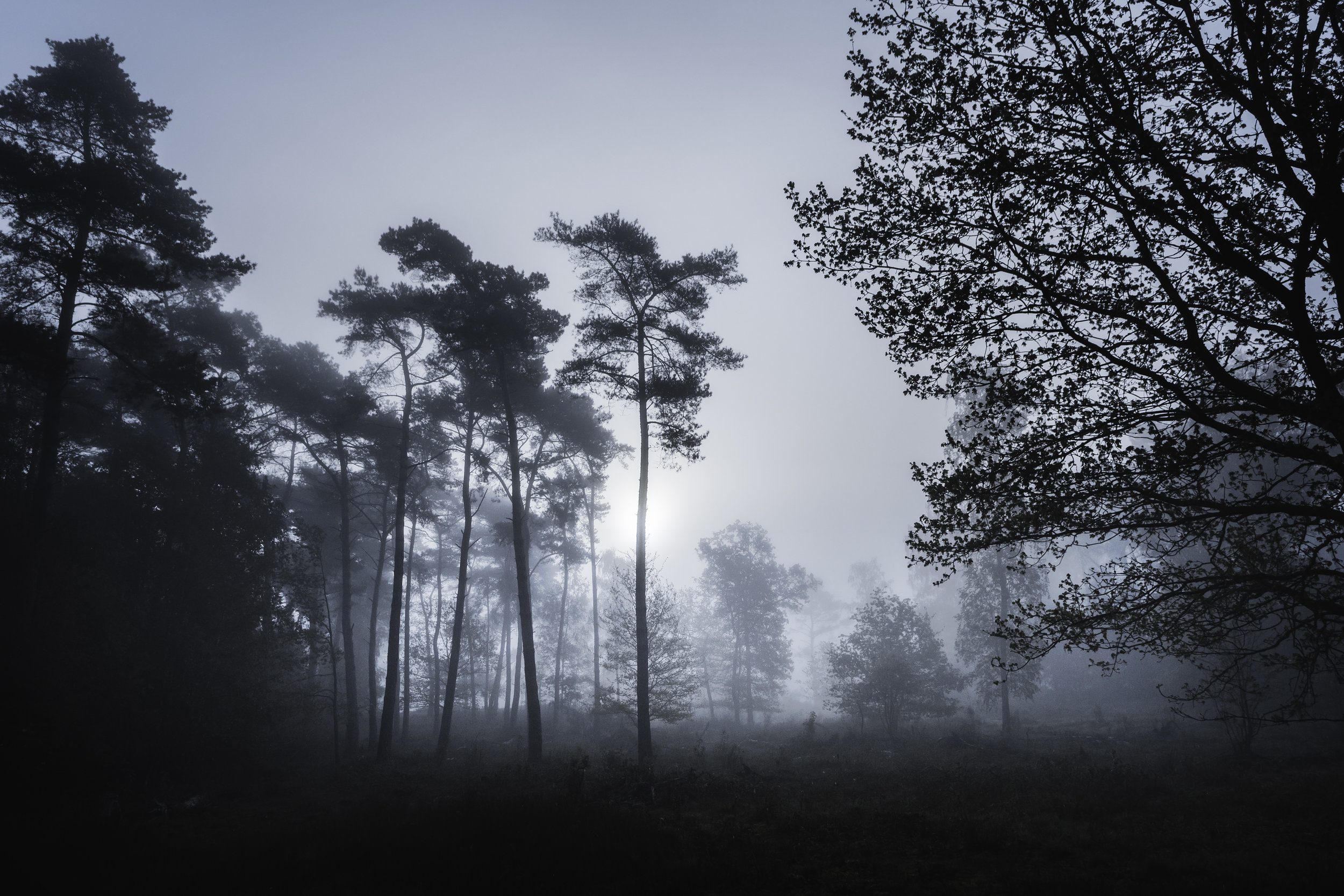
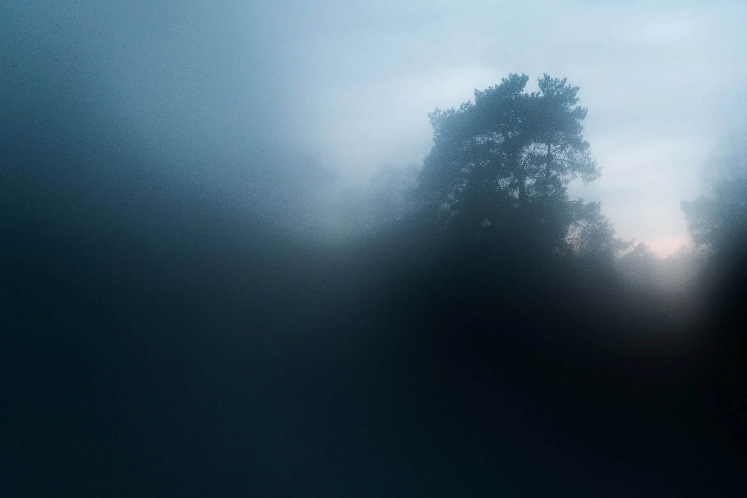
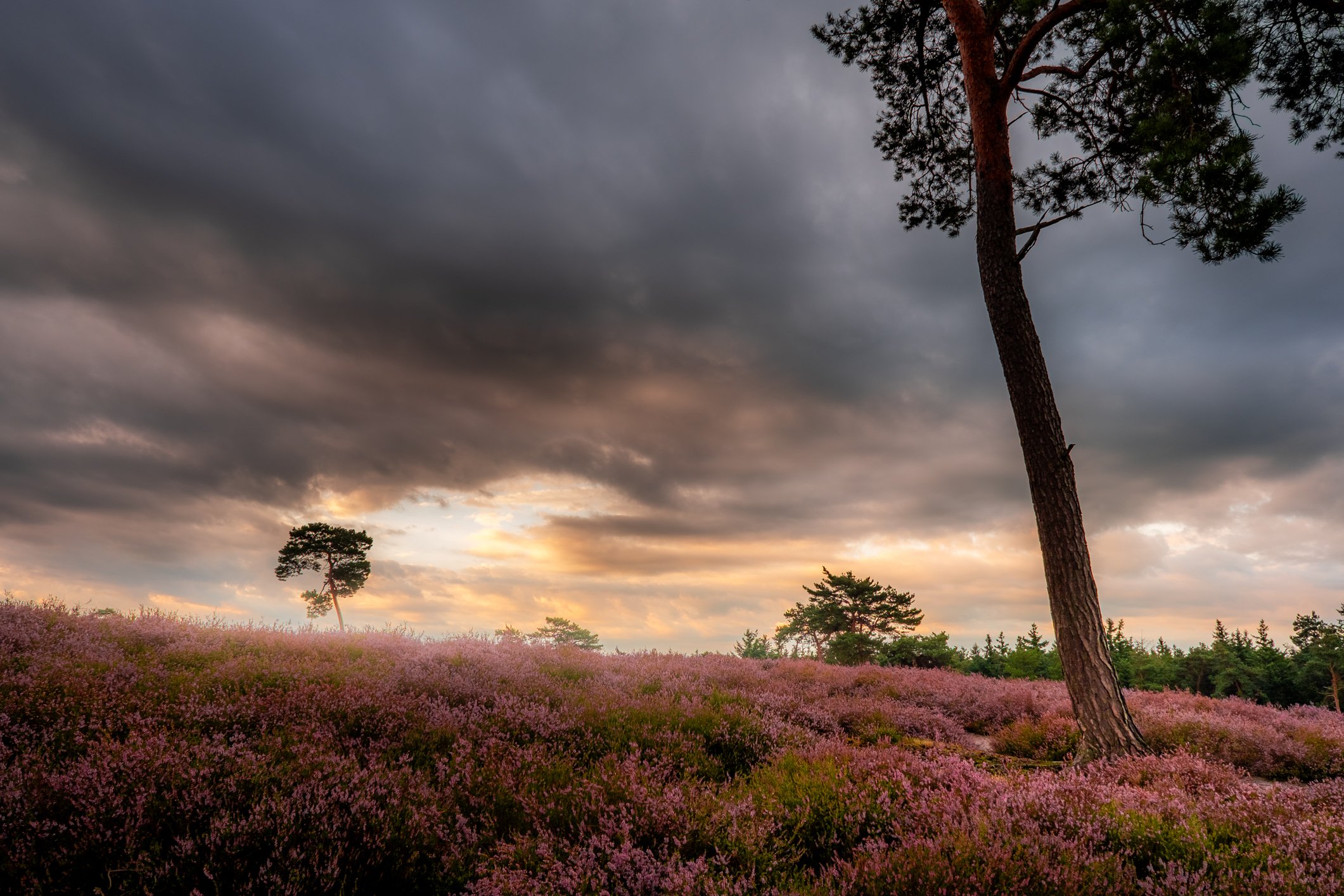
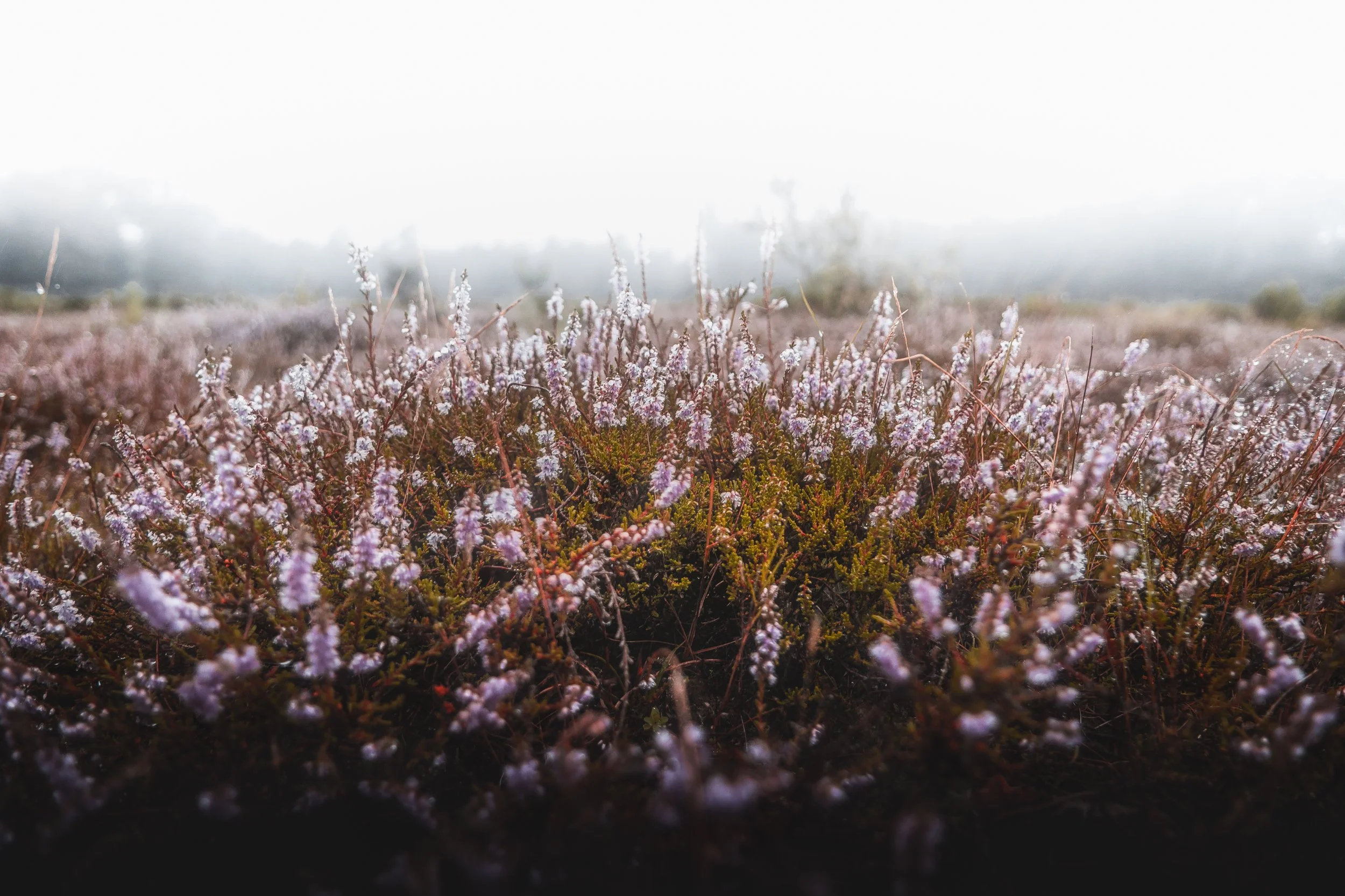
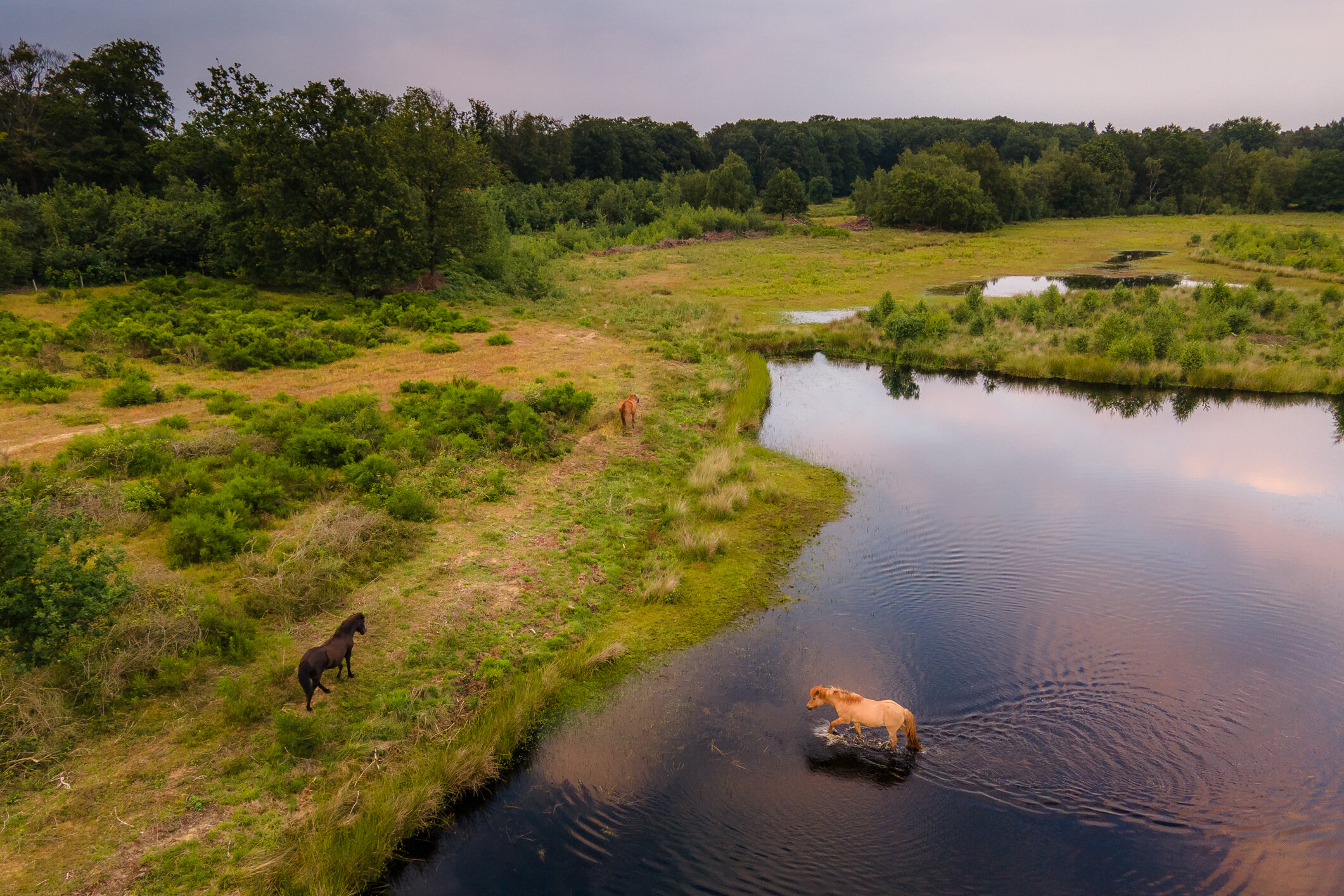
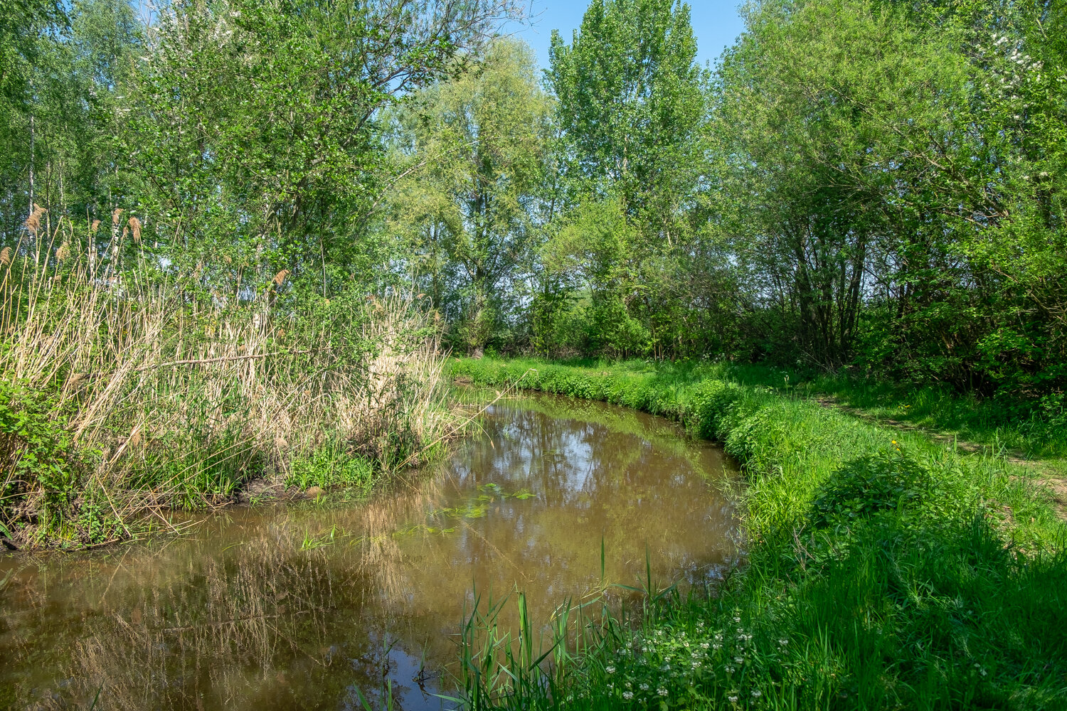
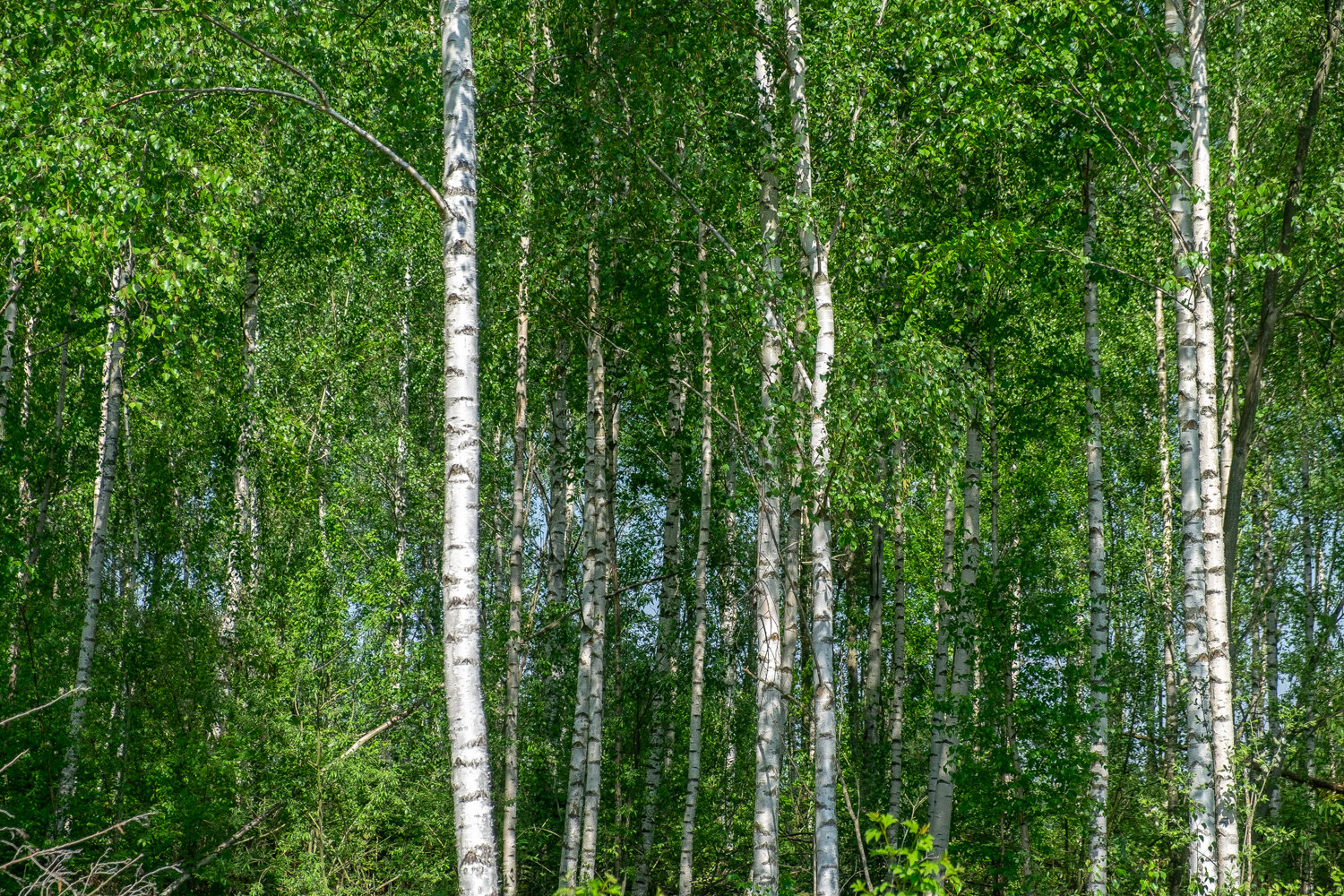
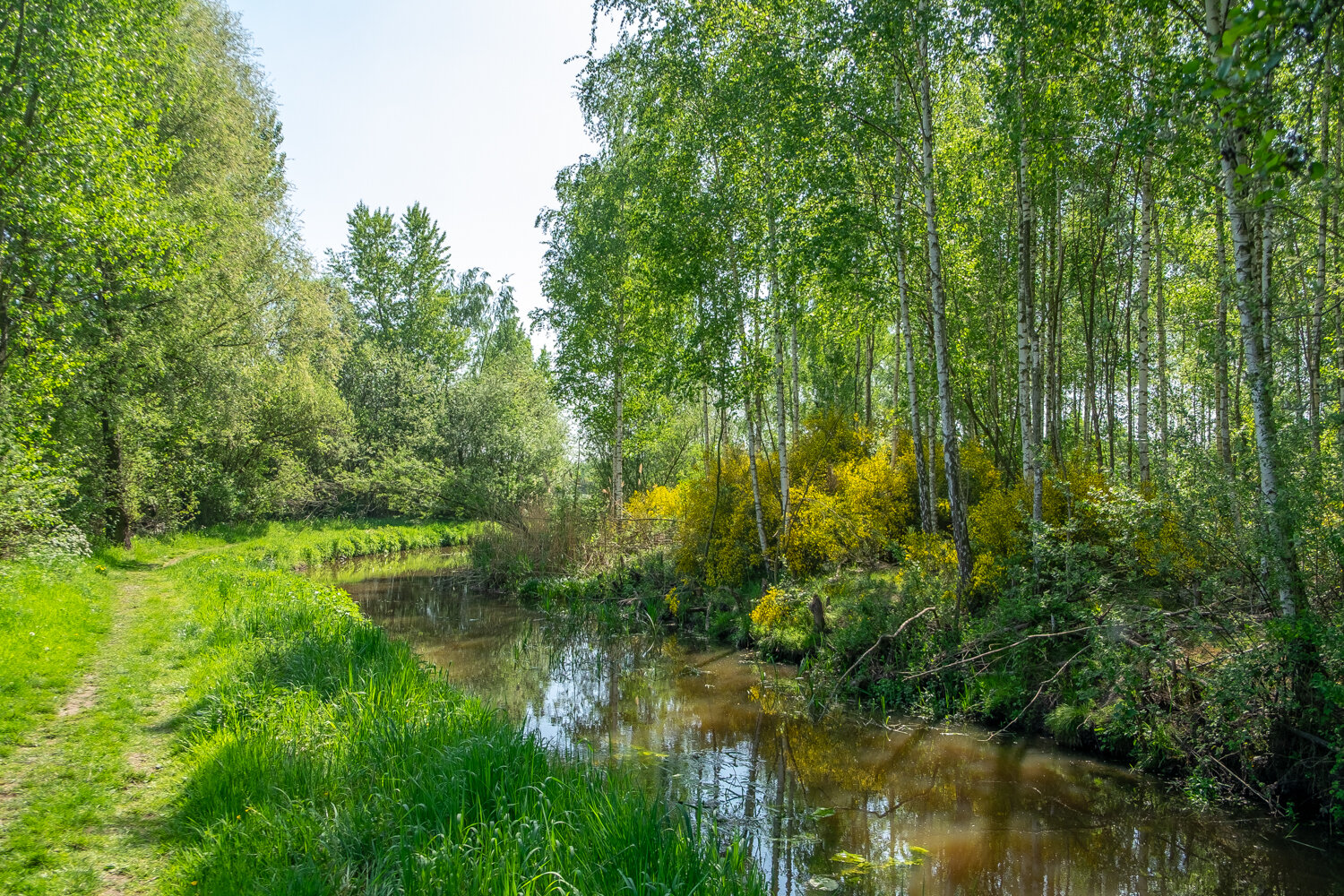
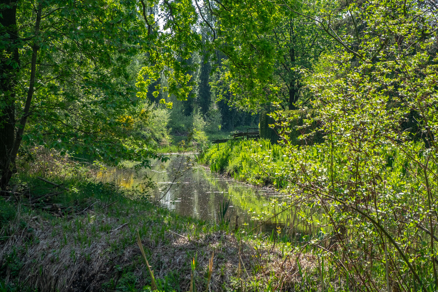
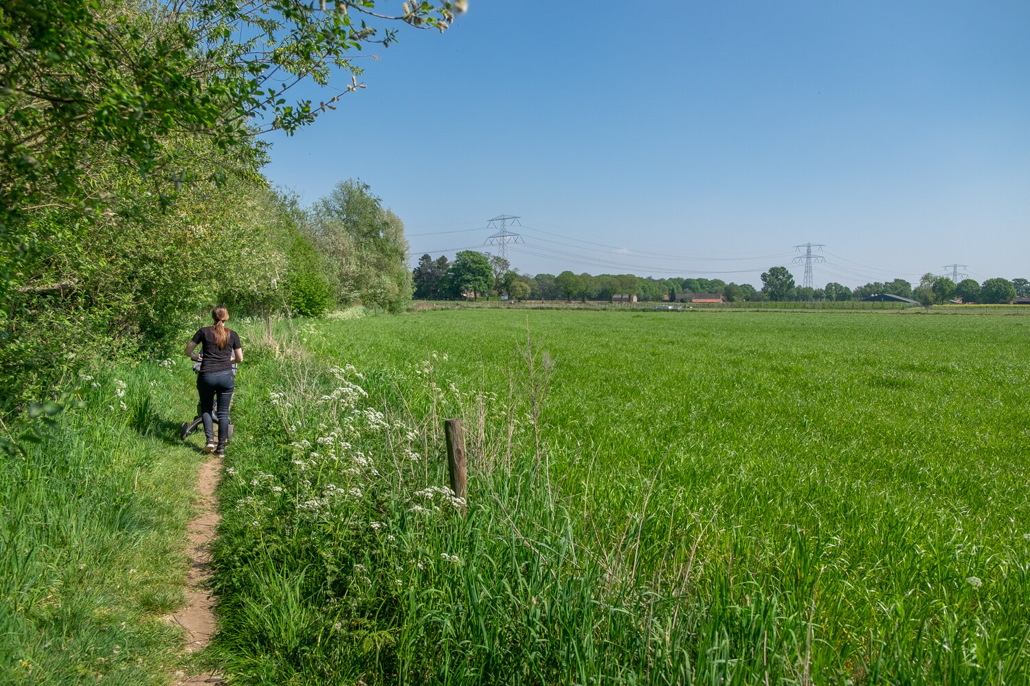
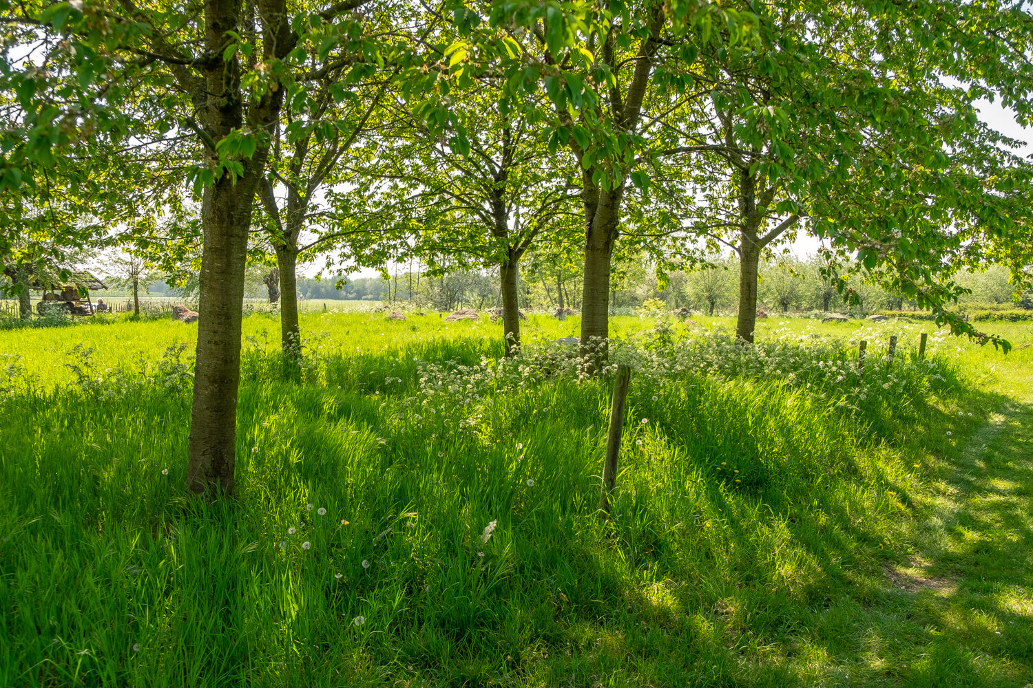
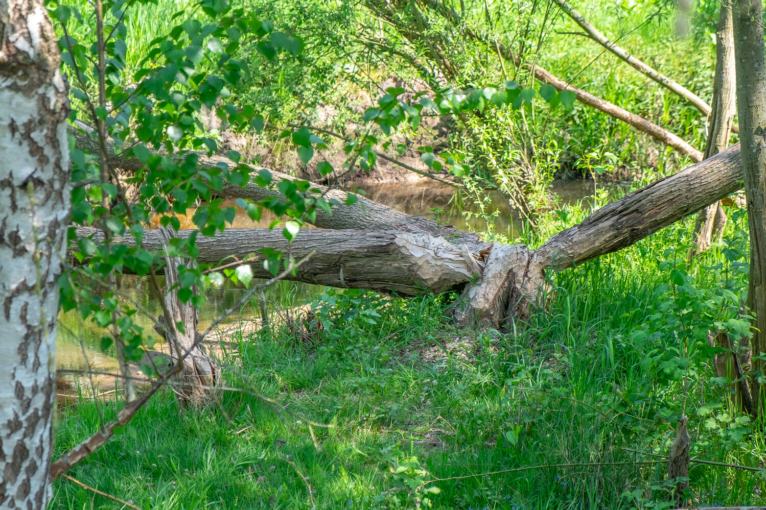
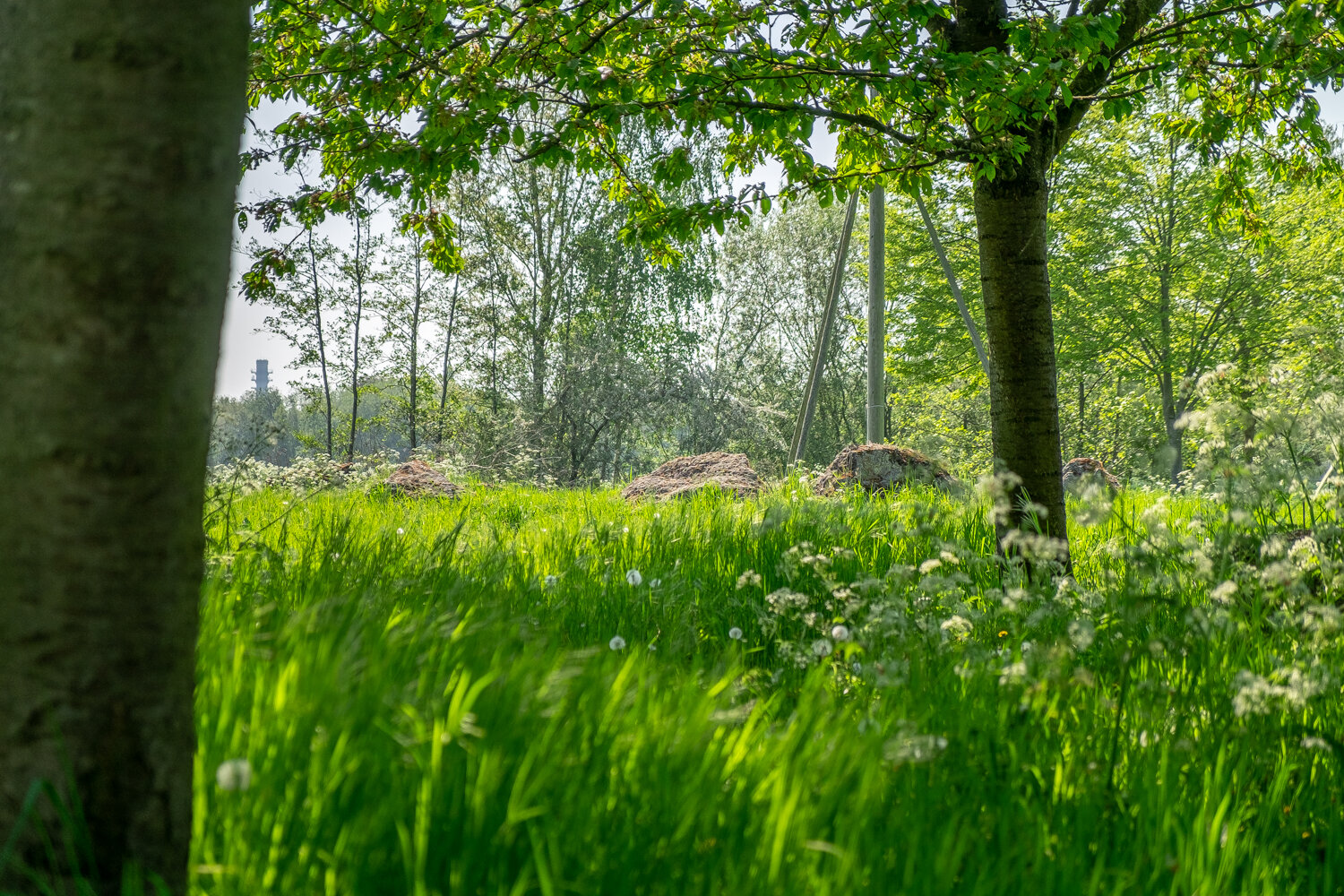
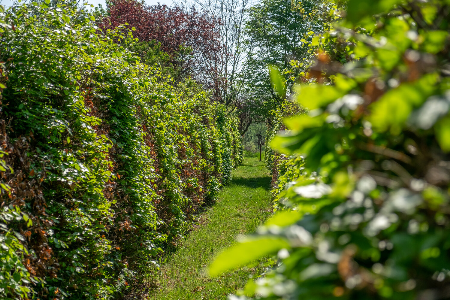
13. Next up is a bunch of shots of the beautiful nature you will be seeing, walking next to the “Uffelsebaek” just keep following the path, and you will come to a place where the trees make room for a nice and open view, out over the fields.

14. After a while you will see another bridge crossing the “Uffelsebaek”

15. We are now crossing this bridge over The “Uffelsebaek”

“Kapittelsbos”
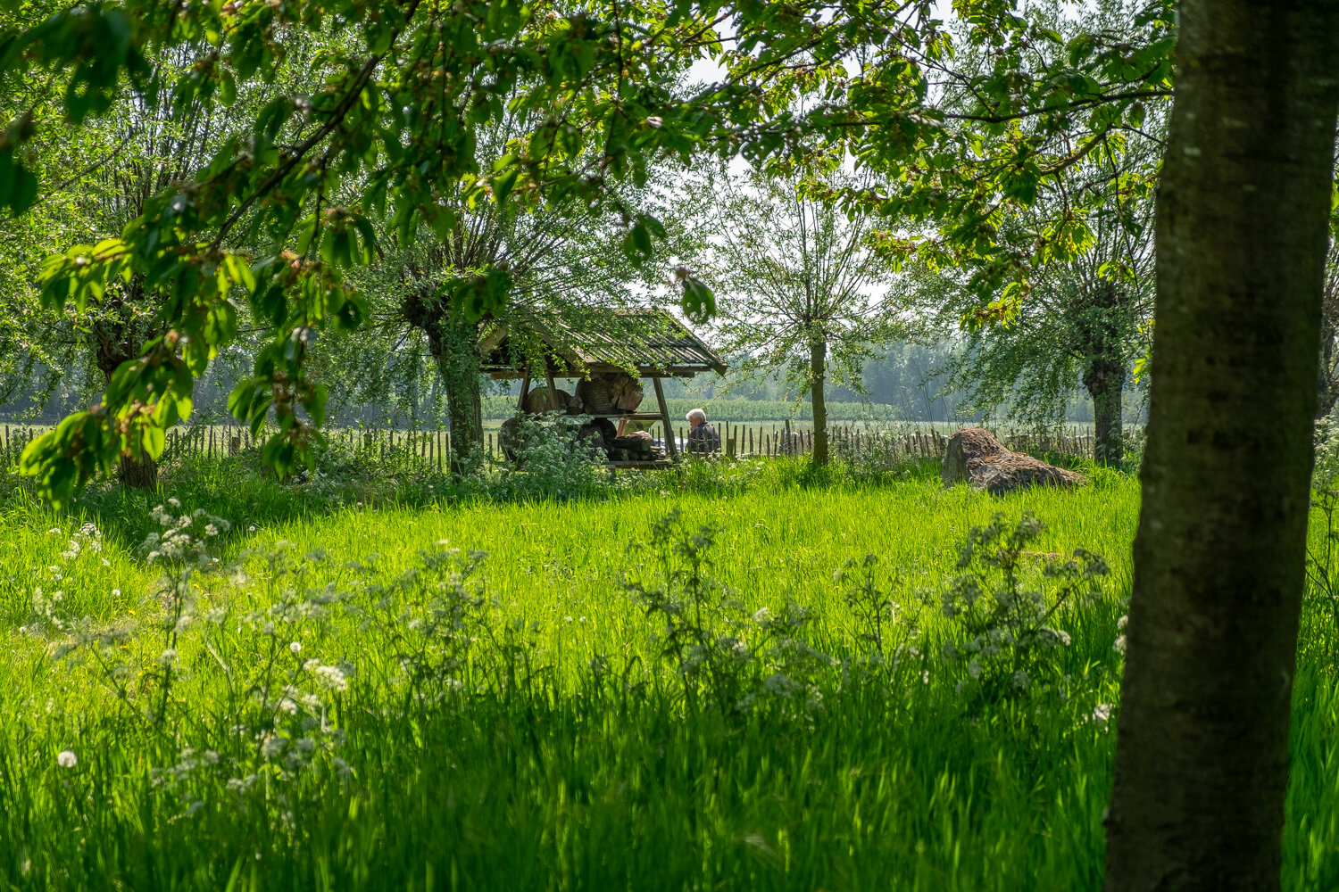
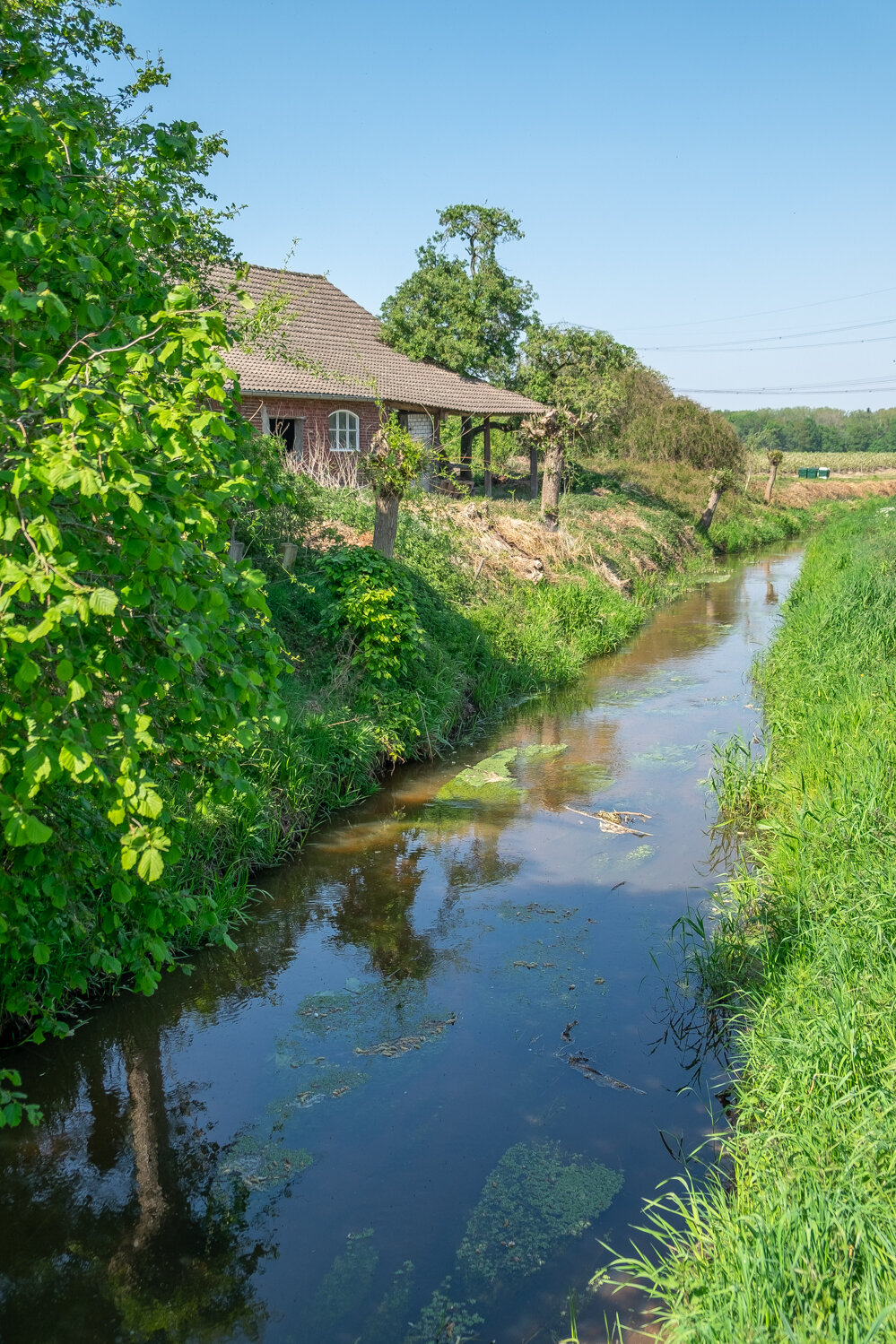
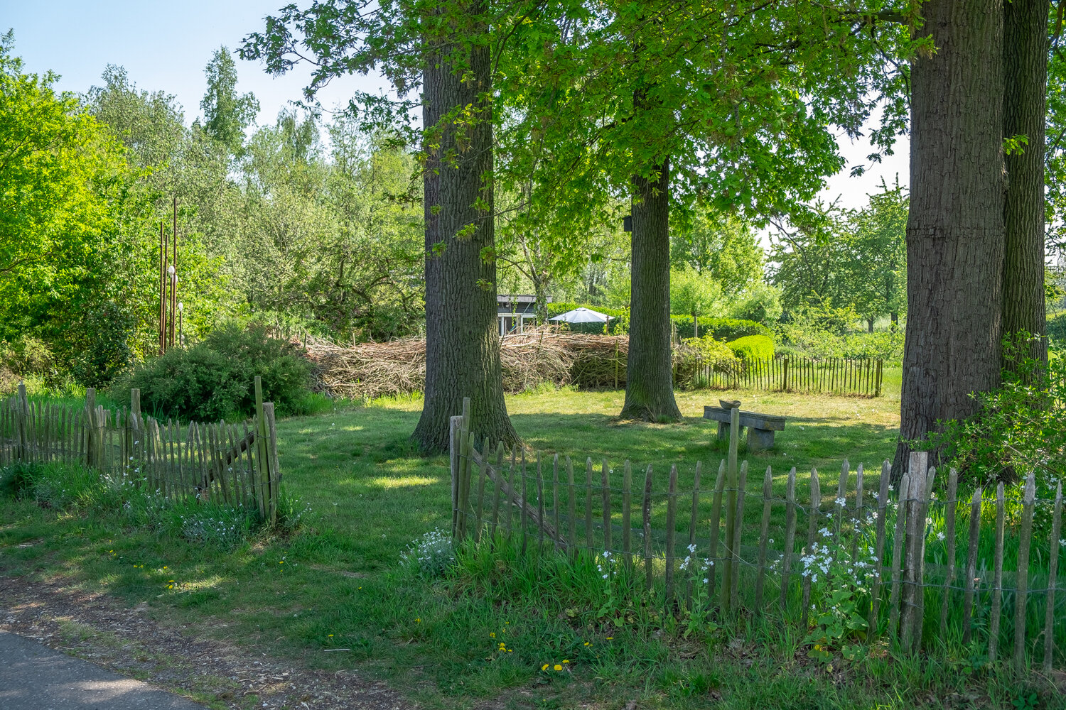
When you have crossed this bridge you will walk past the garden of Kapittelsbos.
Kapittelsbos in Grathem has been in the hands of Jackie's (the current owner) great-grandparents since 1905. From a mixed farm it has been transformed into a recreational and cultural farm for meetings and holidays.

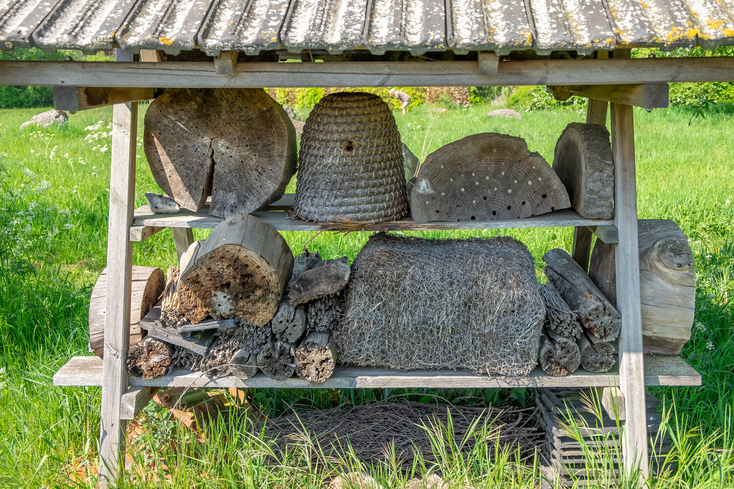
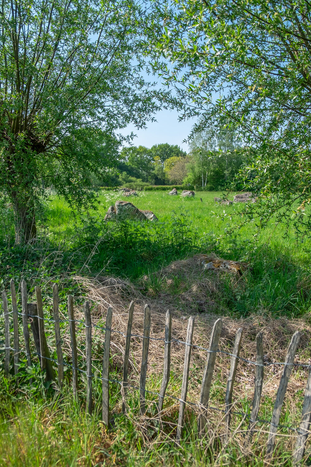
The boulders of Maiella (Italy) have been in this garden of the Uffelse and Haelen brook valleys since 2006. (Click on the photo’s below to get a better look at them) A kingfisher regularly appears here in this typical Leudal stream valley. The beaver is also active on the water's edge. A regional beekeeper places his bee colonies in the garden. The insect hotel attracts solitary bees and other insects and reptiles.

At the end of December 2013 there were two beaver castles/lodges under construction at the Uffelse Beek along the detour through Grathem. In the summer there is a chance to spot a beaver, especially at sunset and in silence!

16. We are continuing our walk…

17. Beautiful little painting like scene’s all around

18. We are about to enter the village again…

19. Just before entering town, is where we say goodbye to the “Uffelsebaek” as it makes a left turn, and we keep on the main road.

20. After entering the village again, you make a right turn and you completed your walk! You have reached the “Markt” again, the starting point of “Het Puinebrug Ommetje” the market square is a perfect place to park your cars, rest on the benches, or sit down with a cup of coffee before or after your walk through this beautiful village and natural area.

Here you can see the route, starting and ending at the Market Square, and leading you out of town, over the “Puinebrök” and where it takes you next to the “Uffelsebaek" and past “Kapittelsbos”

Thank you for joining me on this virtual tour, I hope you enjoyed it, and if you are ever in the area, let me know… and I will take you around. We can do this little tour together (when times allow for it again) If you enjoyed this blogpost, a like, comment and share is very much appreciated.

See you in Grathem!

Photographing in a foggy forest

A couple of days ago I went out on a early morning hike. Took my camera with me, and these are some the results from that day. The area I visited is local to me. I talk more about this trip in the video down below. Just scroll down to find the video. A like, comment and share would be really nice. Thank you for checking out my work. - Arjan

A short video following me as I go on a early morning hike and enjoy some landscape photography.

Ice cave tour in Iceland


On day three of the Photography workshop Páll Jökull and myself were giving we went on a trip to the Ice caves in Breiðamerkurjökull. This Ice cave tour was led by Siggi from “South East Iceland” The day started out being very windy, and almost a complete white out. Lots of snowy wind gusts limiting vision.

Arriving at the Jökulsárlón Glacier in the early morning with Páll and our own workshops participants we met up with Siggi and his big big big truck. On the tour we were accompanied by another small group of friendly photographers that were on a tour with Icelandic photographer Olgeir Andresson. A couple of hello’s, some hand shakes and then it was time to get into the truck, and head out. Into the vast, wide open. Towards the ice and the ice caves.

Siggi did an amazing job of driving the big truck with inflatable tires over the rugged terrain. It was a bumpy ride, but not as bad as I expected it to be. Siggi also shared a bunch of interesting information about the glacier and the national park whilst we were making our way towards the Ice caves. This was very informative and entertaining. His sense of humor more then once got the entire truck burst out into laughter. Best bumpy ride of my life.

Below you can see a selection of images of the tour, with some guiding information here and there.

The “Anaconda” Ice Cave

Páll Jökull shooting inside the cave together with the workshop participants.

Hi there, Páll captured me looking in, from the other side :)

The group of people we explored and photographed the cave with (Photo by Páll)

The shape of the Ice. Breathtakingly beautiful

Once at the Ice cave Siggi gave some clear instructions, shared some more information and knowledge about the area. And showed us how to go about entering and photographing the cave. Siggi took us to 3 seperate caves/locations where we had a good amount of time to enjoy the locations, and to be able to take our photographs. The fact that we had Siggi, Páll and Olgeir taking part in this tour, all being experienced in what they do and extremely pleasant guys to be around with it was obviously a very good experience. For me, but also for the whole group, How do I know? Because everyone was smiling from ear to ear, all the time. The atmosphere between the people in the group was amazing.

The shape and color of the Ice is just incredible

Páll taking in the beauty of the Ice cave.

Inside the Cave

The group at work

I just couldn’t get enough of Siggi’s big truck, look at those wheels!

Olgeir and Páll having a good time!

Siggi inside the Anaconda Ice cave.

Me, standing on top of a “frozen wave”

Cramp ons, necessary piece of equipment in this environment.

Photographers at work in paradise

Siggi, and the frozen walls of Ice

Ice, and untouched snow. It doesn’t get much better then this!

Blue, is just all I am going to say about this shot.

Páll and the group, having a great time on the ice.

Siggi and his truck.

I hope you enjoyed these images. And to end this blogpost I want to shout out to everyone who has made this Ice cave tour the succes it was.


download.png
 

Here’s a video I shot together with Páll of the Ice cave tour.

Tórshavn by mobile phone

In September I’ve spent 9 days in the amazing Faroe Islands. I have been travelling through the country, shooting some amazing stuff with my DSLR. But with modern technology so advanced and available for everyone it made sense to take some snapshots with my Iphone. Like basically everyone would do right?

Below is a selection of shots that I’ve taken with my Iphone, in the capital city of the Faroe Islands. Tórshavn. You can easily go about capturing this small, but super cosy and amazing city with your mobile phone. A great picture doesn’t necessarily need to be taken with and expensive and professional camera.
Not at all. (technical) Quality matters, but not always. In my eyes, composition and “feel” is key to a great photograph. Tórshavn is so pretty, and photogenic that you will find lots and lots of good compositions and perspectives to snap a very nice photo with your mobile phone.

Have a look at the ones I took!

Down by the water at Tinganes. Kneeled down to get a little bit more of the water in the foreground in the frame.

Down by the water at Tinganes. Kneeled down to get a little bit more of the water in the foreground in the frame.

Very famous spot among photographers, in the heart of Tórshavn. Tórshavn Cathedral and Bryggjubakki street (left) and Undir Bryggjubakka street (right) at the centre of the city

Very famous spot among photographers, in the heart of Tórshavn. Tórshavn Cathedral and Bryggjubakki street (left) and Undir Bryggjubakka street (right) at the centre of the city

Tórshavn by night. This was the street I stayed on during my visit.

Tórshavn by night. This was the street I stayed on during my visit.

Narrow streets, down by Áarstova. One of the best restaurants in The Faroe Islands.

Narrow streets, down by Áarstova. One of the best restaurants in The Faroe Islands.

Old, new, big and small… all types of boats in the harbors of Tórshavn.

Old, new, big and small… all types of boats in the harbors of Tórshavn.

SMS, the shopping centre in Tórshavn. And the biggest in The Faroe Islands

SMS, the shopping centre in Tórshavn. And the biggest in The Faroe Islands

Typical street scene in Tórshavn

Typical street scene in Tórshavn

I just can’t get enough of how cool these houses look!

I just can’t get enough of how cool these houses look!

Tinganes, the old and very cozy area of Tórshavn. Tinganes is the historic location of the Faroese landsstýri (government)

Tinganes, the old and very cozy area of Tórshavn. Tinganes is the historic location of the Faroese landsstýri (government)

Romantic and beautiful, Tórshavn is both!!

Romantic and beautiful, Tórshavn is both!!

Typical and beautiful Faroese houses.

Typical and beautiful Faroese houses.

Hey, this street smells like fish… makes sense!

Hey, this street smells like fish… makes sense!

View on Tórshavn, seen from the town/area of Argir.

View on Tórshavn, seen from the town/area of Argir.

The amazing people at Visit Faroe Islands will provide you with all information and details you need.

The amazing people at Visit Faroe Islands will provide you with all information and details you need.

Lots of cozy coffeehouses to take a break, and enjoy the city, staring through the windows.

Lots of cozy coffeehouses to take a break, and enjoy the city, staring through the windows.

Skansin is a historic fortress in Tórshavn. And it has a nice lighthouse

Skansin is a historic fortress in Tórshavn. And it has a nice lighthouse

Thank you for checking out my images. Keep in mind, all these shots were taken with an Iphone. They were edited on an Iphone as well. With the VSCO app. That lets you apply certain looks and feel to a photograph, and gives you control over some basic edit tools as well.

It also supports RAW files. So you can also transfer your DSLR images to your app, and edit them on your phone, on the go, very modern, very nice.

The Faroe Islands: 3 Photographs

Gjógv

Gjógv is a village located on the northeast tip of the island of Eysturoy, in the Faroe Islands and 63 km (39 mi) north by road from the capital of Tórshavn. The village was named after a 200-metre (650 ft) long sea-filled gorge that runs north to the sea from the village. You can see the gorge on this photograph. And even though the weather wasn’t all that I still decided to go up on the hill that overlooks the town. I slid down and fell on my face a few times, but that did not stop me from enjoying this amazing view.

Gjógv, I got dirty and soaking wet, slipped and fell on my face a few times. But I just had to get up here to take this shot.

Gjógv, I got dirty and soaking wet, slipped and fell on my face a few times. But I just had to get up here to take this shot.

Kópakonan

The legend of Kópakonan (the Seal Woman) is one of the best-known folktales in the Faroe Islands. Seals were believed to be former human beings who voluntarily sought death in the ocean. Once a year, on the Thirteenth night, they were allowed to come on land, strip off their skins and amuse themselves as human beings, dancing and enjoying themselves.
More about the saga right here: Visit Faroe Islands

Kópakonan (Seal Woman)

Kópakonan (Seal Woman)

Syðrugøta

At first I had this photograph up on my site, saying it was the town of Leirvik. But I was contacted by a friendly Faroese lady that told me that the village on this photograph was not Leirvik, but Syðrugøta. So I was wrong at first. Thank you correcting me misses! Many believe that the great Viking, Tróndur í Gøtu lived and had his headquarters in Syðrugøtu, among many reasons why, is because of the good view he would have had out to the horizon and the short distance to his fleet, stationed Undir Gøtueiði. There are still many unexcavated ruins of centuries old farmhouses buried in the ground in Syðrugøtu. Another fun fact about Syðrugøta: The famous Faroese singer Eivør Pálsdóttir was born here

Syðrugøta

Syðrugøta