Svalvogavegur / Road 622 - Westfjords Iceland

Svalvogavegur is a 49-kilometer-long section of road that goes from Þingeyri in the Dýrafjörður out towards Hrafnseyri in the Arnarfjörður in the Westfjords area in Iceland.

Some say it’s the most terrifying road in the country. But it is an insanely beautiful route to take with the road carved into and under cliffs and great mountain views all the way. To drive on this road you need a 4x4 with high ground clearance. It's a loose rocky track, and sometimes muddy. Rough gravel, and even mud, and you have to go on low tide on the south part of it. Remember that inexperienced drivers can easily lose control of the car on unpaved roads.

A large portion of it is also below sea level when the tide is high. Expect to be alone, this track is not very busy. It is not recommended to drive unaccompanied. In case of a breakdown, there is very little in the way of passing traffic or inhabitants around, and no cell phone service in parts. In case of a problem you have to be self-reliant. The weather can change very rapidly and driving conditions therefore too. Thunderstorm activity can quickly change unpaved roads to impassable. The lowest lying parts of the route are usually washed away in winter storms and it is only open a couple of months, from spring through to the first storm.

My friend Eyþór Jóvinsson lives in Flateyri, not too far from this area, and while my friends and I were staying with him in August 2020 he recommended us doing this daytrip since we had a big 4x4 available to us. We had beautiful weather, so off we went!

Now, lets take a look at what you will get to see and experience on this adventure

The town of Þingeyri is where the 622 road starts (or ends) It is where I started the roundtrip. Pick up some food and drinks at the local gasstation.

The town of Þingeyri is where the 622 road starts (or ends) It is where I started the roundtrip. Pick up some food and drinks at the local gasstation.

The beautiful Dýrafjörður is your backdrop for the first bit of your trip. Make sure to take it slow, and take in the views!

Just outside of Þingeyri you will see beautiful mountains, mountain streams, and green and lush valleys in Haukadalur

Taking a moment to enjoy the beautiful Dýrafjörður. This is a few minutes after taking off on the roundtrip.

No shortage of amazing looking mountains during this trip. You will want to take a moment to stare in awe, and photograph them.

No shortage of amazing looking mountains during this trip. You will want to take a moment to stare in awe, and photograph them.

Things are getting a bit more serious when you are about to go around the corner, and head for the southern part of the road.

Driving here is absolutely fun, impressive, sometimes a bit scary, humbling, insanely beautiful but most of all really fun!!

This view of the Dýrafjörður is one I couldn’t get enough from. I mean just look at how pretty this is, you agree with me right?

Sketchy bit of road. Narrow, big drop below. Take it slow. This section will test your nerves for sure. Quite the adventure!

Just look at this. This section of the road is definitely one of the most impressive highlights of the trip.

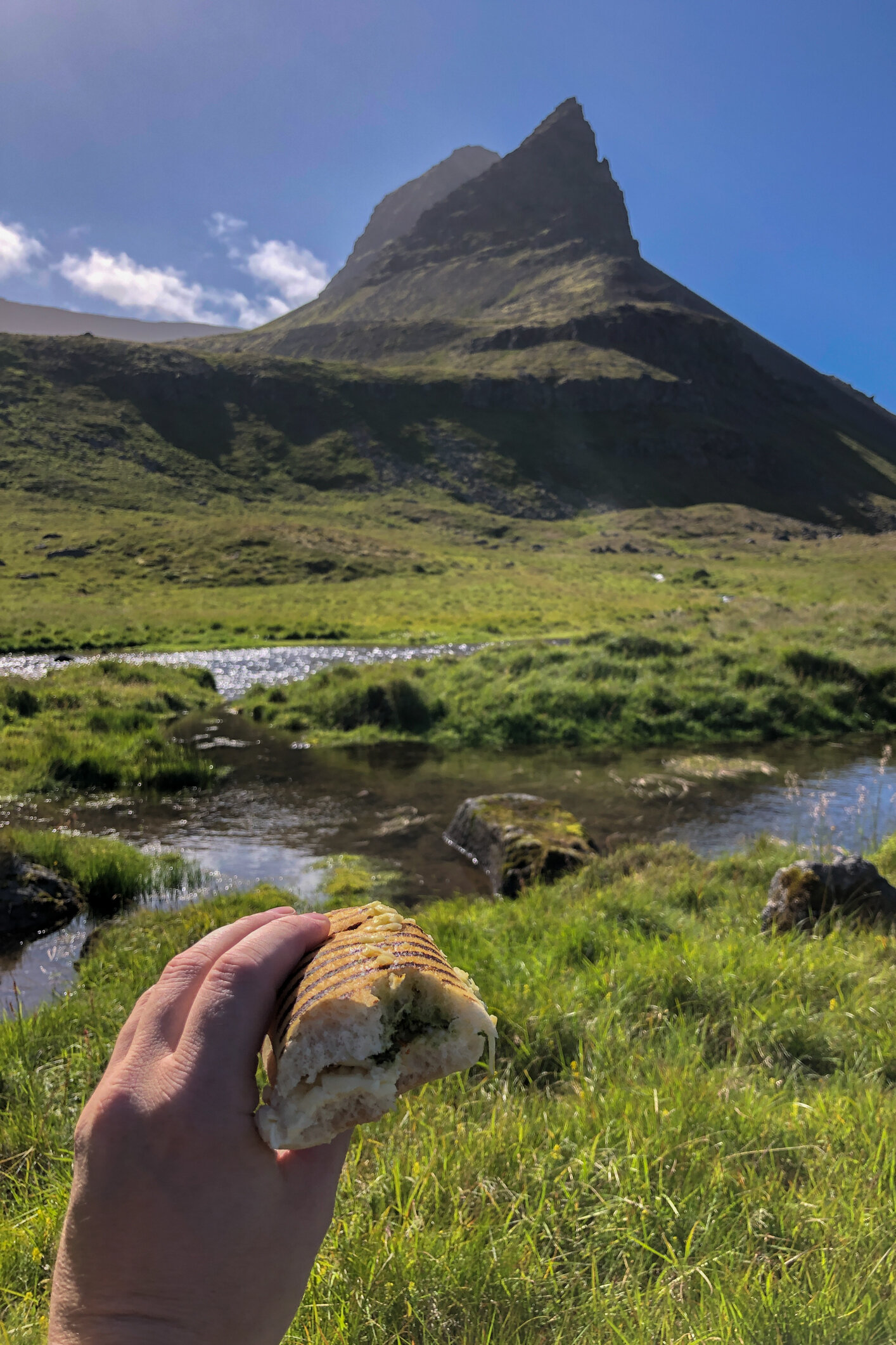
When you are about to reach the Westernmost point of the trip, there’s a nice little place to take a break called Höfn. Sit down in the grass, relax and eat lunch. There’s one little holiday home with a barn in the middle of nowhere. Just park the car in the grass, and enjoy being in such a beautiful and remote place with beautiful views all around.

After leaving Höfn, you will get to Djúpidalur. And find some very interesting and beautiful rock formations on the coastline.

A true paradise. Beautiful rocky cliffs. And Skagafjell mountain with a nice layer of fog on top of it in the distance.

Svalvogarviti. A 6 m (20 ft) square concrete tower lighthouse. That has two long flashes every 20 s, white, red or green depending on direction

After passing the lighthouse you will see this abandoned farm. Abandoned farms are everywhere in Iceland. And a lot of them are in the Westfjords. This farm is called Svalvogar. The place this road is named after. With a total population of around 7000 people in the Westfjords area and that number still decreasing it comes as no surprise that you will find plenty of abandoned farms and houses. People have often left the area in search for (more) work in Reykjavik or other less remote areas in the country.


Photo from Icelandmag.is

After leaving the abandoned farm you get to the most interesting part of the trip, and possibly the hardest part to drive. But for sure also the most impressive and beautiful part. This section of the road disappears into the sea at high tide. So its really important to have some understanding (or ask a local before you set out to go) of when the tide is low and the road is passable.

You don’t want to end up getting stuck here. No phone reception, and the rising ocean will just sweep the car off of the road, drag it out into the ocean and smash it into the cliffs. There’s been several accidents like that here. And it will cost you a lot of money and trouble to have a rescue team to come and get you. This is the part of the trip were you really have to respect nature, and keep an eye out for the conditions.

This photo shows a wrecked rental car. Clearly not a suitable 4x4. As a result it was dragged into the ocean and totally destroyed.

So please, once again… if you want to drive and experience this road…

  • Only drive it with a suitable 4x4, A bigger jeep with bigger tires would be the best. A smaller 4x4 will NOT be a good option here

  • Go in Summer, don’t even think about driving this road in the winter. It becomes completely impassable. Covered in snow and ice.
    If there has been heavy rain driving this road is a no go too. The slippery and muddy track is just asking for trouble.

  • Let a local know you are going to drive this road, and even exchange phone numbers… just in case

  • There’s no phone reception on large parts of the trip. And if there is, it will be very bad. So just take care, and pre-plan every step and corner. No need to rush here. You want to take in the sights anyways. And this trip requires your full attention on the driving and safety part.

  • I can’t stress enough to take it easy and slowly. This is a full day trip. Take your time and enjoy.


Alright, with those important reminders out of the way. Lets look at how beautiful this part of the road is. Absolutely one of, if not the highlight of the roundtrip. Driving a rocky and narrow path, right by the sea. Miles away from civilization. Cliffs, mountains, waterfalls, seabirds and fjord views are the only thing on your mind when driving here. Spectacular!

The perfect way to end the trip is to have a coffee and cake over at Hrafnseyri.

Hrafnseyri is an old town in the Westfjords that dates back to the Settlement Era and has links to Iceland’s independence movement.The settlement is named after one of its earliest residents, Hrafn Sveinbjarnason, who lived here in the 12th Century.

He is not the area’s most famous child, however; it was also the birthplace of Jón Sigurðsson, the father of Iceland’s push for independence from Denmark.Although Jón never lived to see his dream of a free nation pan out, he is still revered nationwide.

At Hrafnseyri, there is a museum dedicated to him and his efforts, aptly called the Museum of Jón Sigurðsson. To add to the historic ambience that imbues this village, there is a cafe within an old turf-roofed building.

I’ve also recorded this video with my drone that you can see here below. Showing you snippets of the road, and the crazy beautiful surroundings of the Svalvogavegur. Check it out and be blown away by the beauty of the nature in Dýrafjörður and Arnarfjörður.

You can now probably see and understand why the Westfjords is my favorite part of Iceland. So pristine, raw and true Icelandic.

Thank you very much for reading this blogpost, if you have any questions about the Svalvogavegur road experience feel free to send me an email, or through social media. I am happy to answer your questions.

This blogpost has been made possible by MyCar Rental. Exclusive and high quality, no nonsense Toyota car rental in Iceland.

Thrainn Kolbeinsson: Free for all, my edits.

My friend Thrainn Kolbeinsson from Iceland has put up a bunch of his RAW files on his website. All RAW files of photographs that Thrainn took. But you can get your hands on, and edit.

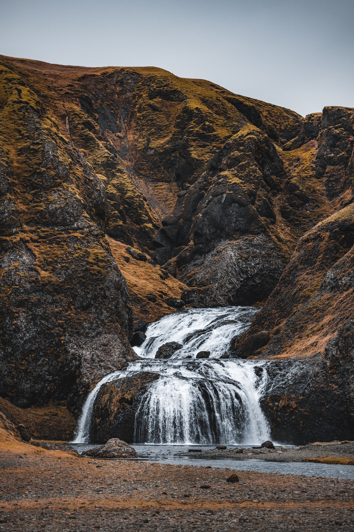
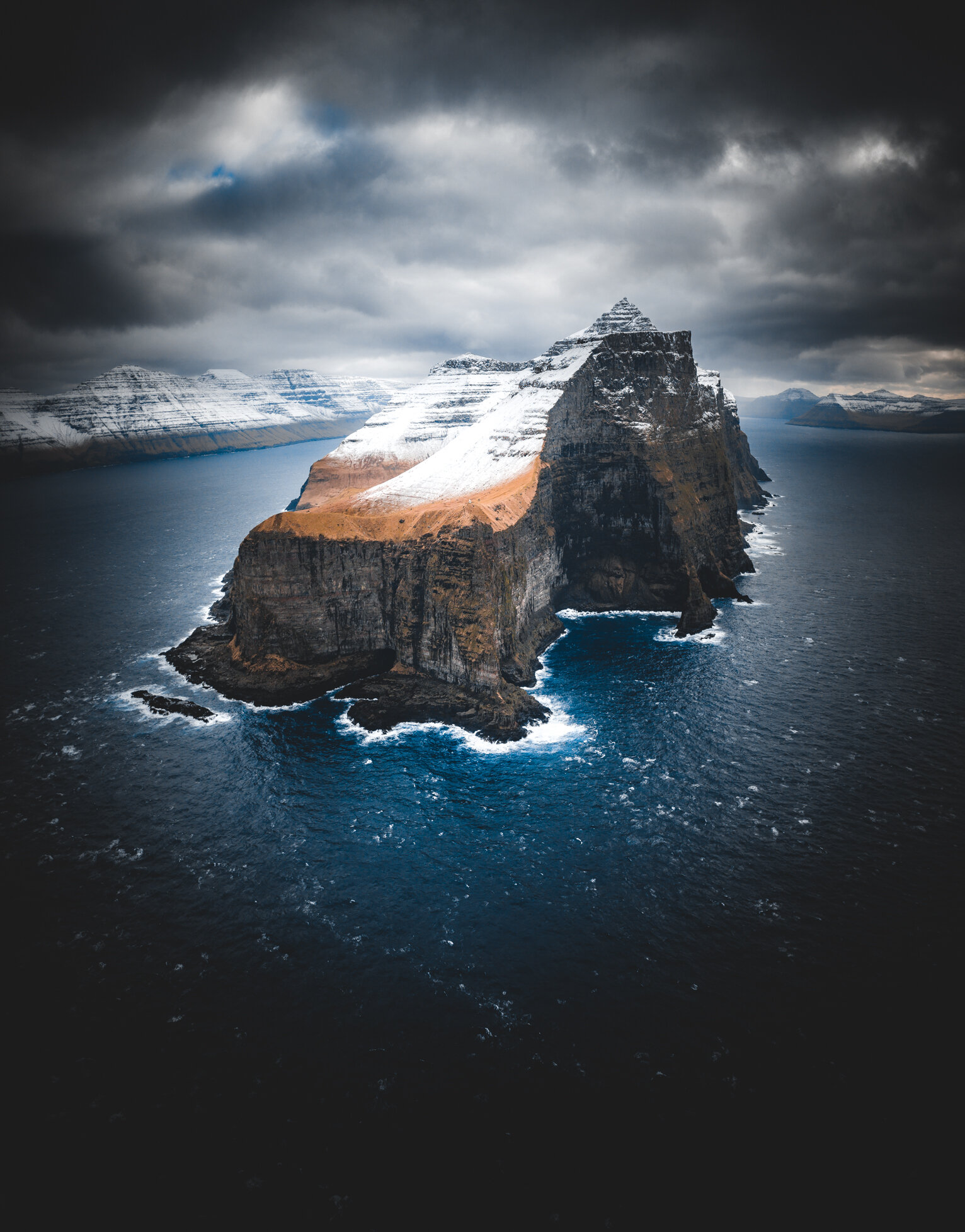
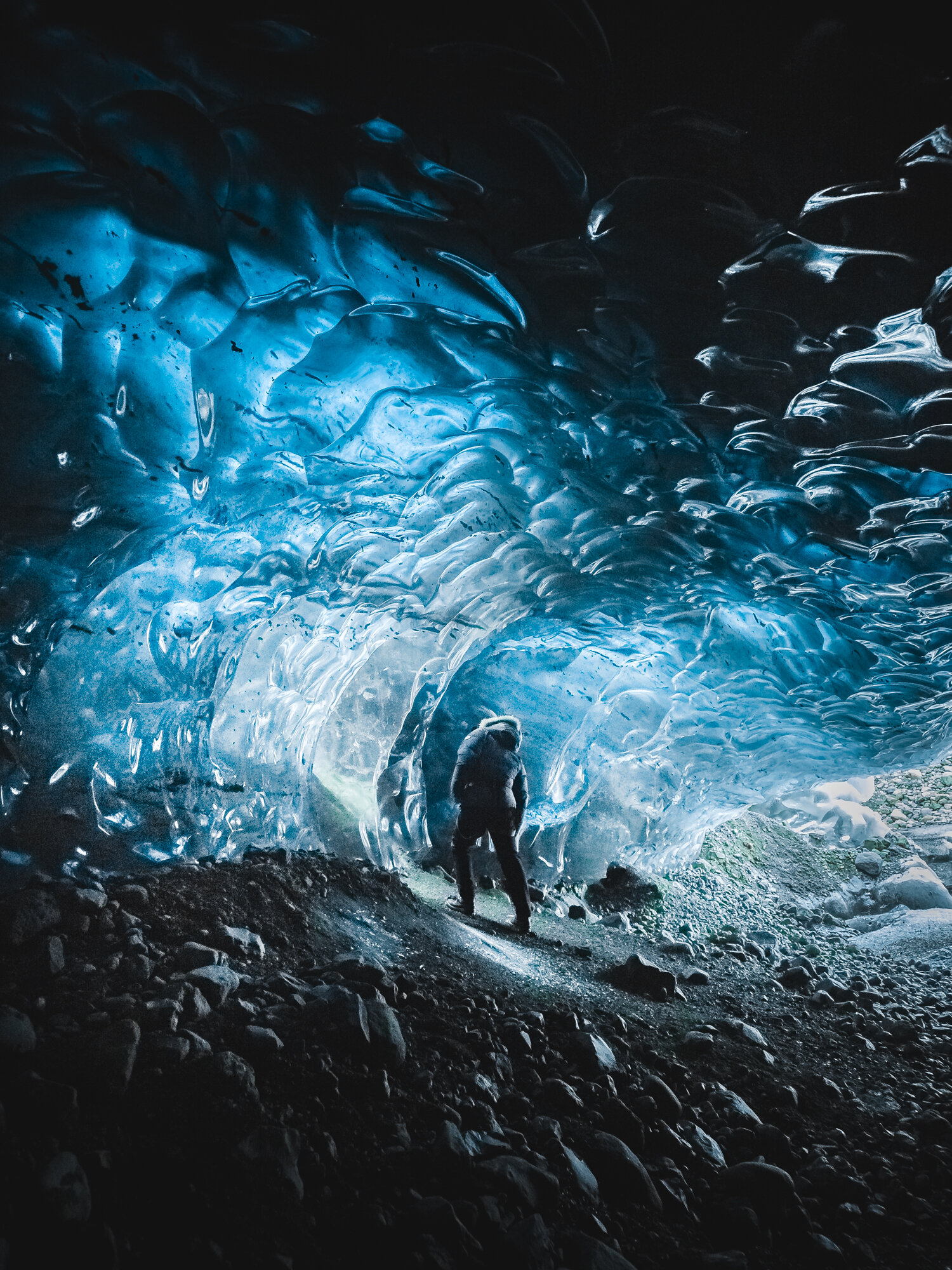
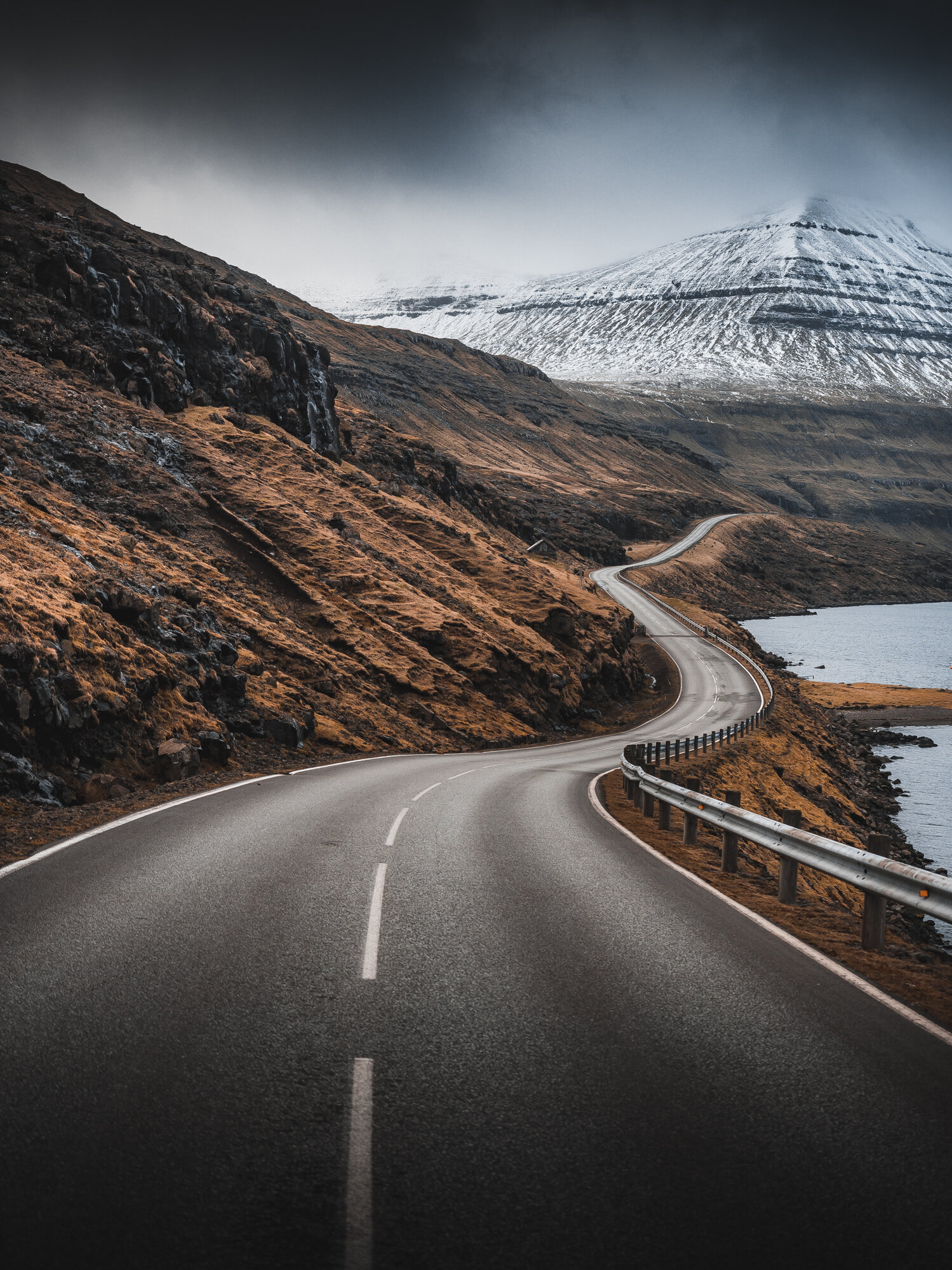
Its of course very interesting to see someone else play around with your RAW files, and give their creative interpretation to your photographs. I really liked this idea, so that is what I’ve done here. I’ve edited the following of Thrainn’s photographs.

*Make sure to click the photographs to see it in its original aspect ratio!!

Go give Thrainn’s website and instagram a visit and a follow, he is a super talented photographer as you can see from these images below.
You can find him on: https://thrainnkolbeinsson.com and https://www.instagram.com/thrainnko

Around Patreksfjörður, Iceland

Patreksfjörður is a fishing village, with about 650 inhabitants, located on the north side of the eponymous fjord. It is one of the oldest trading posts in the Westfjords. In this fjord the first potatoes were grown in Iceland in the 18th century. The main source of existence in Patreksfjörður is the fish processing industry. But tourism also plays an increasingly important role, the beauty of the region attracts many tourists. This is not surprising, because the fishing village has gems such as the Látrabjarg cliffs, Rauðasandur beach and the Dynjandi waterfall nearby.

Garðar BA 64

Just outside of Patreksfjörður there is quite an interesting site. A Shipwreck. This Icelandic ghost ship, the ‘Gardar BA 64’ is the oldest steel ship from Iceland. It was built in 1912 by a Norwegian shipyard and used for whaling in the Icelandic waters. The ship has been beached for years and is now a rusting ruin. 
The ship, originally known as the ‘Globe IV’ was a state-of-the-art whaling vessel. The hull was specially reinforced to break through the icy Southern seas. During its active lifetime it was sold around to a number of different countries before finding an Icelandic owner in 1950. It was renamed ‘Garðar’ and it was used or fishing herring.

In 1981 the ship stranded at Patreksfjörður, one of the fjords in the north-west of the country. In fact the ship it is still there today. The Icelandic ghost ship is slowly rusting away.


Látrabjerg

Perhaps one of the best known places in The Westfjord area is Látrabjerg. About an hours drive from Patreksfjörður, well that is if you have a decent car for the trip. The road out there can be quite bad and rough. A 4x4 or bigger SUV is ideal for this road.

Látrabjarg is a headland, cliff and the most western part of Iceland and is also seen as the most western part of Europe (ignoring some islands of the Azores). The cliffs are inhabited by millions of birds, including puffins, gannets, guillemots and razorbills. It is of vital importance for their survival as it is home to up to 40% of the world's population of some species such as the razorbill. It is Europe's largest bird cliff, 14 kilometers long and up to 440 meters high.


Hjnótur

The previous farmer of the farm Hnjotur, Egill Olafsson († October 25th 1999) spent a large portion of his life collecting various items and articles of local and national historical importance for his museum. His interest and emphasis was for many reasons oriented towards the aviation history of the country. This museum is among the most interesting in the country and well worth the visiting. The museum also has very interesting setups from local history. Where can you see an old Viking ship, Russian airplane, a preach preparing to burry, old technology a lot of other things in the same little museum.

Dynjandi

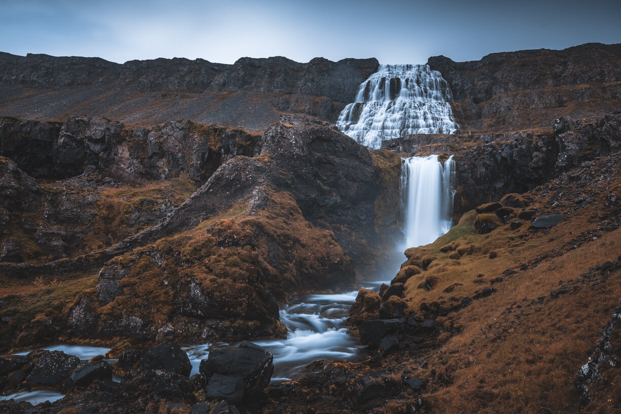
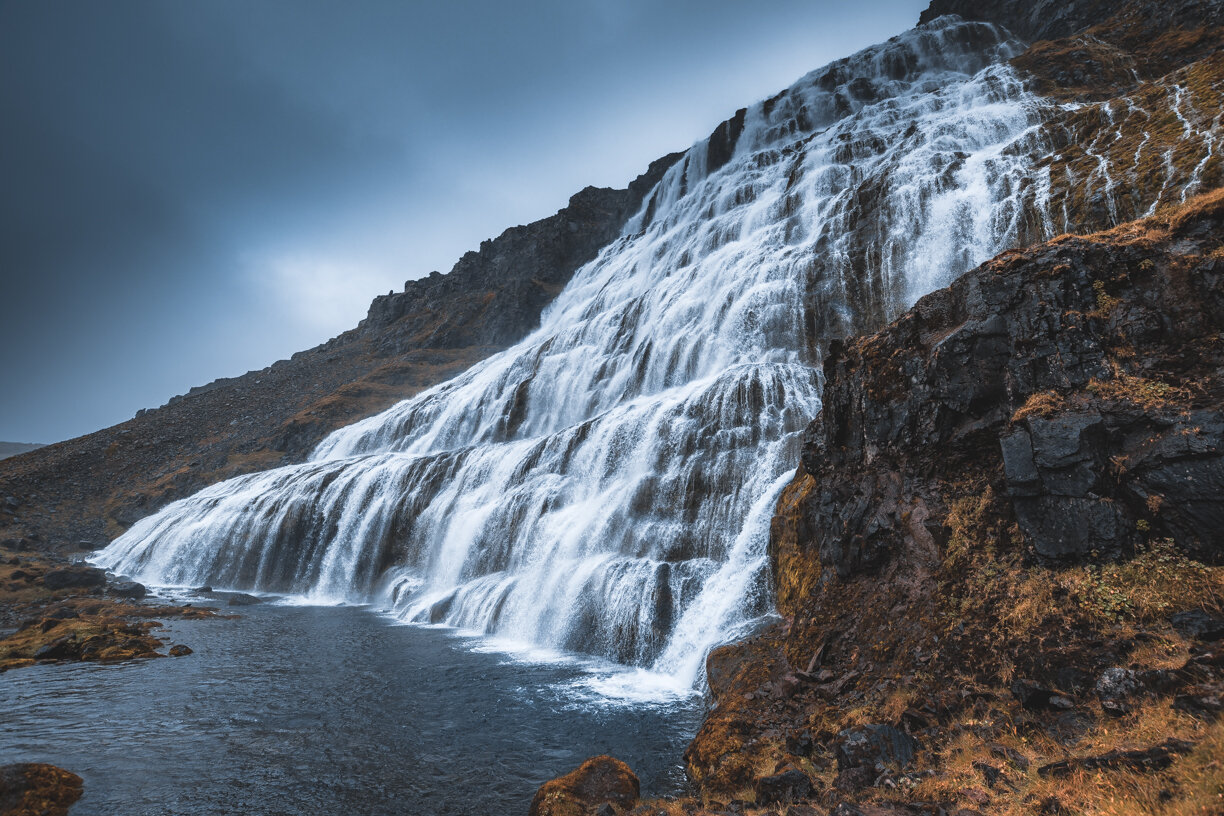
Driving up north from Patreksfjörður will get you to the amazing Dynjandi waterfall(s). It is about a 1,5h drive one way. Water flows from the Dynjandisheiði plateau into the Dynjandisá river and then cascades down into the Dynjandi waterfall, also called Fjallfoss. The Dynjandi is the largest waterfall in the Westfjord area of Iceland. And it is a stunning location to spend some time photographing, and admiring the natural beauty and raw power of mother nature.

The waterfall is no less than 100 meters high, 30 meters wide at the top and about 60 meters wide at the bottom. The other six waterfalls further downstream are the Hæstahjallafoss, the Strompgljúfrafoss, the Göngumannafoss, the Hrísvaðsfoss, the Hundafoss and finally the Bæjarfoss. There is a footpath from the parking lot to the waterfall.

Thank you for checking out my blogpost, feel free to share this on your social media. And leave me a comment and a like. I am always looking forward to connect with my followers.

Video: The Old Bookstore, Flateyri, Iceland

The Old Bookstore, "Gamla Bókabúðin" in Icelandic is located in the charming Westfjords village of Flateyri. Eyþór Jóvinsson runs the bookstore, founded by his great-grandparents in 1914. He is the fourth generation to run the family business.

The Old Bookstore has been turned into a museum where the history of the village is displayed. Visitors can also buy second hand books and visit the old merchant’s home.

The owner Eyþór, is a good friend of mine. He also runs the Iceland Comedy Film Festival that I’ve photographed a couple of times before. And a couple of years ago I was the behind the scenes photographer for a shortfilm production Eyþór was working on.

My first visit to Iceland was back in the summer of 2016, and that is where I did meet Eyþór for the first time. In his bookstore. Now after a few years have passed I have been to Iceland for about 8 times. Many of these visits were collaborating and meeting up with my good friend Eyþór. Safe to say that I am very grateful for him working with me. And therefore I thought this video was a nice way and gesture to say “thank you my friend”

There is an Icelandic version from back in 2015 of this video on Youtube, filmed by Visit Westfjords, which you can see here. Behind the scenes photographs by Tom Reinders

The Old Bookstore seen from the harbor. The store is on the right, and on the left is the apartment.

The beautiful town of Flateyri, my all time favorite place in Iceland without a question.

Valahnúkamöl - Iceland

In the south of Iceland, close to the airport you can find this amazing place called Valahnúkamöl. Which is often overlooked, and therefore not visited a lot. Although I think its getting more visitors recently. During my first visit here I was the only person around. But this might be because of the weather. It was pouring down rain. These 3 images are from that first visit. July in 2018. What was supposed to be a nice summers day turned into this grey, cold and wet day. But this is Iceland. And, I don’t mind these conditions at all. I even prefer this over sunny weather.

Valahnúkamöl is an impressive place to hang out. Sea stacks and tall sea cliffs, shaped by the Atlantic ocean and its storms. To me this is one of the most amazing places in all of south Iceland. I love coming back here every time I visit Iceland. In the distance you can see the rock, called “Karl”.

There’s quite a few photo’s out there where there’s a person standing on the shore, and with “Karl” in the background. And guess what? Yes, I have that one too. My friend Þráinn Kolbeinsson from Iceland was kind enough to pose for me, as you can see on the photo below. This photo was taken during another trip. When the conditions were slightly better, but still, very very rough as you can see. Just how we landscape photographers like it.

Be sure to check out Þráinn’s work, he’s an amazing photographer located in the south of Iceland. Check out his work here: https://www.facebook.com/thrainnko

Thanks for checking out my blogpost, feel free to follow me on instagram: @dedicationphotography and subscribe to my youtube channel where I upload my travel and photography experiences every now and then.