

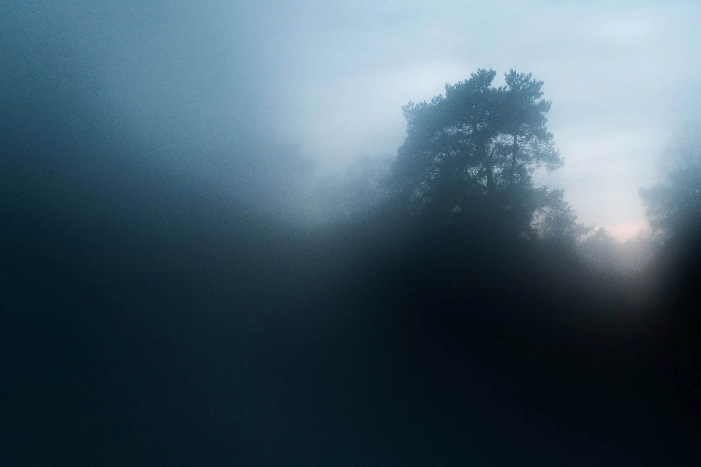


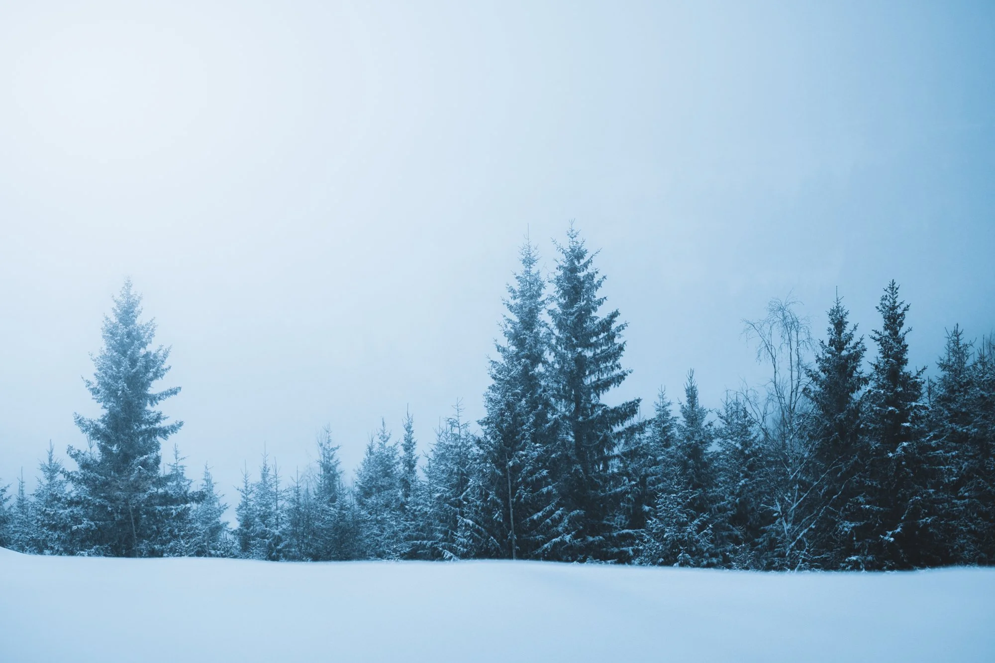


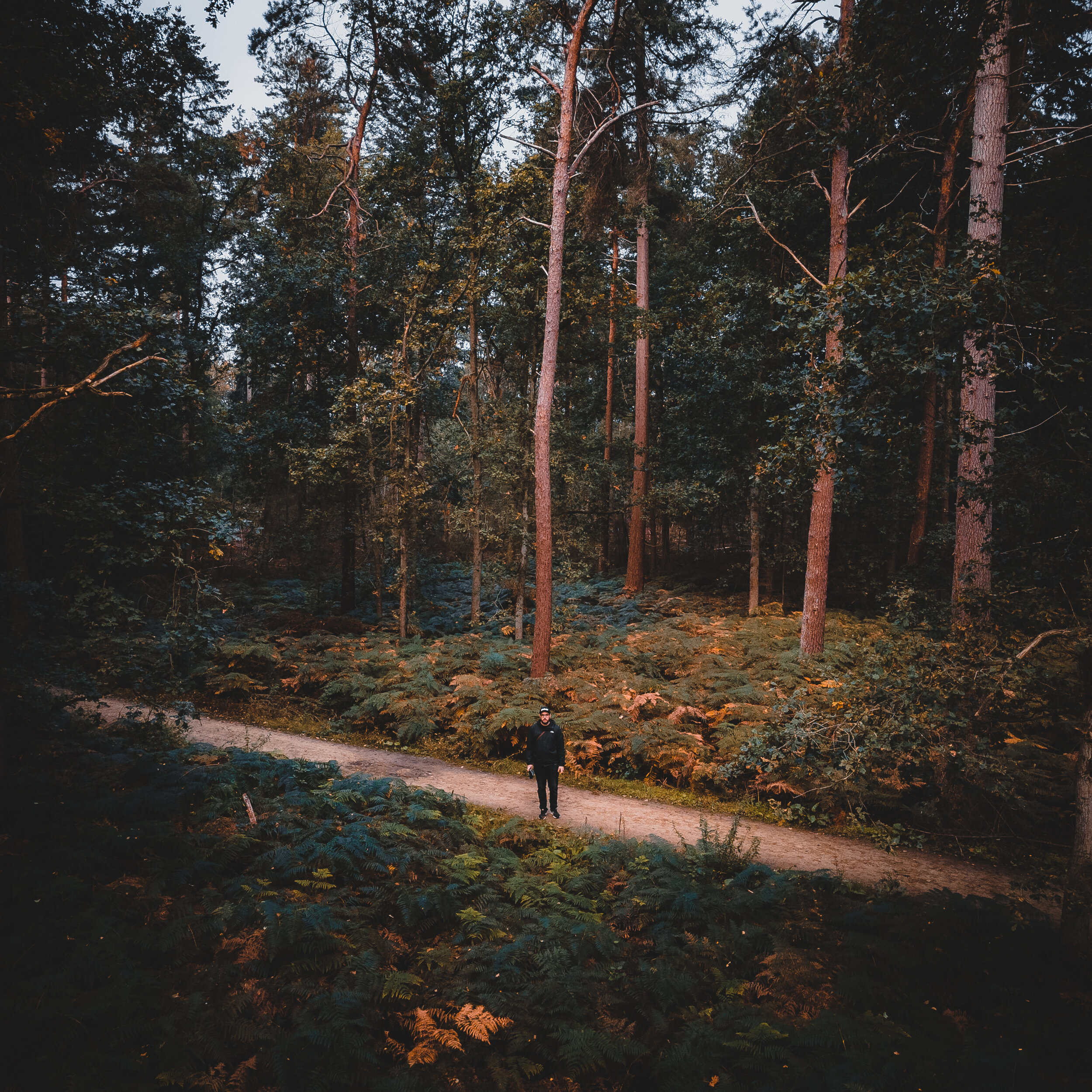
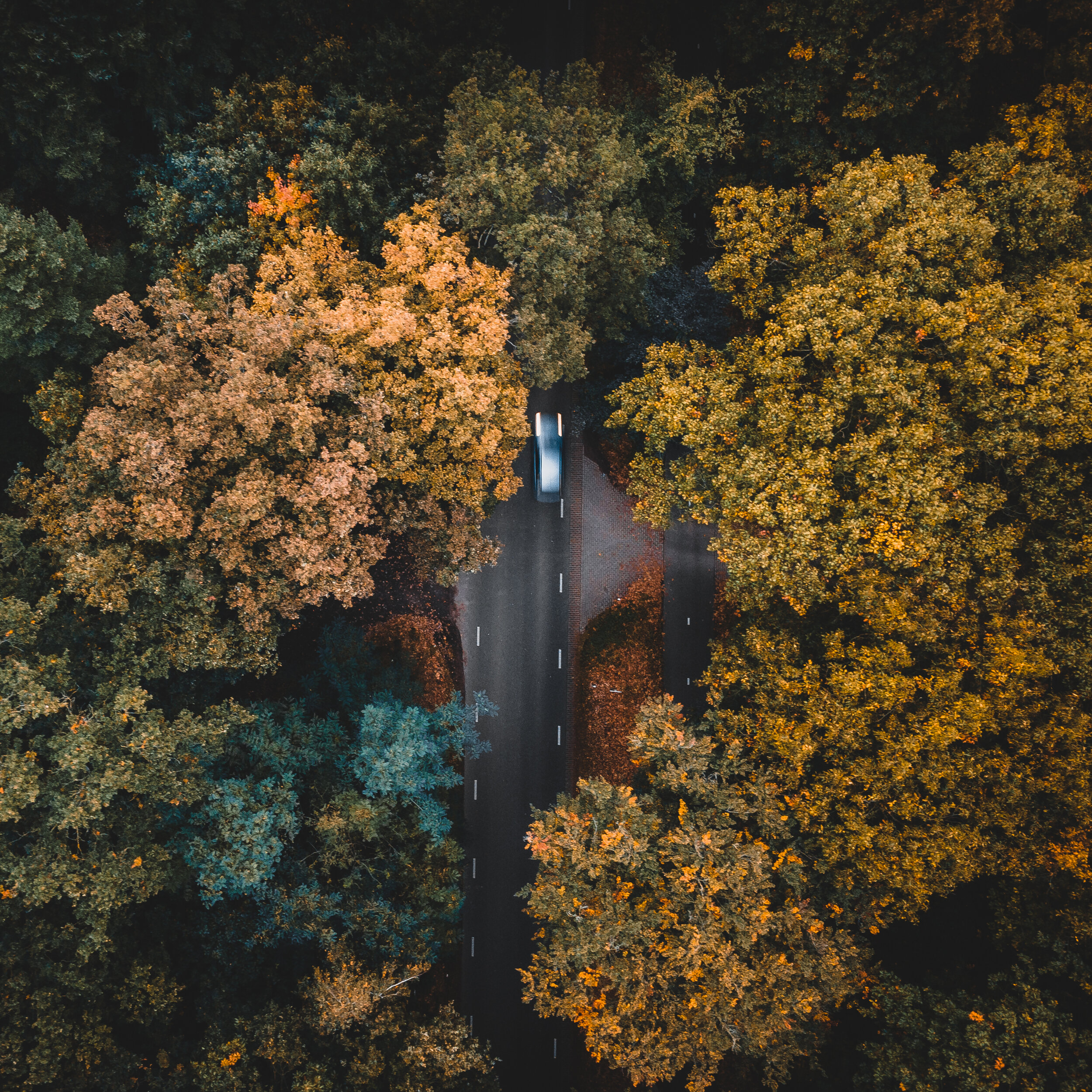
This blogpost contains just a bunch of nice snapshots that I took with my drone and Iphone today whilst out on a little walk with junior. He just loves the forest, and its so refreshing to see him explore all things new to him. He’s just walking around while I snap some shots and fly my drone. Stays close to me but is busy discovering lots of things. And to do all this in a nice place with these beautiful autumn colors is an absolute bonus. I love this time of year!
Enjoy checking out the pics below, thank you for being here.


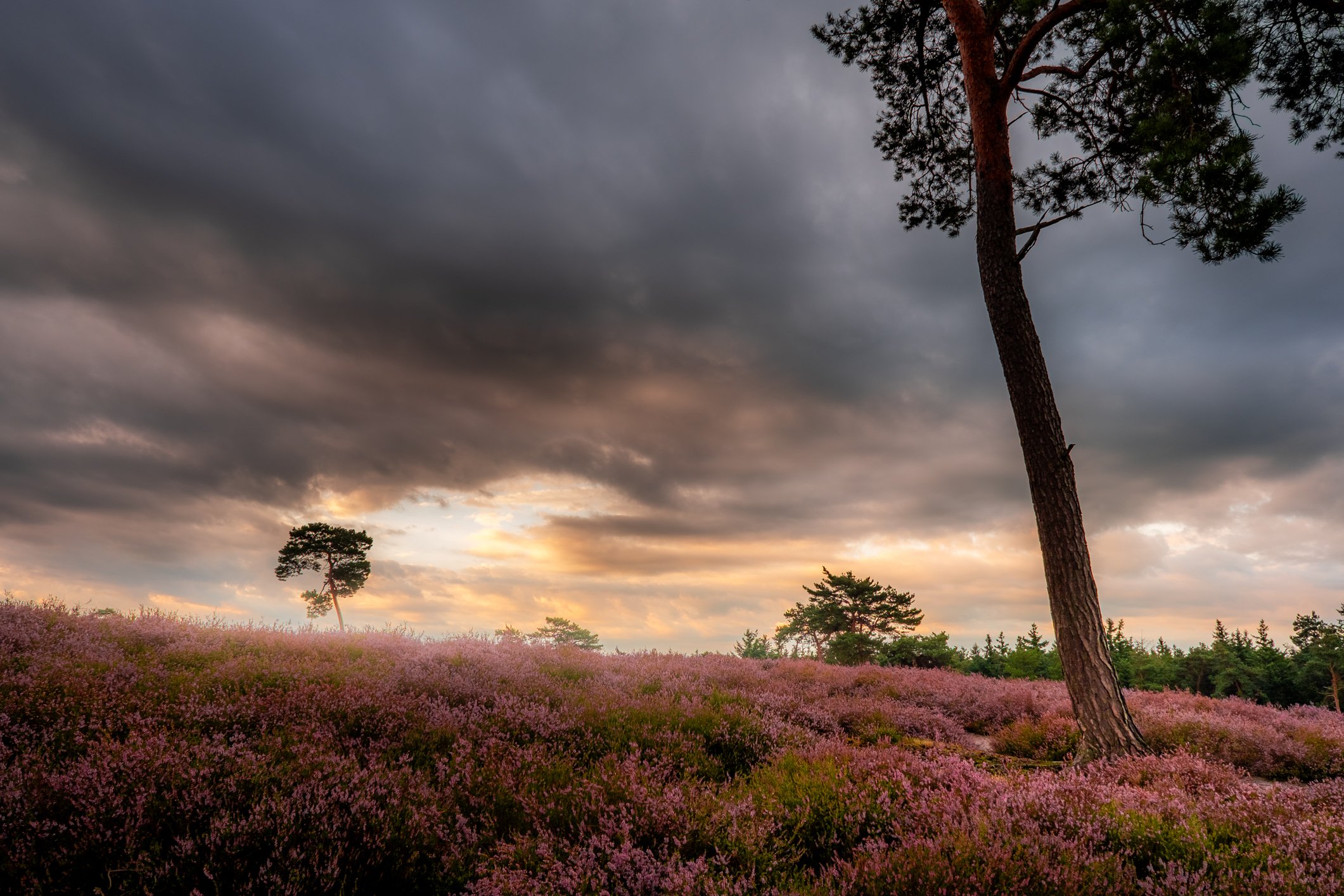
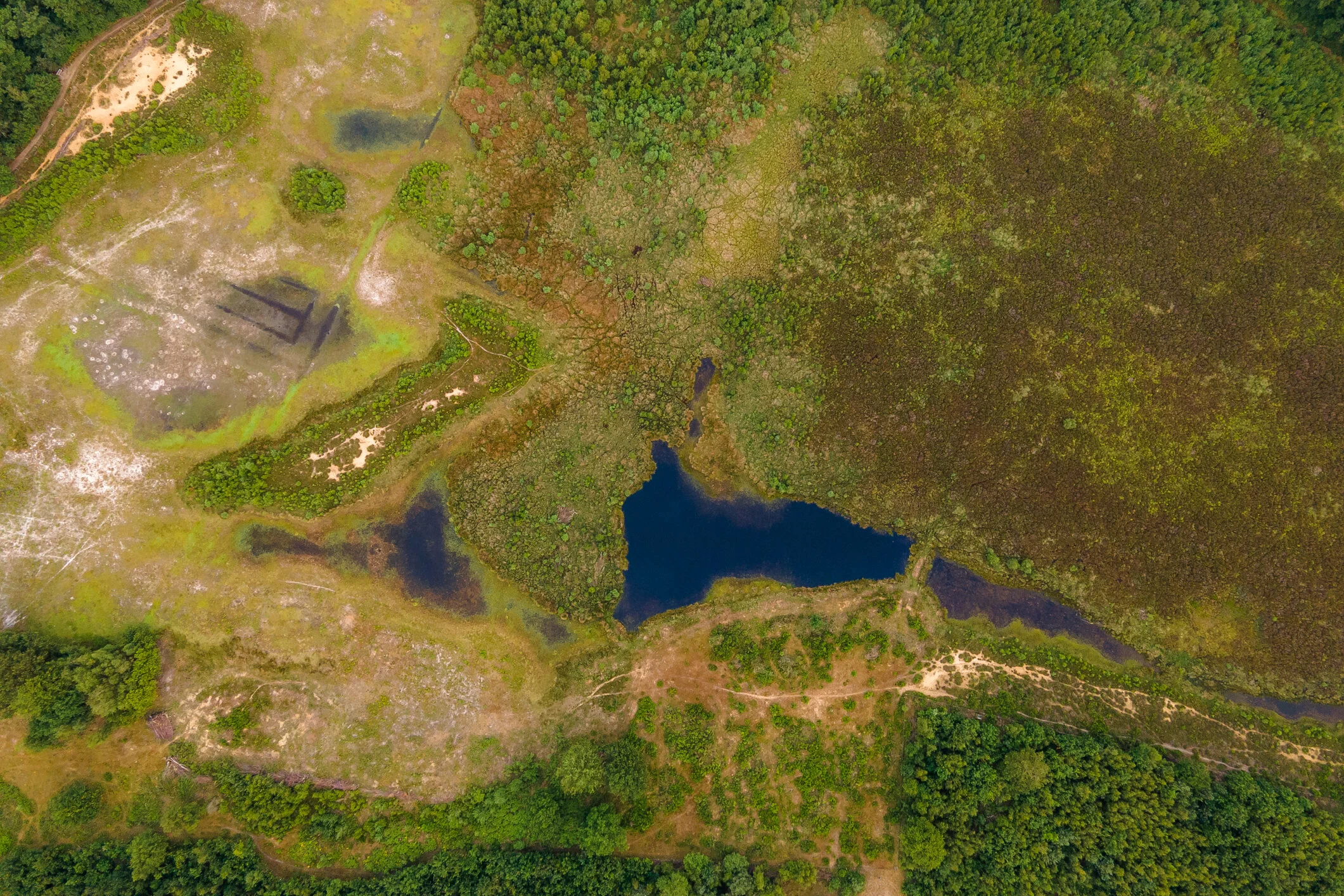
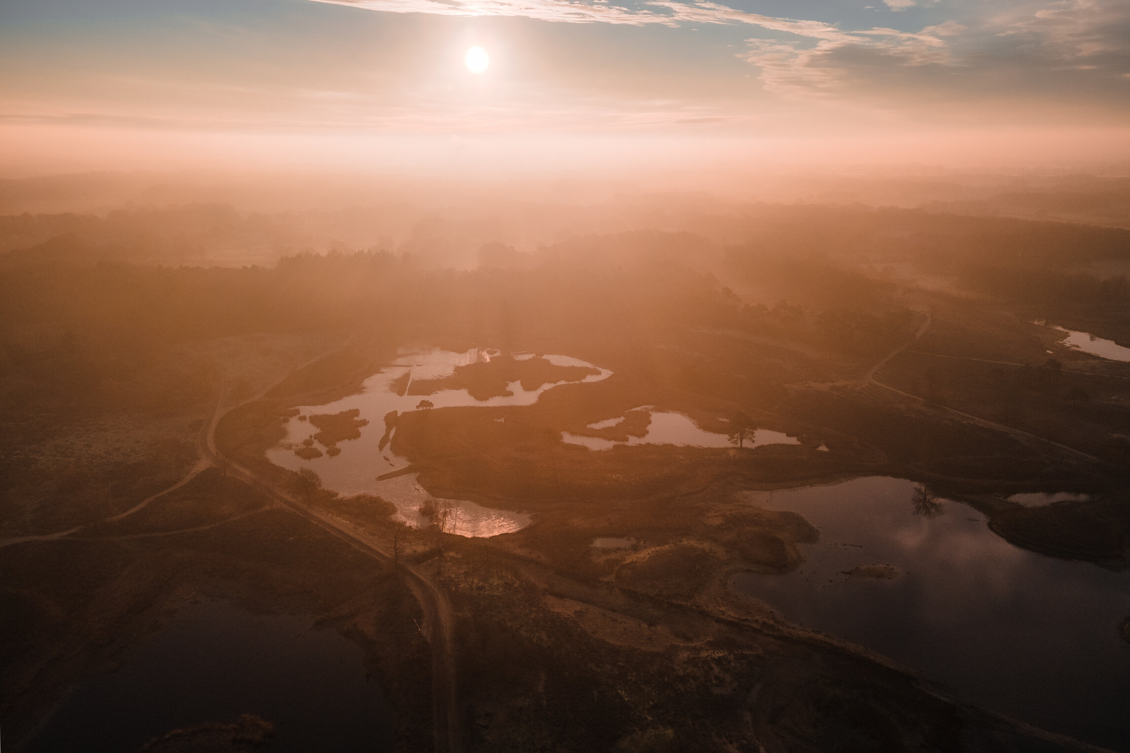
Drone Photography - The Tuspeel
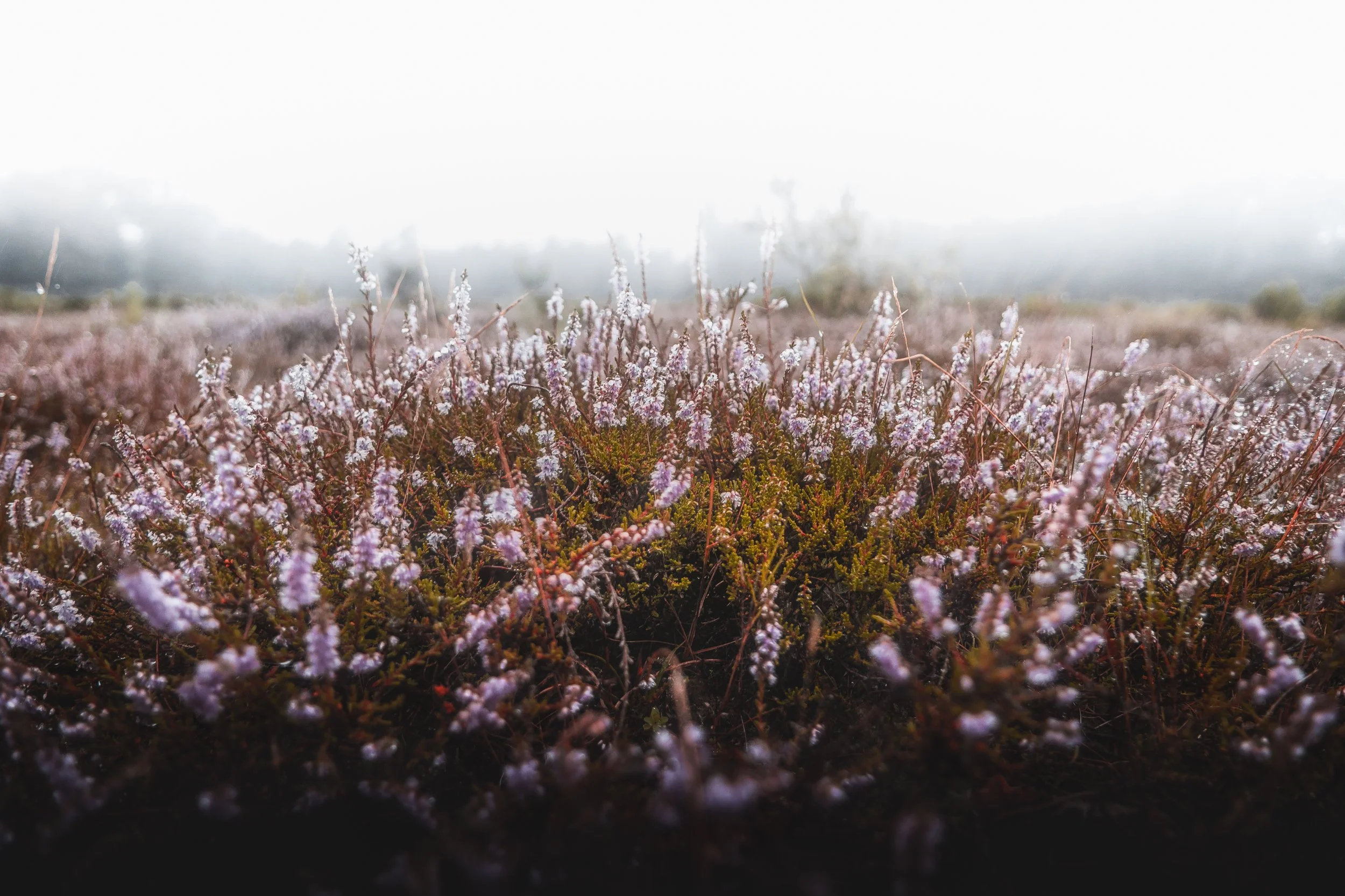
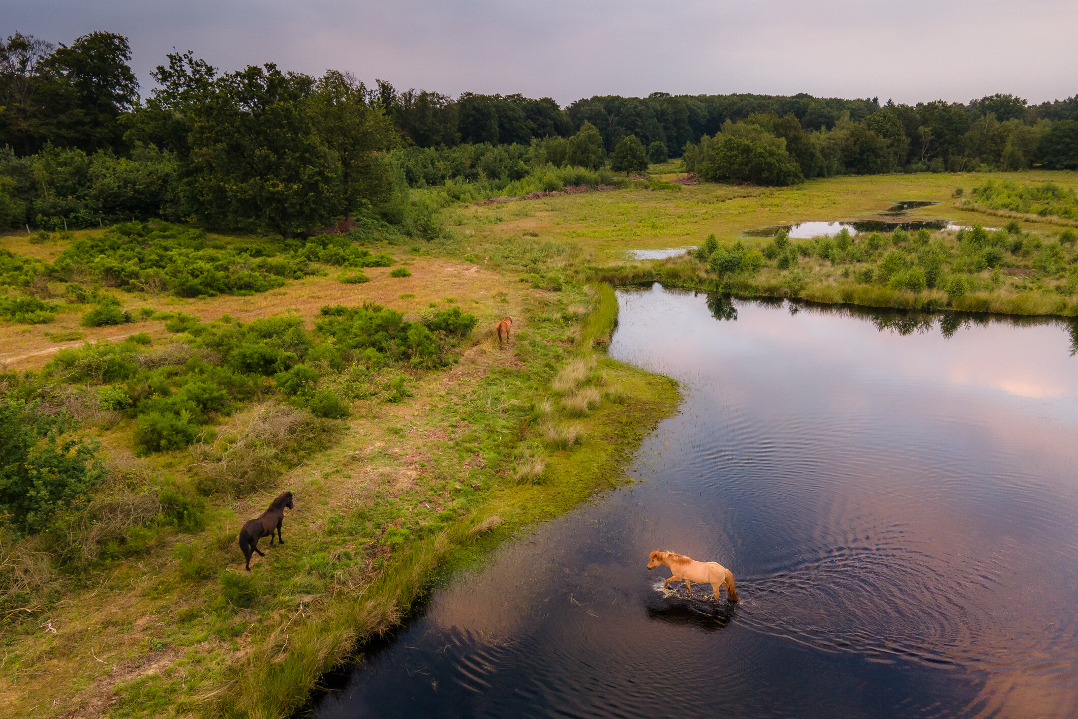
The Tuspeel measures 29 hectares and is probably the southernmost toponym that still contains the word 'peel'. With raised bog as the main feature of the area, the name is not so remarkable. Where 'tus' comes from is a mystery. It is a name that has been used for a long time; it was already called that at the beginning of the 20th century. From the very wet core of the area peat has never been dug away to disappear as peat in the stove. As a result, a number of characteristic species of a raised bog vegetation still occur here. The special area can be experienced from the edges. There are several freely accessible footpaths around the wet core.
The Tuspeel remains moist because of a loam layer in the soil. Peat formed in the depressions, but was not extracted as peat as in most of Limburg. This meant that the characteristic bog flora remained intact. This includes one-haired meadow grass and peat moss, white beak rush, sundew and in the pools floating pondweed and water thrift. Small cranberry, heather and lavender heather are also found. In the dry parts of the reserve one finds, among other things, spiny broom and sand blue.
The animal world includes: small green frog, two salamander species, more than ten species of dragonfly, greenhorn and phegea butterfly.
In the immediate vicinity of the area there are large ponds created by gravel extraction, in particular the Lange Vlieter, today a basin for the water supply company, and the recreational lake Lange Peel.


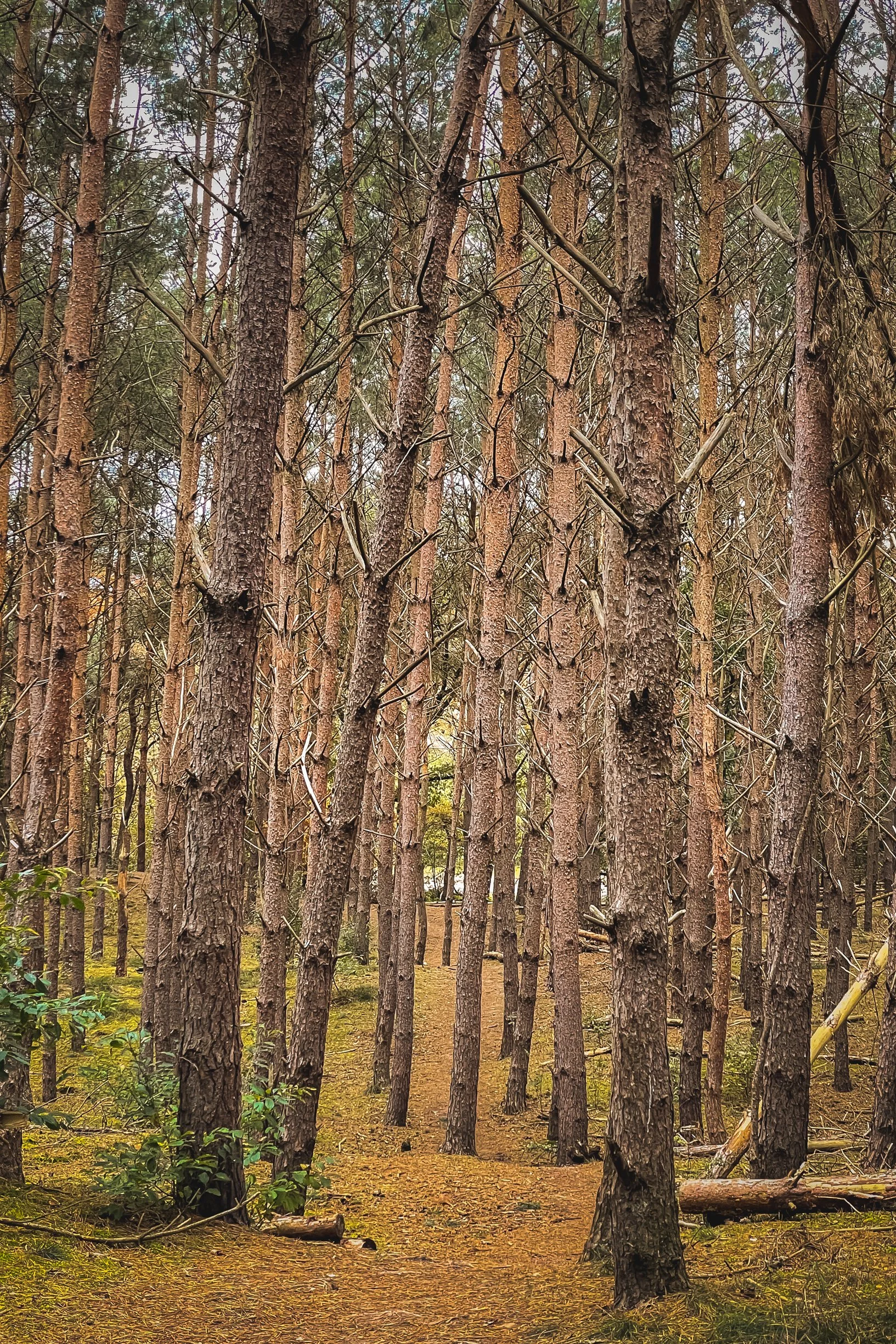
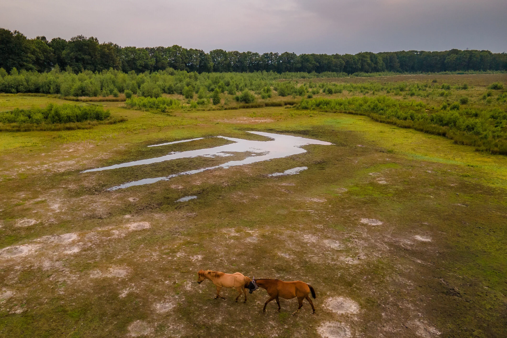
High drifting dunes around the bog core are planted with Scots pine and American oak. This is where the great spotted woodpecker and the green woodpecker nest. A small herd of horses graze the dry areas throughout the year, ensuring that most of the area does not become overgrown with birch forest.


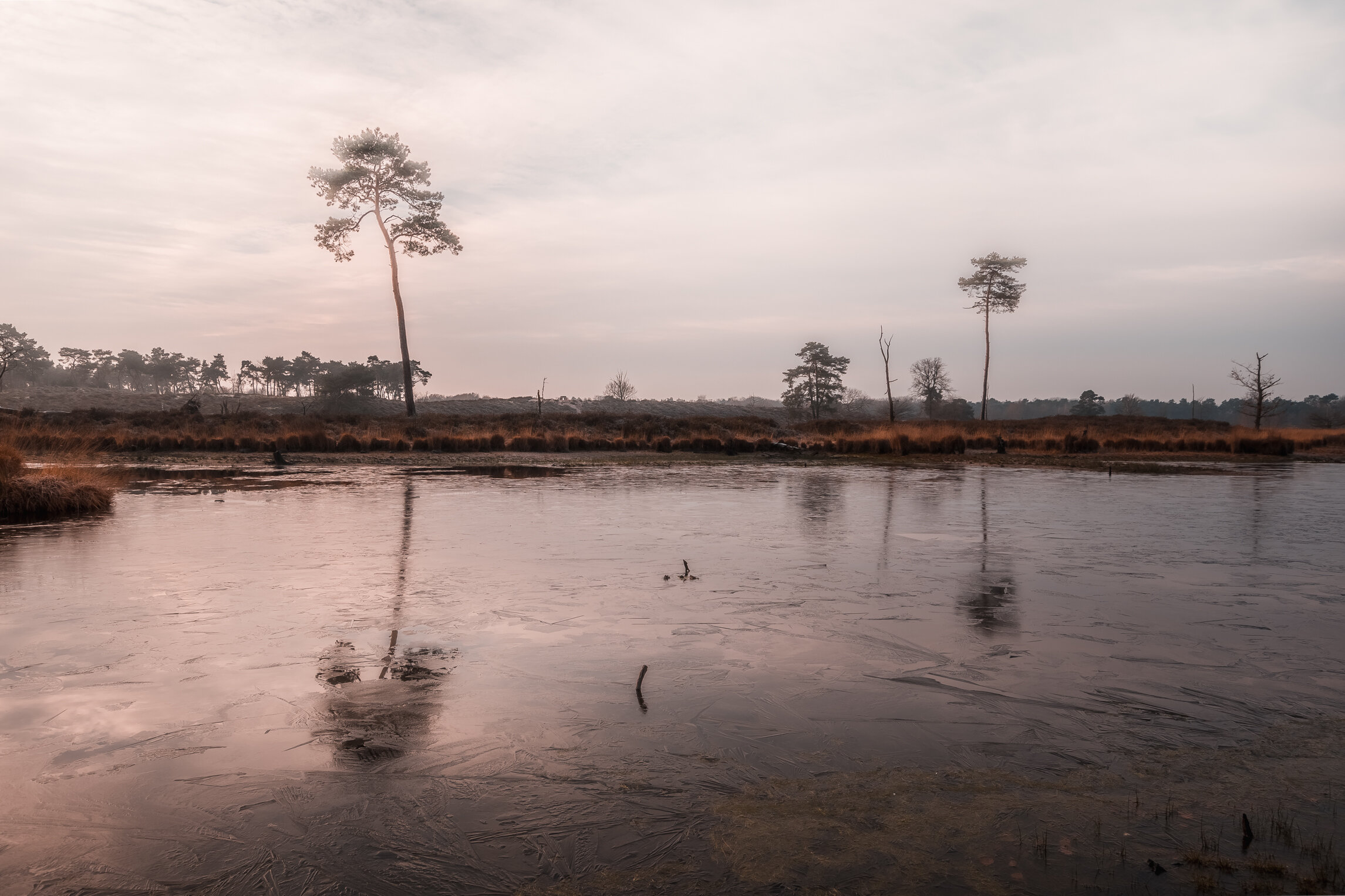
Hatertse en Overasseltse Vennen - Photo Gallery
If you are visiting this page, it is probably because you’ve seen my silent hiking video of this location. Here is a gallery with more photographs from that trip. Thanks a lot for watching. Friendly reminder: all my photographs are available for custom printing, reach out if you are interested.
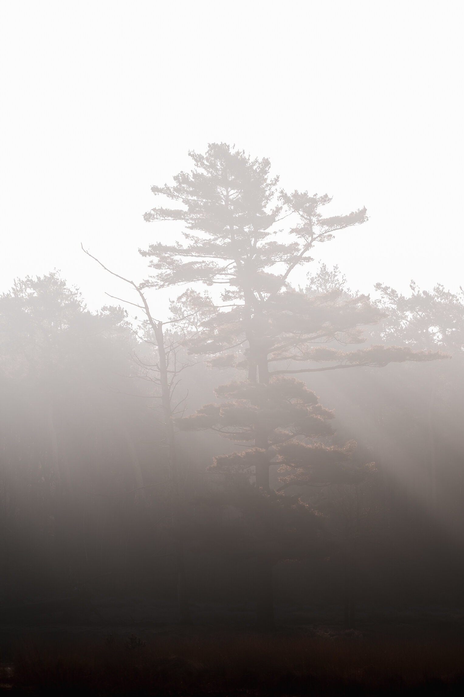
A nice and cold morning, with freezing temperatures. I love these crispy mornings. I got up early, had to drive one hour to get to this area, and missed sunr...
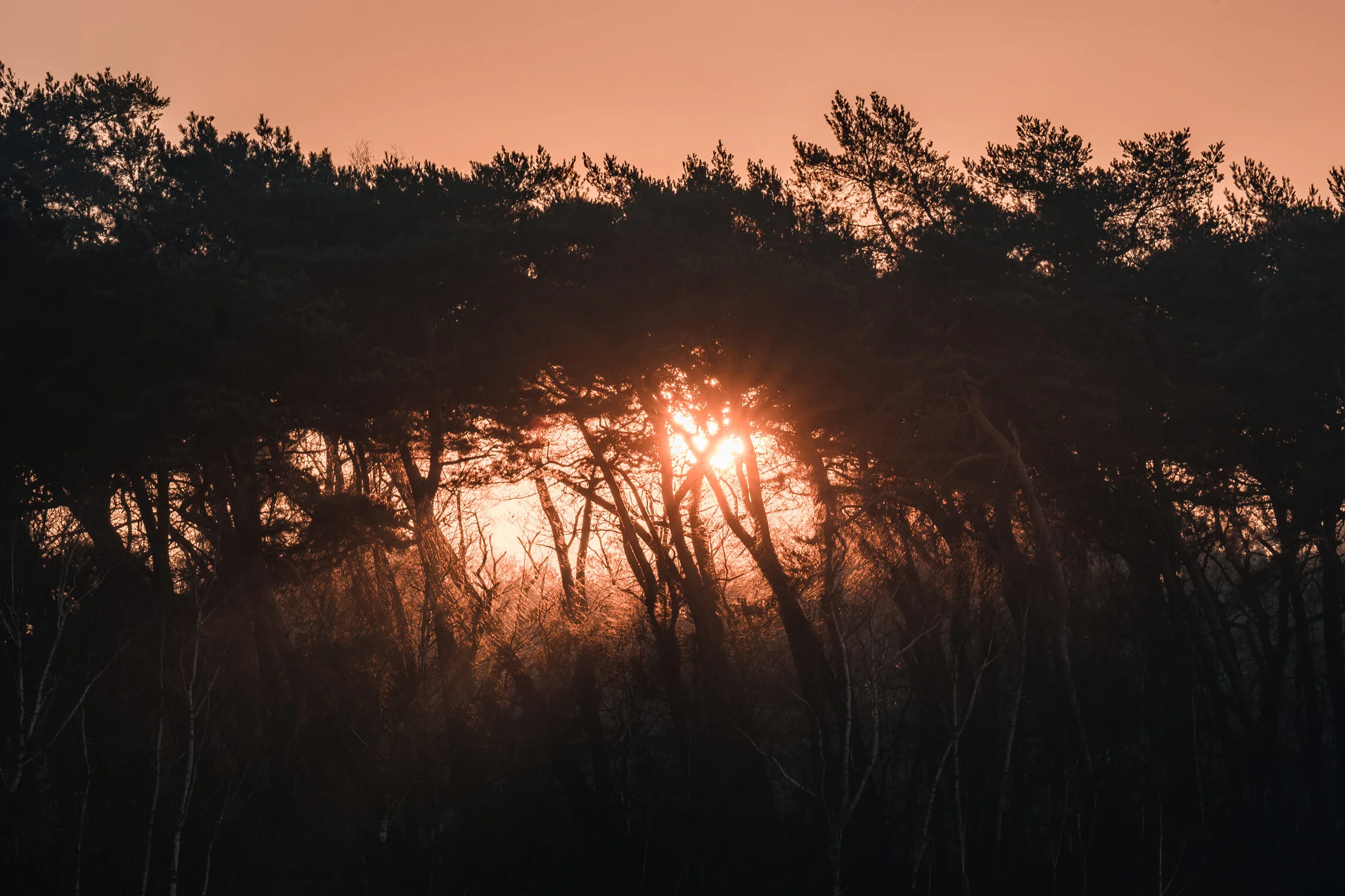


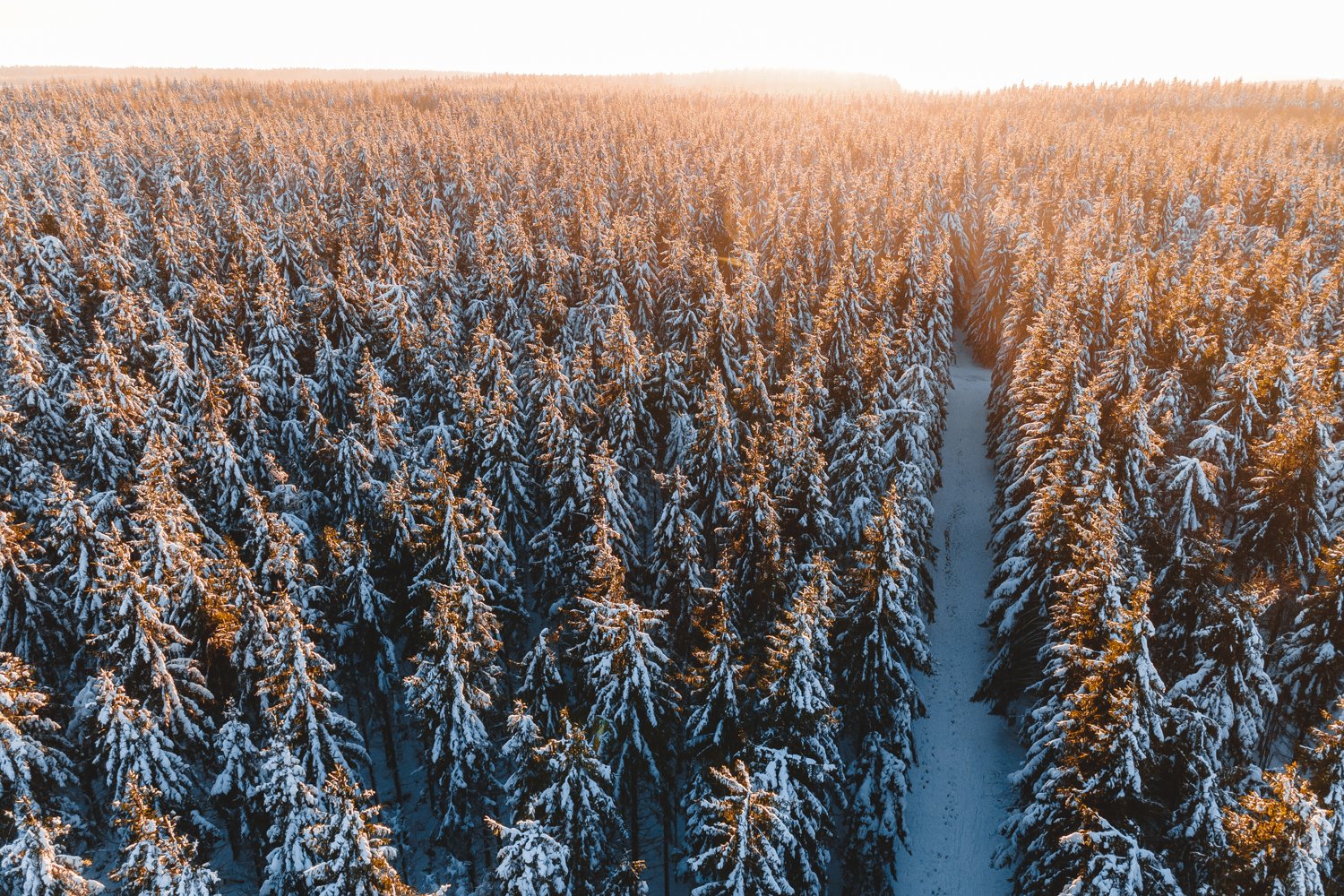
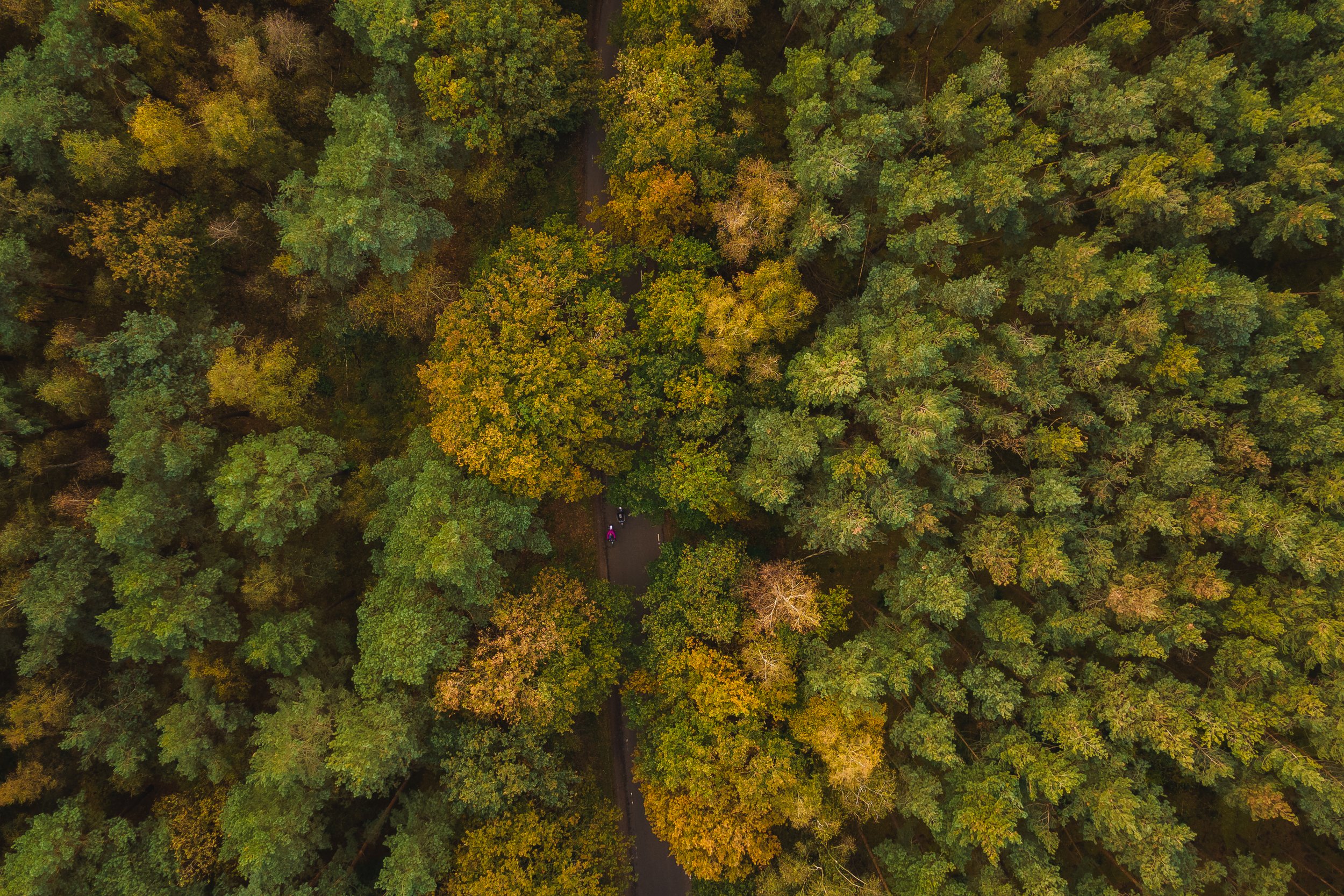
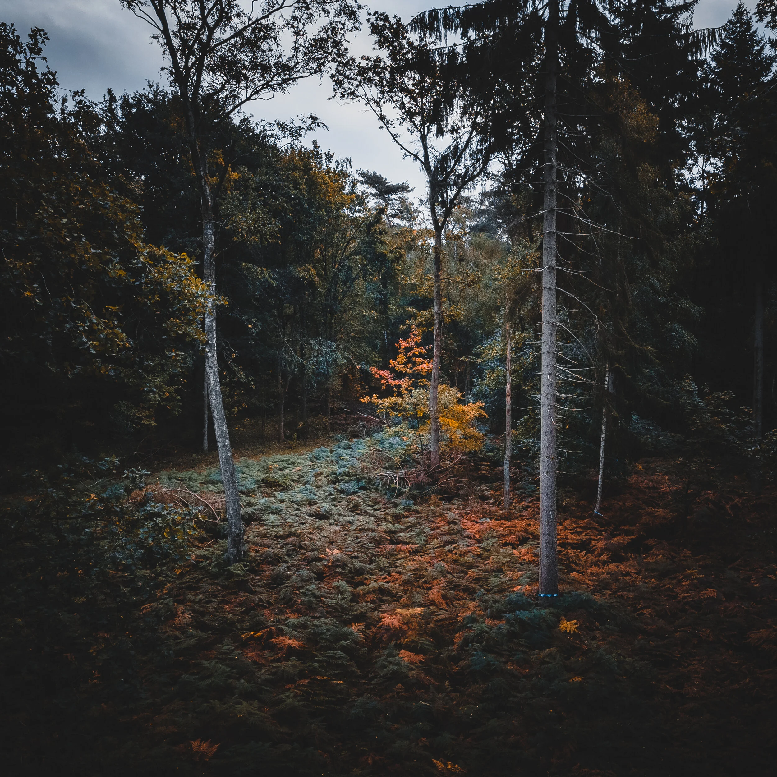
DJI Mavic Air 2 - Drone photography in the Forest
This morning I went for a session of forest photography. The autumn colors are starting to show.
But for this shoot I went and only used my drone this time. Trying to find and shoot some compositions from beneath the treetops and a little lower to the ground. It was quite dark here and there still. Since I was out in the early morning. Luckily my DJI Mavic Air 2 shoots decent HDR images. So I went and took a 5 bracket shot, and merged them in Lightroom on the computer in post processing. This gave me a larger dynamic range towards the challenging lighting conditions.


Thanks for checking out my blog, and website. Feel free to share, that means a lot to me.
Around Patreksfjörður, Iceland
Patreksfjörður is a fishing village, with about 650 inhabitants, located on the north side of the eponymous fjord. It is one of the oldest trading posts in the Westfjords. In this fjord the first potatoes were grown in Iceland in the 18th century. The main source of existence in Patreksfjörður is the fish processing industry. But tourism also plays an increasingly important role, the beauty of the region attracts many tourists. This is not surprising, because the fishing village has gems such as the Látrabjarg cliffs, Rauðasandur beach and the Dynjandi waterfall nearby.
Garðar BA 64
Just outside of Patreksfjörður there is quite an interesting site. A Shipwreck. This Icelandic ghost ship, the ‘Gardar BA 64’ is the oldest steel ship from Iceland. It was built in 1912 by a Norwegian shipyard and used for whaling in the Icelandic waters. The ship has been beached for years and is now a rusting ruin.
The ship, originally known as the ‘Globe IV’ was a state-of-the-art whaling vessel. The hull was specially reinforced to break through the icy Southern seas. During its active lifetime it was sold around to a number of different countries before finding an Icelandic owner in 1950. It was renamed ‘Garðar’ and it was used or fishing herring.
In 1981 the ship stranded at Patreksfjörður, one of the fjords in the north-west of the country. In fact the ship it is still there today. The Icelandic ghost ship is slowly rusting away.
Látrabjerg
Perhaps one of the best known places in The Westfjord area is Látrabjerg. About an hours drive from Patreksfjörður, well that is if you have a decent car for the trip. The road out there can be quite bad and rough. A 4x4 or bigger SUV is ideal for this road.


Látrabjarg is a headland, cliff and the most western part of Iceland and is also seen as the most western part of Europe (ignoring some islands of the Azores). The cliffs are inhabited by millions of birds, including puffins, gannets, guillemots and razorbills. It is of vital importance for their survival as it is home to up to 40% of the world's population of some species such as the razorbill. It is Europe's largest bird cliff, 14 kilometers long and up to 440 meters high.
Hjnótur
The previous farmer of the farm Hnjotur, Egill Olafsson († October 25th 1999) spent a large portion of his life collecting various items and articles of local and national historical importance for his museum. His interest and emphasis was for many reasons oriented towards the aviation history of the country. This museum is among the most interesting in the country and well worth the visiting. The museum also has very interesting setups from local history. Where can you see an old Viking ship, Russian airplane, a preach preparing to burry, old technology a lot of other things in the same little museum.
Dynjandi
Driving up north from Patreksfjörður will get you to the amazing Dynjandi waterfall(s). It is about a 1,5h drive one way. Water flows from the Dynjandisheiði plateau into the Dynjandisá river and then cascades down into the Dynjandi waterfall, also called Fjallfoss. The Dynjandi is the largest waterfall in the Westfjord area of Iceland. And it is a stunning location to spend some time photographing, and admiring the natural beauty and raw power of mother nature.
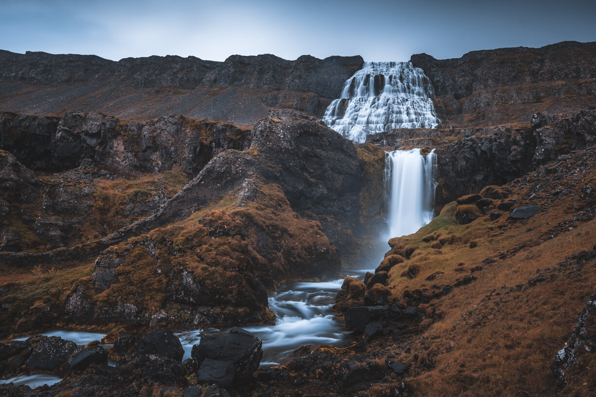

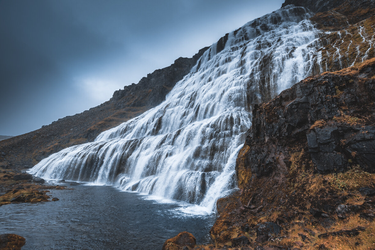

The waterfall is no less than 100 meters high, 30 meters wide at the top and about 60 meters wide at the bottom. The other six waterfalls further downstream are the Hæstahjallafoss, the Strompgljúfrafoss, the Göngumannafoss, the Hrísvaðsfoss, the Hundafoss and finally the Bæjarfoss. There is a footpath from the parking lot to the waterfall.
Thank you for checking out my blogpost, feel free to share this on your social media. And leave me a comment and a like. I am always looking forward to connect with my followers.